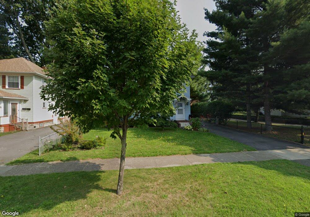
22 Worcester Rd Rochester, NY 14616
Estimated Value: $155,000 - $184,000
2
Beds
1
Bath
1,252
Sq Ft
$137/Sq Ft
Est. Value
About This Home
This home is located at 22 Worcester Rd, Rochester, NY 14616 and is currently estimated at $171,578, approximately $137 per square foot. 22 Worcester Rd is a home located in Monroe County with nearby schools including Greece Community Early Learning Center, Longridge Elementary School, and Olympia High School.
Ownership History
Date
Name
Owned For
Owner Type
Purchase Details
Closed on
Jun 29, 2006
Sold by
Hunt Michael
Bought by
Hirsh Frank
Current Estimated Value
Home Financials for this Owner
Home Financials are based on the most recent Mortgage that was taken out on this home.
Original Mortgage
$84,224
Outstanding Balance
$49,808
Interest Rate
6.58%
Mortgage Type
FHA
Estimated Equity
$121,770
Purchase Details
Closed on
May 11, 2001
Sold by
Ohara Shawn E
Bought by
Hunt Michael A
Create a Home Valuation Report for This Property
The Home Valuation Report is an in-depth analysis detailing your home's value as well as a comparison with similar homes in the area
Home Values in the Area
Average Home Value in this Area
Purchase History
| Date | Buyer | Sale Price | Title Company |
|---|---|---|---|
| Hirsh Frank | $84,900 | -- | |
| Hunt Michael A | $74,000 | Andrew J Embury |
Source: Public Records
Mortgage History
| Date | Status | Borrower | Loan Amount |
|---|---|---|---|
| Open | Hirsh Frank | $84,224 |
Source: Public Records
Tax History
| Year | Tax Paid | Tax Assessment Tax Assessment Total Assessment is a certain percentage of the fair market value that is determined by local assessors to be the total taxable value of land and additions on the property. | Land | Improvement |
|---|---|---|---|---|
| 2024 | $3,903 | $90,000 | $15,300 | $74,700 |
| 2023 | $3,722 | $90,000 | $15,300 | $74,700 |
| 2022 | $4,068 | $84,900 | $17,000 | $67,900 |
| 2021 | $4,045 | $84,900 | $17,000 | $67,900 |
| 2020 | $3,345 | $84,900 | $17,000 | $67,900 |
| 2019 | $3,263 | $84,900 | $17,000 | $67,900 |
| 2018 | $3,338 | $84,900 | $17,000 | $67,900 |
| 2017 | $1,331 | $84,900 | $17,000 | $67,900 |
| 2016 | $3,263 | $84,900 | $17,000 | $67,900 |
| 2015 | -- | $84,900 | $17,000 | $67,900 |
| 2014 | -- | $84,900 | $17,000 | $67,900 |
Source: Public Records
Map
Nearby Homes
- 92 Wheeldon Dr
- 271 Sheppler St
- 762 Bennington Dr
- 64 Chippendale Rd
- 514 Bennington Dr
- 29 W Boulevard Pkwy
- 21 Sheraton Dr
- 369 Stone Rd
- 128 Wendhurst Dr
- 343 Stonewood Ave
- 87 Leander Rd
- 188 Estall Rd
- 101 Freemont Rd
- 212 Almay Rd
- 6 Calvin Rd
- 115 Burley Rd
- 327 Estall Rd
- 99 Beverly Heights
- 365 Estall Rd
- 198 Weston Rd