220 9th Ave Chenoa, IL 61726
Estimated Value: $279,000 - $296,812
5
Beds
4
Baths
3,500
Sq Ft
$82/Sq Ft
Est. Value
About This Home
This home is located at 220 9th Ave, Chenoa, IL 61726 and is currently estimated at $287,453, approximately $82 per square foot. 220 9th Ave is a home located in McLean County with nearby schools including Prairie Central High School.
Ownership History
Date
Name
Owned For
Owner Type
Purchase Details
Closed on
Feb 7, 2013
Sold by
Frambes David and Frambes Kelly
Bought by
Conlisk John M and Conlisk Marcia D
Current Estimated Value
Home Financials for this Owner
Home Financials are based on the most recent Mortgage that was taken out on this home.
Original Mortgage
$180,000
Outstanding Balance
$125,422
Interest Rate
3.34%
Estimated Equity
$162,031
Create a Home Valuation Report for This Property
The Home Valuation Report is an in-depth analysis detailing your home's value as well as a comparison with similar homes in the area
Purchase History
| Date | Buyer | Sale Price | Title Company |
|---|---|---|---|
| Conlisk John M | $206,000 | Mclean County Tile |
Source: Public Records
Mortgage History
| Date | Status | Borrower | Loan Amount |
|---|---|---|---|
| Open | Conlisk John M | $180,000 |
Source: Public Records
Tax History Compared to Growth
Tax History
| Year | Tax Paid | Tax Assessment Tax Assessment Total Assessment is a certain percentage of the fair market value that is determined by local assessors to be the total taxable value of land and additions on the property. | Land | Improvement |
|---|---|---|---|---|
| 2024 | $6,634 | $82,335 | $7,222 | $75,113 |
| 2022 | $5,834 | $66,506 | $6,214 | $60,292 |
| 2021 | $5,600 | $64,985 | $6,072 | $58,913 |
| 2020 | $5,323 | $60,423 | $5,646 | $54,777 |
| 2019 | $5,465 | $60,423 | $5,646 | $54,777 |
| 2018 | $5,798 | $59,831 | $5,591 | $54,240 |
| 2017 | $5,189 | $59,831 | $5,591 | $54,240 |
| 2016 | $4,916 | $59,831 | $5,591 | $54,240 |
| 2015 | $4,830 | $61,391 | $5,737 | $55,654 |
| 2014 | $4,807 | $61,391 | $5,737 | $55,654 |
| 2013 | -- | $56,062 | $5,800 | $50,262 |
Source: Public Records
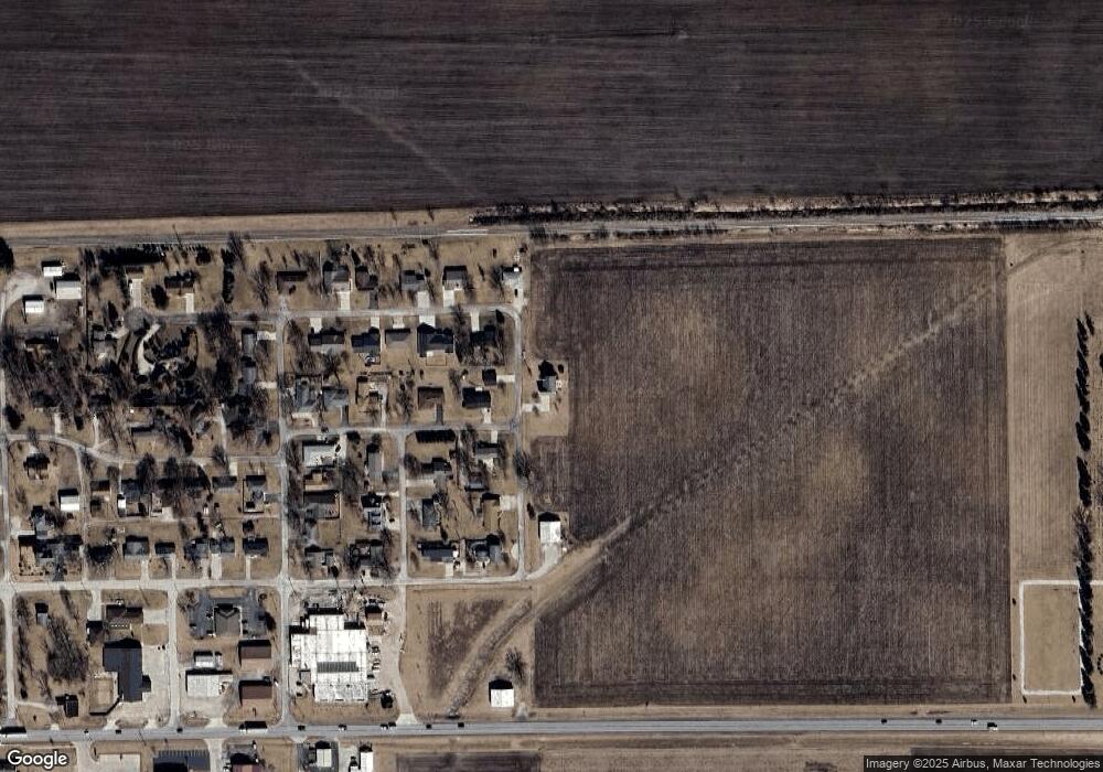
Map
Nearby Homes
- 605 Morningside Dr
- 517 Sunrise Dr
- 503 N Commercial St
- 602 N 4th Ave
- 117 Clark St
- 29758 N 2850 East Rd
- 10788 N 1000 Rd E
- 9898 E 1200 North Rd
- 31439 2nd St
- 706 W Wall St
- 14373 N 1700 Rd E
- 8735 N 2000 East Rd
- 10735 E 1700 Rd N
- 208 E 8th St
- 108 E Gridley Rd
- 1702 S Plum St
- 1204 W Reynolds St
- 105 Carol Ct Unit C-1
- 922 S Mill St
- 220 W Bennett St
- 220 S 9th Ave
- 1011 Warren St
- 112 Florence Ave
- 1012 Warren St
- 1009 Warren St
- 117 Florence Ave
- 303 8th Ave
- 315 9th Ave
- 113 Florence Ave
- 1006 Florence Ave
- 111 Florence Ave
- 317 9th Ave
- 1005 Warren St
- 104 Florence Ave
- 302 8th Ave
- 1101 Lincoln St
- 306 8th Ave
- 107 Florence Ave
- 1003 Warren St
- 100 Florence Ave