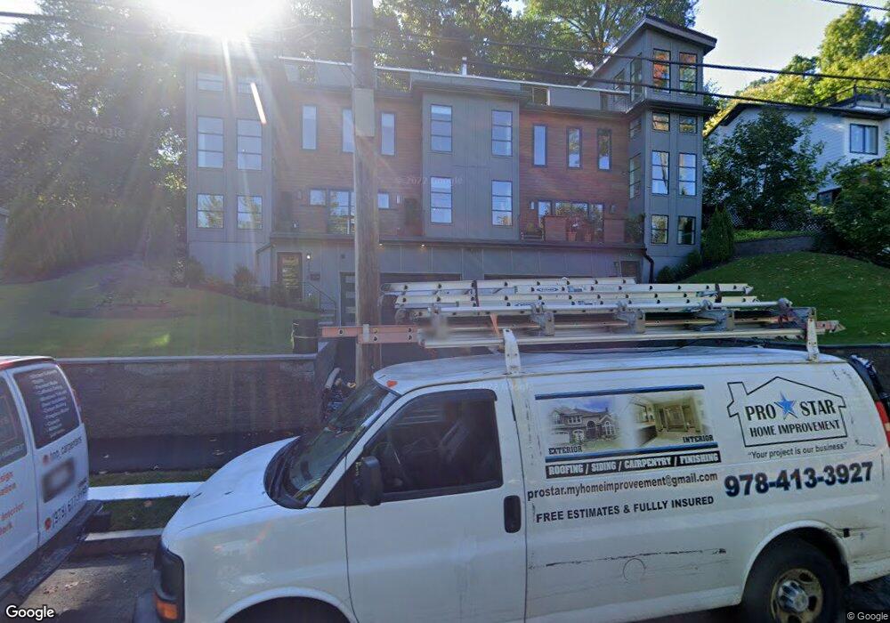
220 Austin St Unit 222 West Newton, MA 02465
West Newton NeighborhoodEstimated Value: $1,402,000 - $1,847,000
4
Beds
2
Baths
1,620
Sq Ft
$1,021/Sq Ft
Est. Value
About This Home
This home is located at 220 Austin St Unit 222, West Newton, MA 02465 and is currently estimated at $1,654,645, approximately $1,021 per square foot. 220 Austin St Unit 222 is a home located in Middlesex County with nearby schools including Cabot Elementary School, F.A. Day Middle School, and Newton North High School.
Ownership History
Date
Name
Owned For
Owner Type
Purchase Details
Closed on
May 3, 2018
Sold by
Austin Street Rt and Lee
Bought by
Denucci Development Co and Busa Construction & Dev
Current Estimated Value
Home Financials for this Owner
Home Financials are based on the most recent Mortgage that was taken out on this home.
Original Mortgage
$2,068,750
Outstanding Balance
$1,783,311
Interest Rate
4.45%
Mortgage Type
Commercial
Estimated Equity
-$128,666
Create a Home Valuation Report for This Property
The Home Valuation Report is an in-depth analysis detailing your home's value as well as a comparison with similar homes in the area
Home Values in the Area
Average Home Value in this Area
Purchase History
| Date | Buyer | Sale Price | Title Company |
|---|---|---|---|
| Denucci Development Co | $1,025,000 | -- |
Source: Public Records
Mortgage History
| Date | Status | Borrower | Loan Amount |
|---|---|---|---|
| Open | Denucci Development Co | $2,068,750 |
Source: Public Records
Tax History Compared to Growth
Tax History
| Year | Tax Paid | Tax Assessment Tax Assessment Total Assessment is a certain percentage of the fair market value that is determined by local assessors to be the total taxable value of land and additions on the property. | Land | Improvement |
|---|---|---|---|---|
| 2025 | $16,887 | $1,723,200 | $0 | $1,723,200 |
| 2024 | $16,299 | $1,670,000 | $0 | $1,670,000 |
| 2023 | $16,132 | $1,584,700 | $0 | $1,584,700 |
| 2022 | $27,922 | $2,654,200 | $548,900 | $2,105,300 |
| 2021 | $18,193 | $1,690,800 | $503,600 | $1,187,200 |
| 2020 | $9,570 | $916,700 | $916,700 | $0 |
| 2019 | $8,768 | $839,000 | $470,700 | $368,300 |
| 2018 | $8,888 | $821,400 | $451,600 | $369,800 |
| 2017 | $8,380 | $753,600 | $414,300 | $339,300 |
| 2016 | $7,868 | $691,400 | $380,100 | $311,300 |
| 2015 | $7,502 | $646,200 | $355,200 | $291,000 |
Source: Public Records
Map
Nearby Homes
- 140 Mount Vernon St
- 12 Wiswall St
- 123 Mount Vernon St Unit 2
- 4 Wiswall St
- 27 Cross St Unit 27
- 318 Austin St Unit A
- 4 Hosmer Cir
- 33 Birch Hill Rd
- 20 Birch Hill Rd
- 935 Washington St (Rear Facing) Unit 11
- 935 Washington St Unit 8
- 43 Walker St
- 911 Washington St
- 79 Chestnut St Unit 2
- 321 Albemarle Rd
- 299 Albemarle Rd
- 12 Inis Cir
- 22 Walnut Place Unit 1
- 70 Bigelow Rd
- 32-34 Rossmere St
- 220 Austin St Unit 1
- 222 Austin St Unit 222
- 220 Austin St Unit 220
- 222 Austin St Unit 1
- 220-222 Austin St
- 216 Austin St
- 230 Austin St
- 230 Austin St Unit A
- 230 Austin St Unit B
- 230 Austin St Unit 230-A
- 230 Austin St Unit 1
- 230 Austin St Unit 2
- 210 Austin St
- 169 Mount Vernon St
- 175 Mount Vernon St
- 159 Mount Vernon St
- 238 Austin St
- 238 Austin St
- 35 Allston St
- 3 Allston St