220 Crescent St Powhatan Point, OH 43942
Estimated Value: $96,000 - $230,000
3
Beds
1
Bath
912
Sq Ft
$162/Sq Ft
Est. Value
About This Home
This home is located at 220 Crescent St, Powhatan Point, OH 43942 and is currently estimated at $147,367, approximately $161 per square foot. 220 Crescent St is a home located in Belmont County with nearby schools including Powhatan Elementary School and Beallsville High School.
Ownership History
Date
Name
Owned For
Owner Type
Purchase Details
Closed on
Apr 29, 2003
Sold by
Brown Valerie J
Bought by
Brown Valerie J
Current Estimated Value
Purchase Details
Closed on
Jul 8, 2002
Sold by
Brown Valerie
Bought by
Brown Valerie
Purchase Details
Closed on
Jun 27, 1996
Sold by
Brown Valerie J
Bought by
Brown Valerie J
Purchase Details
Closed on
Apr 26, 1995
Bought by
Brown Valerie J Et 1
Purchase Details
Closed on
Jan 1, 1986
Sold by
Kriechbaum Marva Lyn
Bought by
Kriechbaum Marva Lyn
Create a Home Valuation Report for This Property
The Home Valuation Report is an in-depth analysis detailing your home's value as well as a comparison with similar homes in the area
Purchase History
| Date | Buyer | Sale Price | Title Company |
|---|---|---|---|
| Brown Valerie J | -- | -- | |
| Brown Valerie | -- | -- | |
| Brown Valerie J | -- | -- | |
| Brown Valerie J Et 1 | -- | -- | |
| Kriechbaum Marva Lyn | -- | -- |
Source: Public Records
Tax History
| Year | Tax Paid | Tax Assessment Tax Assessment Total Assessment is a certain percentage of the fair market value that is determined by local assessors to be the total taxable value of land and additions on the property. | Land | Improvement |
|---|---|---|---|---|
| 2025 | $1,493 | $43,360 | $5,440 | $37,920 |
| 2023 | $1,567 | $40,680 | $6,650 | $34,030 |
| 2022 | $1,565 | $40,680 | $6,650 | $34,030 |
| 2021 | $1,559 | $40,680 | $6,650 | $34,030 |
| 2020 | $1,195 | $29,450 | $5,780 | $23,670 |
| 2019 | $1,198 | $29,450 | $5,780 | $23,670 |
| 2018 | $1,215 | $29,450 | $5,780 | $23,670 |
| 2017 | $1,465 | $34,030 | $6,360 | $27,670 |
| 2016 | $1,388 | $34,030 | $6,360 | $27,670 |
| 2015 | $1,421 | $34,030 | $6,360 | $27,670 |
| 2014 | $1,229 | $30,930 | $5,780 | $25,150 |
| 2013 | $1,312 | $30,930 | $5,780 | $25,150 |
Source: Public Records
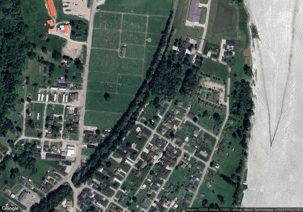
Map
Nearby Homes
- 110 Cove Dr
- 0 Clark St
- 121 1st St
- 122 2nd St
- 54885 Mount Victory Rd
- 0 Mount Victory Rd
- 252 Kansas Ridge Ln
- 54360 Mount Victory Rd
- 1314 Lindsay Lane Rd
- 9 Gypsy Dr
- 53 Blue Jay Ln
- 2 Roberts Ridge Saint Joseph Rd
- 49 Lavender Ln
- 85 Virginia Oaks Dr
- 12 Tiffany Ln
- 911 12th St
- 4796 Big Grave Creek Rd
- 803 Lockwood Ave & 8th St
- 309 8th St
- 1028 Morton Ave
- 149 Carrie St
- 151 Carrie St
- 146 Elizabeth Ave
- 147 Elizabeth Ave
- 152 Carrie St
- 154 Carrie St
- 143 Carrie St
- 150 Carrie St
- 156 Carrie St
- 148 Elizabeth Ave
- 146 Carrie St
- 107 Marian Dell Ave
- 142 Carrie St
- 150 Elizabeth Ave
- 141 Carrie St
- 106 Marian Dell Ave
- 243 Neff St
- 368 Highway 7 N
- 138 Carrie St
- 109 Marian Dell Ave
Your Personal Tour Guide
Ask me questions while you tour the home.