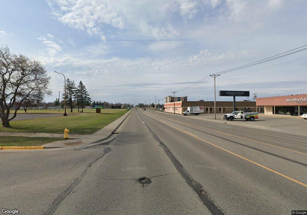
220 Dairy Ln NE Bemidji, MN 56601
Estimated Value: $319,000 - $1,148,803
2
Beds
1
Bath
884
Sq Ft
$830/Sq Ft
Est. Value
About This Home
This home is located at 220 Dairy Ln NE, Bemidji, MN 56601 and is currently estimated at $733,902, approximately $830 per square foot. 220 Dairy Ln NE is a home located in Beltrami County with nearby schools including Lincoln Elementary School, Bemidji Middle School, and Bemidji Senior High School.
Ownership History
Date
Name
Owned For
Owner Type
Purchase Details
Closed on
Dec 21, 2017
Sold by
Swenson Roger A and Swenson Linda M
Bought by
Swenson Roger A and Swenson Linda M
Current Estimated Value
Purchase Details
Closed on
Oct 25, 2017
Sold by
Swenson Roger A
Bought by
Swenson Roger A and Swenson Linda M
Purchase Details
Closed on
Aug 18, 2017
Sold by
Swenson Jon G and Swenson Marilyn A
Bought by
Swenson Roger A and Swenson Linda M
Purchase Details
Closed on
Jul 23, 2010
Sold by
Swenson Roger A and Swenson Linda M
Bought by
Sukkarieh Leona and Sukkarieh Zafer
Purchase Details
Closed on
Nov 1, 2006
Sold by
Swenson Farm Of Frohn Inc
Bought by
Swenson Roger A and Swenson Linda M
Create a Home Valuation Report for This Property
The Home Valuation Report is an in-depth analysis detailing your home's value as well as a comparison with similar homes in the area
Home Values in the Area
Average Home Value in this Area
Purchase History
| Date | Buyer | Sale Price | Title Company |
|---|---|---|---|
| Swenson Roger A | -- | None Available | |
| Swenson Roger A | -- | None Available | |
| Swenson Roger A | $153,063 | None Available | |
| Sukkarieh Leona | -- | None Available | |
| Swenson Roger A | -- | None Available |
Source: Public Records
Tax History Compared to Growth
Tax History
| Year | Tax Paid | Tax Assessment Tax Assessment Total Assessment is a certain percentage of the fair market value that is determined by local assessors to be the total taxable value of land and additions on the property. | Land | Improvement |
|---|---|---|---|---|
| 2025 | $5,419 | $1,013,300 | $434,600 | $578,700 |
| 2024 | $5,298 | $993,400 | $431,700 | $561,700 |
| 2023 | $5,570 | $993,400 | $431,700 | $561,700 |
| 2022 | $5,106 | $997,200 | $506,400 | $490,800 |
| 2021 | $5,106 | $766,600 | $407,700 | $358,900 |
| 2019 | $4,892 | $766,600 | $407,700 | $358,900 |
| 2018 | $4,520 | $744,800 | $407,700 | $337,100 |
| 2016 | $3,584 | $694,100 | $406,400 | $287,700 |
| 2015 | $4,892 | $697,900 | $0 | $0 |
| 2014 | $4,440 | $698,700 | $0 | $0 |
| 2011 | $4,548 | $697,900 | $0 | $0 |
Source: Public Records
Map
Nearby Homes
- 454 Wagon Wheel Dr SE Unit 17
- 454 Wagon Wheel Dr SE Unit 9
- TBD Anjonabe Ct SE
- 14635 Anjonabe Ct SE
- 1707 Crosby Ct SE Unit 10
- 11106 Atylade Ct NE
- 10106 Power Dam Rd NE
- 13217 Beaver Rd NE
- 2224 Peninsula Ct NE
- TBD Andrusia Rd SE Unit Lot 4, Block 1
- TBD Andrusia Rd SE
- TBD Andrusia Rd SE Unit Lot 7, Block 1
- TBD Andrusia Rd SE Unit Lot 6, Block 1
- 1763 Cadbary Ln SE
- 3803 Cornflower Ct SE
- 8329 Stump Lake Dr NE
- 4796 Badger Ln SE
- 0000 Lamon Rd NE
- 000 Lamon Rd NE
- 2235 Trees Ln SE Unit 19
- 116 Dairy Ln NE
- 12865 Cattail Ln E
- 0 Emerald Acres Ln NE Unit 5587119
- 0 Emerald Acres Ln NE Unit 5587121
- 0 Emerald Acres Ln NE Unit 5587120
- 0 Emerald Acres Ln NE Unit 5587132
- 0 Emerald Acres Ln NE Unit 5587080
- 0 Emerald Acres Ln NE Unit 5587067
- 12664 Cattail Ln E
- 522 Swenson Rd NE
- 12917 Cattail Ln E
- 12812 Cattail Ln E
- 13181 Cattail Ln E
- 13201 Cattail Ln E
- 435 Swenson Rd NE
- TBD Emerald Acres Ln NE
- 12781 Emerald Acres Ln NE
- 13259 Cattail Ln E
- 12739 Emerald Acres Ln NE
- 12739 Emerald Acres Ln NE
