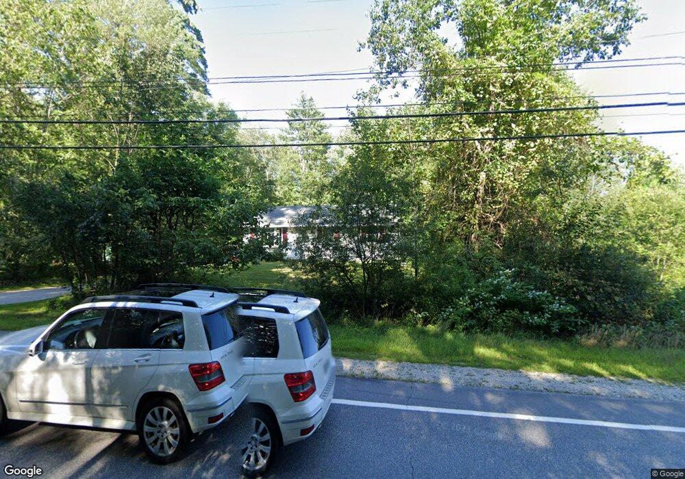
220 Daniel Webster Hwy Boscawen, NH 03303
Estimated Value: $363,428 - $429,000
2
Beds
1
Bath
1,151
Sq Ft
$338/Sq Ft
Est. Value
About This Home
This home is located at 220 Daniel Webster Hwy, Boscawen, NH 03303 and is currently estimated at $388,607, approximately $337 per square foot. 220 Daniel Webster Hwy is a home located in Merrimack County with nearby schools including Boscawen Elementary School, Merrimack Valley Middle School, and Merrimack Valley High School.
Ownership History
Date
Name
Owned For
Owner Type
Purchase Details
Closed on
Jan 30, 1997
Sold by
Letourneau Raymond G
Bought by
Mounsey Linda R
Current Estimated Value
Home Financials for this Owner
Home Financials are based on the most recent Mortgage that was taken out on this home.
Original Mortgage
$58,200
Outstanding Balance
$6,633
Interest Rate
7.65%
Estimated Equity
$381,974
Create a Home Valuation Report for This Property
The Home Valuation Report is an in-depth analysis detailing your home's value as well as a comparison with similar homes in the area
Home Values in the Area
Average Home Value in this Area
Purchase History
| Date | Buyer | Sale Price | Title Company |
|---|---|---|---|
| Mounsey Linda R | $60,000 | -- |
Source: Public Records
Mortgage History
| Date | Status | Borrower | Loan Amount |
|---|---|---|---|
| Open | Mounsey Linda R | $25,000 | |
| Closed | Mounsey Linda R | $25,000 | |
| Open | Mounsey Linda R | $58,200 |
Source: Public Records
Tax History Compared to Growth
Tax History
| Year | Tax Paid | Tax Assessment Tax Assessment Total Assessment is a certain percentage of the fair market value that is determined by local assessors to be the total taxable value of land and additions on the property. | Land | Improvement |
|---|---|---|---|---|
| 2024 | $5,308 | $275,600 | $130,300 | $145,300 |
| 2023 | $5,355 | $275,600 | $130,300 | $145,300 |
| 2022 | $5,222 | $168,600 | $81,400 | $87,200 |
| 2021 | $4,785 | $168,600 | $81,400 | $87,200 |
| 2020 | $4,517 | $168,600 | $81,400 | $87,200 |
| 2019 | $4,710 | $167,500 | $81,400 | $86,100 |
| 2018 | $4,456 | $167,500 | $81,400 | $86,100 |
| 2017 | $4,055 | $135,300 | $54,900 | $80,400 |
| 2016 | $3,871 | $135,300 | $54,900 | $80,400 |
| 2015 | $3,978 | $135,300 | $54,900 | $80,400 |
| 2014 | $3,863 | $135,300 | $54,900 | $80,400 |
| 2013 | $3,661 | $135,300 | $54,900 | $80,400 |
Source: Public Records
Map
Nearby Homes
- 222 Daniel Webster Hwy
- 19 Bailey Dr
- 187 Intervale Rd
- 254 King St
- 250 King St
- 187 King St
- 293 Queen St
- 527 Northwest Rd
- 29 Duston Dr
- 437 High St
- Map 6, Lot 38 Chadwick Hill Rd
- 57 Center Rd
- 3A Red Oak Way Unit 3A
- 3B Red Oak Way
- 5A Red Oak Way Unit 5A
- 4A Red Oak Way
- 6 Eagle Perch Dr Unit 14
- 9 Eagle Perch Dr Unit 5
- 2 Eagle Perch Dr Unit 16
- 6A Villa Brasi Ln
- 216 Daniel Webster Hwy
- 2 Fairbanks Dr
- 221 Daniel Webster Hwy
- 215 Daniel Webster Hwy
- 4 Fairbanks Dr
- 1 Fairbanks Dr
- 213 Daniel Webster Hwy
- 213 Dw Hwy
- 3 Fairbanks Dr
- 6 Fairbanks Dr
- 5 Fairbanks Dr
- 225 Daniel Webster Hwy
- 209 Daniel Webster Hwy
- 205 Daniel Webster Hwy Unit 207
- 229 Daniel Webster Hwy
- lot 67 & 6 Daniel Webster
- 9 Rosue Dr
- 18 Bailey Dr
- 10 Bailey Dr
- 16 Rosue Dr