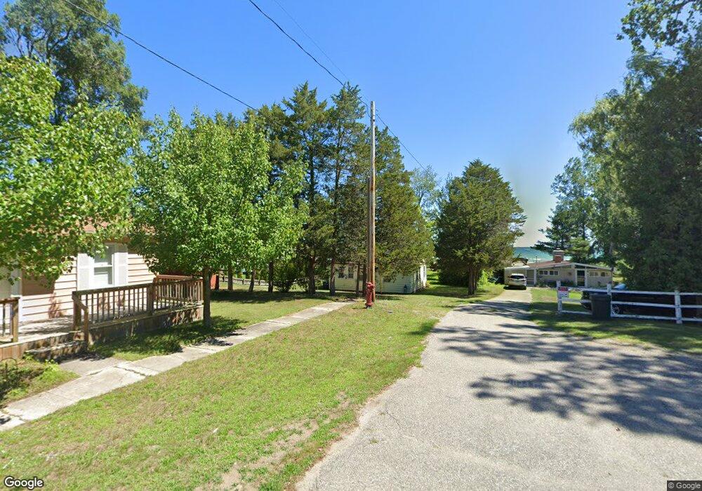
220 E Bank Ave Oscoda, MI 48750
Estimated Value: $215,000 - $414,000
3
Beds
1
Bath
864
Sq Ft
$361/Sq Ft
Est. Value
About This Home
This home is located at 220 E Bank Ave, Oscoda, MI 48750 and is currently estimated at $311,647, approximately $360 per square foot. 220 E Bank Ave is a home located in Iosco County with nearby schools including Richardson Elementary School and Oscoda Area High School.
Ownership History
Date
Name
Owned For
Owner Type
Purchase Details
Closed on
Jun 13, 2025
Sold by
Mercier Shelly and Mercier Kenneth
Bought by
Player Revocable Living Trust and Player
Current Estimated Value
Purchase Details
Closed on
May 10, 2019
Sold by
Burrell James R and Burrell Claudia M
Bought by
Mercier Kenneth and Mercier Shely
Home Financials for this Owner
Home Financials are based on the most recent Mortgage that was taken out on this home.
Original Mortgage
$100,800
Interest Rate
4.1%
Mortgage Type
New Conventional
Purchase Details
Closed on
Jul 29, 2011
Sold by
Burell Claudette and Morris Susan
Bought by
Berrell James R and Burrell Claudia M
Create a Home Valuation Report for This Property
The Home Valuation Report is an in-depth analysis detailing your home's value as well as a comparison with similar homes in the area
Home Values in the Area
Average Home Value in this Area
Purchase History
| Date | Buyer | Sale Price | Title Company |
|---|---|---|---|
| Player Revocable Living Trust | $380,000 | Landmark Title | |
| Mercier Kenneth | $112,000 | -- | |
| Berrell James R | -- | -- |
Source: Public Records
Mortgage History
| Date | Status | Borrower | Loan Amount |
|---|---|---|---|
| Previous Owner | Mercier Kenneth | $100,800 |
Source: Public Records
Tax History
| Year | Tax Paid | Tax Assessment Tax Assessment Total Assessment is a certain percentage of the fair market value that is determined by local assessors to be the total taxable value of land and additions on the property. | Land | Improvement |
|---|---|---|---|---|
| 2025 | $1,006 | $84,500 | $84,500 | $0 |
| 2024 | $1,717 | $83,000 | $0 | $0 |
| 2023 | $838 | $67,300 | $67,300 | $0 |
| 2022 | $2,732 | $65,500 | $65,500 | $0 |
| 2021 | $2,642 | $61,000 | $61,000 | $0 |
| 2020 | $3,138 | $73,400 | $73,400 | $0 |
| 2019 | $1,657 | $69,200 | $69,200 | $0 |
| 2018 | $1,623 | $67,300 | $67,300 | $0 |
| 2017 | $1,433 | $63,300 | $63,300 | $0 |
| 2016 | $2,530 | $63,300 | $0 | $0 |
| 2015 | -- | $69,500 | $0 | $0 |
| 2014 | -- | $70,300 | $0 | $0 |
| 2013 | -- | $68,600 | $0 | $0 |
Source: Public Records
Map
Nearby Homes
- 411 Ottawa Dr
- 134 Harbor St
- 891 S State St
- #26 Appletree Trail
- #49 Appletree Trail
- #21 Meadow Ln
- #25 Appletree Trail
- Vl Vaughan Trail
- #46 Vaughan Trail
- #48 Vaughan Trail
- #3 Vaughan Trail
- #20 Vaughan Trail
- VL Vaughan Trail
- #18 Vaughan Trail
- #1 Vaughan Trail
- #16 Vaughan Trail
- #13 Vaughan Trail
- #17 Vaughan Trail
- #47 Vaughan Trail
- 0 Vl Vaughn Trail
Your Personal Tour Guide
Ask me questions while you tour the home.