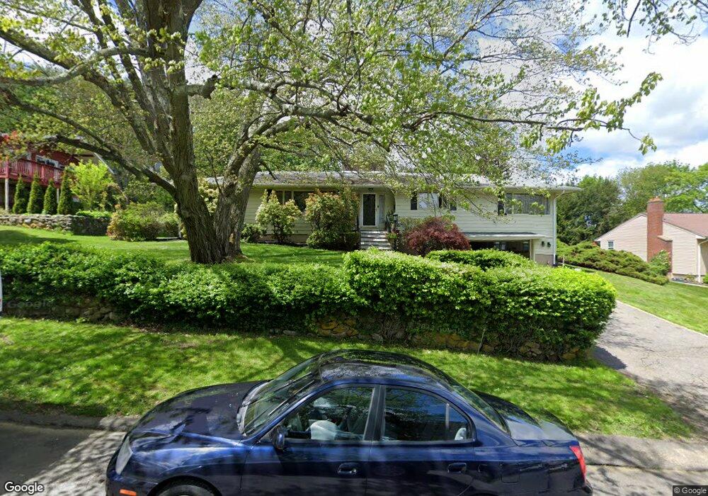
220 Forest Ridge Rd Waterbury, CT 06708
Bunker Hill NeighborhoodEstimated Value: $442,806 - $538,000
3
Beds
3
Baths
2,752
Sq Ft
$177/Sq Ft
Est. Value
About This Home
This home is located at 220 Forest Ridge Rd, Waterbury, CT 06708 and is currently estimated at $488,452, approximately $177 per square foot. 220 Forest Ridge Rd is a home located in New Haven County with nearby schools including Carrington Elementary School, Wilby High School, and Blessed Sacrament Catholic Day School.
Ownership History
Date
Name
Owned For
Owner Type
Purchase Details
Closed on
Apr 30, 2018
Sold by
Sicard Patricia
Bought by
Devito Lawrence
Current Estimated Value
Purchase Details
Closed on
Aug 22, 2000
Sold by
Ceccherni Margaret Est and Ceccherini
Bought by
Devito Lawrence M and Devito Patricia A
Home Financials for this Owner
Home Financials are based on the most recent Mortgage that was taken out on this home.
Original Mortgage
$144,400
Interest Rate
8.13%
Mortgage Type
Purchase Money Mortgage
Create a Home Valuation Report for This Property
The Home Valuation Report is an in-depth analysis detailing your home's value as well as a comparison with similar homes in the area
Home Values in the Area
Average Home Value in this Area
Purchase History
| Date | Buyer | Sale Price | Title Company |
|---|---|---|---|
| Devito Lawrence | -- | -- | |
| Devito Lawrence M | $180,500 | -- |
Source: Public Records
Mortgage History
| Date | Status | Borrower | Loan Amount |
|---|---|---|---|
| Previous Owner | Devito Lawrence M | $144,400 |
Source: Public Records
Tax History Compared to Growth
Tax History
| Year | Tax Paid | Tax Assessment Tax Assessment Total Assessment is a certain percentage of the fair market value that is determined by local assessors to be the total taxable value of land and additions on the property. | Land | Improvement |
|---|---|---|---|---|
| 2025 | $11,776 | $261,800 | $23,590 | $238,210 |
| 2024 | $12,943 | $261,800 | $23,590 | $238,210 |
| 2023 | $14,187 | $261,800 | $23,590 | $238,210 |
| 2022 | $9,661 | $160,450 | $23,600 | $136,850 |
| 2021 | $9,661 | $160,450 | $23,600 | $136,850 |
| 2020 | $9,661 | $160,450 | $23,600 | $136,850 |
| 2019 | $9,661 | $160,450 | $23,600 | $136,850 |
| 2018 | $9,661 | $160,450 | $23,600 | $136,850 |
| 2017 | $10,367 | $172,180 | $23,610 | $148,570 |
| 2016 | $10,367 | $172,180 | $23,610 | $148,570 |
| 2015 | $10,024 | $172,180 | $23,610 | $148,570 |
| 2014 | $10,024 | $172,180 | $23,610 | $148,570 |
Source: Public Records
Map
Nearby Homes
- 76 Kenmore Ave
- 62 Haddad Rd
- 32 Clough Rd
- 51 Haddad Rd
- 208 Kendall Cir
- 134 Heritage Dr
- 640 Bunker Hill Ave
- 00 Bunker Hill Ave
- 859 Bunker Hill Ave
- 26 Kendall Cir
- 28 Gaylord Glen
- 00 Gaylord Glen
- 278 Georgetown Dr
- 39 Glendale Dr
- 107 Angel Dr Unit B
- 91 Devonwood Dr
- 98 Angel Dr
- 248 Oakville Ave Unit E
- 218 Oakville Ave Unit C
- 282 Oakville Ave
- 210 Forest Ridge Rd
- 230 Forest Ridge Rd
- 211 Forest Ridge Rd
- 200 Forest Ridge Rd
- 201 Forest Ridge Rd
- 244 Forest Ridge Rd
- 241 Forest Ridge Rd
- 190 Forest Ridge Rd
- 193 Forest Ridge Rd
- 227 Forest Ridge Rd
- 254 Forest Ridge Rd
- 261 Forest Ridge Rd
- 183 Clough Rd
- 173 Clough Rd
- 170 Forest Ridge Rd
- 163 Clough Rd
- 266 Forest Ridge Rd
- 193 Clough Rd
- 176 Clough Rd
- 188 Clough Rd