220 General Miller Rd Peterborough, NH 03458
Estimated Value: $590,434 - $675,000
3
Beds
3
Baths
2,332
Sq Ft
$272/Sq Ft
Est. Value
About This Home
This home is located at 220 General Miller Rd, Peterborough, NH 03458 and is currently estimated at $634,859, approximately $272 per square foot. 220 General Miller Rd is a home located in Hillsborough County with nearby schools including Peterborough Elementary School, South Meadow School, and Conval Regional High School.
Ownership History
Date
Name
Owned For
Owner Type
Purchase Details
Closed on
Jun 5, 2013
Sold by
Helen Altman Ret and Alltman Helen
Bought by
Bell David M and Bell Ashley H
Current Estimated Value
Create a Home Valuation Report for This Property
The Home Valuation Report is an in-depth analysis detailing your home's value as well as a comparison with similar homes in the area
Home Values in the Area
Average Home Value in this Area
Purchase History
| Date | Buyer | Sale Price | Title Company |
|---|---|---|---|
| Bell David M | $270,000 | -- | |
| Bell David M | $270,000 | -- |
Source: Public Records
Mortgage History
| Date | Status | Borrower | Loan Amount |
|---|---|---|---|
| Previous Owner | Bell David M | $235,000 | |
| Closed | Bell David M | $0 |
Source: Public Records
Tax History Compared to Growth
Tax History
| Year | Tax Paid | Tax Assessment Tax Assessment Total Assessment is a certain percentage of the fair market value that is determined by local assessors to be the total taxable value of land and additions on the property. | Land | Improvement |
|---|---|---|---|---|
| 2024 | $11,161 | $343,400 | $95,300 | $248,100 |
| 2023 | $9,680 | $343,400 | $95,300 | $248,100 |
| 2022 | $8,880 | $343,400 | $95,300 | $248,100 |
| 2021 | $8,846 | $343,400 | $95,300 | $248,100 |
| 2020 | $8,564 | $277,700 | $67,000 | $210,700 |
| 2019 | $8,262 | $277,700 | $67,000 | $210,700 |
| 2018 | $10,808 | $359,200 | $70,000 | $289,200 |
| 2017 | $7,808 | $248,200 | $58,000 | $190,200 |
| 2016 | $7,429 | $240,900 | $58,000 | $182,900 |
| 2015 | $7,157 | $240,900 | $58,000 | $182,900 |
| 2014 | $7,753 | $253,700 | $60,900 | $192,800 |
Source: Public Records
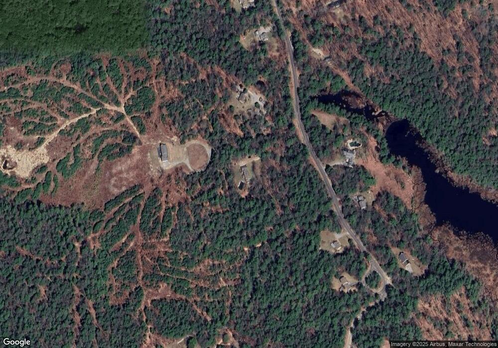
Map
Nearby Homes
- 215 General Miller Rd
- 78 Old Greenfield Rd
- 18 Colonial Square
- 77 Hancock Rd
- 42 Blueberry Ln
- 27 Trails Edge Commons
- 205 Southfield Ln
- 282 Carley Rd
- 311 Old Street Rd
- 21 Eastridge Dr
- 37 Ashlee Dr
- 206 Carley Rd
- 18 W Ridge Dr
- 13 Westridge Dr Unit 13
- 11 Woodmans Ln
- 39 Lucy Ln
- 8 Lucy Ln
- 37 Lucy Ln
- 47 Lucy Ln
- 49 Lucy Ln
- 240 General Miller Rd
- 190 General Miller Rd
- 205 General Miller Rd
- 254 General Miller Rd
- 245 General Miller Rd
- 186 General Miller Rd
- 264 General Miller Rd
- 265 General Miller Rd
- 40 Longview Dr
- 19 Longview Dr
- 275 General Miller Rd
- 6 Longview Dr
- 341 Old Greenfield Rd
- 278 General Miller Rd
- 182 General Miller Rd
- 1 Longview Dr
- 24 Longview Dr
- 329 Old Greenfield Rd
- 18 Longview Dr
- 395 Old Greenfield Rd