Estimated Value: $364,406 - $524,000
2
Beds
2
Baths
1,664
Sq Ft
$263/Sq Ft
Est. Value
About This Home
This home is located at 220 Gentry Ln, Tiger, GA 30576 and is currently estimated at $436,852, approximately $262 per square foot. 220 Gentry Ln is a home located in Rabun County with nearby schools including Rabun County Primary School and Rabun County High School.
Ownership History
Date
Name
Owned For
Owner Type
Purchase Details
Closed on
Mar 14, 2019
Sold by
Owens Robert Leslie
Bought by
Simmons Judy
Current Estimated Value
Home Financials for this Owner
Home Financials are based on the most recent Mortgage that was taken out on this home.
Original Mortgage
$192,000
Outstanding Balance
$168,457
Interest Rate
4.3%
Mortgage Type
New Conventional
Estimated Equity
$268,395
Purchase Details
Closed on
Nov 1, 2007
Sold by
Not Provided
Bought by
Owens Robert L and Owens Denise B
Create a Home Valuation Report for This Property
The Home Valuation Report is an in-depth analysis detailing your home's value as well as a comparison with similar homes in the area
Home Values in the Area
Average Home Value in this Area
Purchase History
| Date | Buyer | Sale Price | Title Company |
|---|---|---|---|
| Simmons Judy | $240,000 | -- | |
| Simmons Judy | $240,000 | -- | |
| Owens Robert L | $242,000 | -- | |
| Owens Robert L | $242,000 | -- |
Source: Public Records
Mortgage History
| Date | Status | Borrower | Loan Amount |
|---|---|---|---|
| Open | Simmons Judy | $192,000 | |
| Closed | Simmons Judy | $192,000 |
Source: Public Records
Tax History Compared to Growth
Tax History
| Year | Tax Paid | Tax Assessment Tax Assessment Total Assessment is a certain percentage of the fair market value that is determined by local assessors to be the total taxable value of land and additions on the property. | Land | Improvement |
|---|---|---|---|---|
| 2024 | $1,813 | $114,988 | $14,000 | $100,988 |
| 2023 | $1,895 | $105,530 | $14,000 | $91,530 |
| 2022 | $1,843 | $102,682 | $14,000 | $88,682 |
| 2021 | $1,733 | $94,439 | $14,000 | $80,439 |
| 2020 | $1,740 | $91,719 | $14,000 | $77,719 |
| 2019 | $1,900 | $97,270 | $14,000 | $83,270 |
| 2018 | $1,699 | $88,683 | $16,800 | $71,883 |
| 2017 | $1,630 | $88,683 | $16,800 | $71,883 |
| 2016 | $1,634 | $88,683 | $16,800 | $71,883 |
| 2015 | $1,649 | $87,616 | $16,800 | $70,816 |
| 2014 | $1,696 | $87,616 | $16,800 | $70,816 |
Source: Public Records
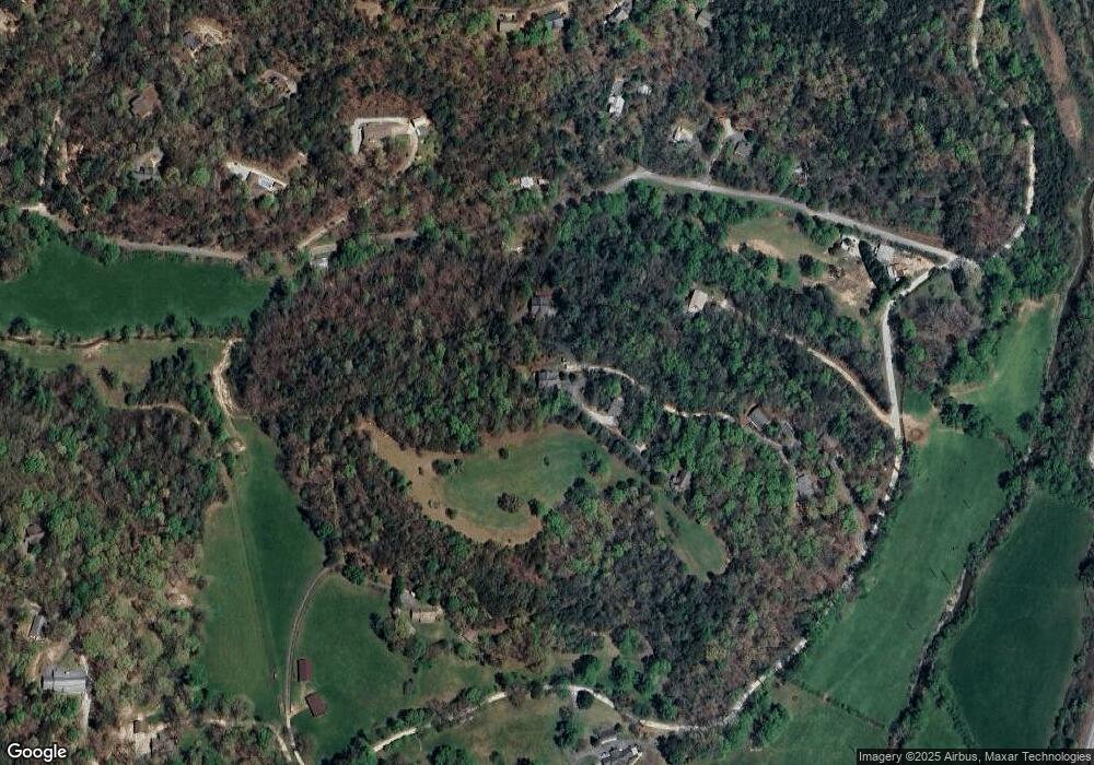
Map
Nearby Homes
- 39 Antebellum Ln Unit 101
- 445 Joe Davis Rd
- 0 Seed Tick Rd Unit 412718
- 172 Fred Henry Ln
- 9 Golf Dr
- 5 W Pinecrest Dr
- 0 Jericho Ln Unit 10498084
- 0 Woodall Rd
- 407 Hillside Dr
- 893 Old 441 S
- 7 Dry Pond Dr
- 335 S Main St
- 112 Clayton Dr
- 508 Sterrett Rd
- 276 Dunlap St
- 488 Northridge
- 66 Post Oak St
- 4528 Highway 76 W
- 15 Post Oak St
- 0 Toole St Unit 10538991
- 220 Gentry Ln Unit c2
- 211 Gentry Ln
- 211 Gentry Ln Unit B
- 188 Gentry Ln Unit C1
- 188 Gentry Ln
- 39 Antebellum Ln Unit 103
- 39 Antebellum Ln Unit 102
- 938 Joe Davis Rd
- 840 Joe Davis Rd
- 209 Gentry Ln
- 876 Ice Plant Rd
- 939 Joe Davis Rd
- 80 Gentry Ln
- 136 Gentry Ln
- 221 Gentry Ln
- 0 Big View Ln Unit 3B 3135334
- 0 Big View Ln Unit 3206509
- 0 Big View Ln Unit LOT 3B 7011322
- 0 Big View Ln Unit LOT 3B 7207472
- 0 Big View Ln Unit 2999723