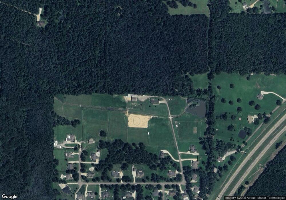
220 Kitty Hawk Cir Brandon, MS 39047
Estimated Value: $332,000 - $498,000
3
Beds
2
Baths
2,393
Sq Ft
$182/Sq Ft
Est. Value
About This Home
This home is located at 220 Kitty Hawk Cir, Brandon, MS 39047 and is currently estimated at $435,333, approximately $181 per square foot. 220 Kitty Hawk Cir is a home with nearby schools including Oakdale Elementary School, Northwest Rankin Middle School, and Northwest Rankin High School.
Ownership History
Date
Name
Owned For
Owner Type
Purchase Details
Closed on
Jun 14, 2021
Sold by
Sanders Barbara
Bought by
Sanders Scott Morgan and Sanders Hillary Nichole
Current Estimated Value
Purchase Details
Closed on
Jun 14, 2020
Sold by
Sanders Barbara and Sanders Sandy
Bought by
Sanders Scott M and Sanders Hillary N
Purchase Details
Closed on
Feb 10, 2012
Sold by
Nfps Llc Successor By Conversion With
Bought by
Sanders Barbara M
Create a Home Valuation Report for This Property
The Home Valuation Report is an in-depth analysis detailing your home's value as well as a comparison with similar homes in the area
Purchase History
| Date | Buyer | Sale Price | Title Company |
|---|---|---|---|
| Sanders Scott Morgan | -- | Youngblood Frank M | |
| Sanders Scott M | -- | None Available | |
| Sanders Barbara M | -- | Title & Escrow Services, Inc |
Source: Public Records
Tax History
| Year | Tax Paid | Tax Assessment Tax Assessment Total Assessment is a certain percentage of the fair market value that is determined by local assessors to be the total taxable value of land and additions on the property. | Land | Improvement |
|---|---|---|---|---|
| 2024 | $2,174 | $22,972 | $0 | $0 |
| 2023 | $1,196 | $21,982 | $0 | $0 |
| 2022 | $1,180 | $21,987 | $0 | $0 |
| 2021 | $1,186 | $20,776 | $0 | $0 |
| 2020 | $1,187 | $20,780 | $0 | $0 |
| 2019 | $1,181 | $18,345 | $0 | $0 |
| 2018 | $1,160 | $18,345 | $0 | $0 |
| 2017 | $1,161 | $18,349 | $0 | $0 |
| 2016 | $856 | $16,710 | $0 | $0 |
| 2015 | $1,253 | $16,699 | $0 | $0 |
| 2014 | $730 | $16,707 | $0 | $0 |
| 2013 | $961 | $10,578 | $0 | $0 |
Source: Public Records
Map
Nearby Homes
- 234 Lost Oak Ln
- 0 Stull Rd Unit 24042681
- 130 Horseshoe Cir
- 102 Horseshoe Cir
- Lot 11 Mount Helm Rd
- Lot 10 Mount Helm Rd
- 5 Mount Helm Rd
- Lot 9 Mount Helm Rd
- Lot 6 Mount Helm Rd
- Lot 7 Mount Helm Rd
- Lot 8 Mount Helm Rd
- 547 Clark Stables Rd
- 551 Clark Stables Rd
- 0 Mount Helm Rd Unit 4124967
- 117 Hollybush Place
- 2713 Highway 471
- Lot 94 Freedom Farms Crossing
- 108 Holly Bush Rd
- 114 Hollybush Place
- 108 Holly Bush Place
- 213 Kitty Hawk Cir
- 210 Kitty Hawk Cir
- 300 Kitty Hawk Cir
- 304 Kitty Hawk Cir Unit 3 & 4
- 304 Kitty Hawk Cir
- 206 Kitty Hawk Cir
- 3 Kitty Hawk Cir
- 24 Kitty Hawk Cir Unit 24
- 2 Kitty Hawk Cir Unit 19
- 100 Kitty Hawk Cir
- 2 Kitty Hawk Cir Unit 2
- 2 Kitty Hawk Cir
- 24 Kitty Hawk Cir
- 156 Creek Dr
- 101 Kitty Hawk Cir
- 2223 Kitty Hawk Cir Unit 22 & 23
- 2021 Kitty Hawk Cir Unit 20 & 21
- 2021 Kitty Hawk Cir
- 2223 Kitty Hawk Cir
- 306 Kitty Hawk Cir
