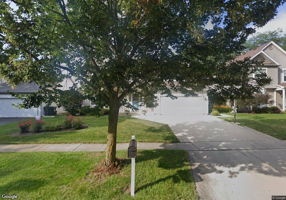
220 Knightsbridge Dr Mundelein, IL 60060
Cambridge Chase NeighborhoodEstimated Value: $445,000 - $494,000
--
Bed
3
Baths
2,239
Sq Ft
$210/Sq Ft
Est. Value
About This Home
This home is located at 220 Knightsbridge Dr, Mundelein, IL 60060 and is currently estimated at $469,692, approximately $209 per square foot. 220 Knightsbridge Dr is a home located in Lake County with nearby schools including Hawthorn Elementary School North, Hawthorn School Of Dual Language, and Hawthorn Middle School North.
Ownership History
Date
Name
Owned For
Owner Type
Purchase Details
Closed on
Jun 20, 2025
Sold by
Pesola Family Trust and Pesola Rocco A
Bought by
Gayle L Pesola Revocable Living Trust and Pesola
Current Estimated Value
Purchase Details
Closed on
Jun 15, 2016
Sold by
Pesola Rocco A and Pesola Gayle L
Bought by
The Pesola Family Trust
Create a Home Valuation Report for This Property
The Home Valuation Report is an in-depth analysis detailing your home's value as well as a comparison with similar homes in the area
Home Values in the Area
Average Home Value in this Area
Purchase History
| Date | Buyer | Sale Price | Title Company |
|---|---|---|---|
| Gayle L Pesola Revocable Living Trust | -- | None Listed On Document | |
| The Pesola Family Trust | -- | Attorney |
Source: Public Records
Tax History Compared to Growth
Tax History
| Year | Tax Paid | Tax Assessment Tax Assessment Total Assessment is a certain percentage of the fair market value that is determined by local assessors to be the total taxable value of land and additions on the property. | Land | Improvement |
|---|---|---|---|---|
| 2024 | $12,033 | $137,062 | $28,162 | $108,900 |
| 2023 | $11,046 | $126,418 | $25,975 | $100,443 |
| 2022 | $11,046 | $114,437 | $24,965 | $89,472 |
| 2021 | $10,614 | $111,974 | $24,428 | $87,546 |
| 2020 | $10,320 | $110,091 | $24,017 | $86,074 |
| 2019 | $10,090 | $109,045 | $23,789 | $85,256 |
| 2018 | $9,692 | $105,987 | $22,832 | $83,155 |
| 2017 | $9,548 | $102,641 | $22,111 | $80,530 |
| 2016 | $9,061 | $97,317 | $20,964 | $76,353 |
| 2015 | $8,837 | $90,959 | $19,594 | $71,365 |
| 2014 | $8,186 | $82,941 | $17,918 | $65,023 |
| 2012 | $7,958 | $83,660 | $18,073 | $65,587 |
Source: Public Records
Map
Nearby Homes
- 1255 Huntington Dr
- 31 Washington Blvd Unit 108
- 1726 Shoal Creek Terrace
- 49 N Shaddle Ave
- 1688 Saint Andrew Dr
- 422 Shadow Creek Dr
- 215 Brice Ave
- 1290 Butterfield Rd
- 701 Thomas Ct
- 841 Wilcox St
- 640 Allanson Rd
- 2245 Hazeltime Dr
- 328 Brice Ave
- 1654 Pebble Beach Way
- 900 S Butterfield Rd
- 510 S Hickory St
- 422 James Ave
- 847 Mckinley Ave
- 1969 Royal Birkdale Dr
- 433 E High St
- 216 Knightsbridge Dr
- 224 Knightsbridge Dr
- 30 S Bristol Ct
- 212 Knightsbridge Dr
- 228 Knightsbridge Dr
- 1317 Huntington Dr
- 27 S Bristol Ct
- 26 S Bristol Ct
- 241 Knightsbridge Dr
- 1321 Huntington Dr Unit 3
- 237 Knightsbridge Dr
- 245 Knightsbridge Dr
- 208 Knightsbridge Dr
- 233 Knightsbridge Dr
- 249 Knightsbridge Dr
- 1325 Huntington Dr
- 229 Knightsbridge Dr
- 23 S Bristol Ct
- 22 S Bristol Ct
- 204 Knightsbridge Dr