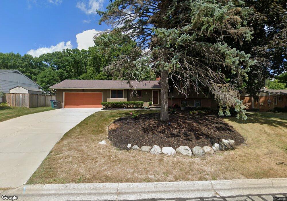
220 Loree Dr East Lansing, MI 48823
Estimated Value: $312,000 - $345,286
3
Beds
2
Baths
1,831
Sq Ft
$179/Sq Ft
Est. Value
About This Home
This home is located at 220 Loree Dr, East Lansing, MI 48823 and is currently estimated at $327,572, approximately $178 per square foot. 220 Loree Dr is a home located in Ingham County with nearby schools including Green Elementary School, MacDonald Middle School, and East Lansing High School.
Ownership History
Date
Name
Owned For
Owner Type
Purchase Details
Closed on
Dec 20, 2003
Sold by
Muirhead Steffany M and Moore Donald
Bought by
Collins Ware
Current Estimated Value
Home Financials for this Owner
Home Financials are based on the most recent Mortgage that was taken out on this home.
Original Mortgage
$148,000
Outstanding Balance
$61,291
Interest Rate
4.37%
Mortgage Type
Purchase Money Mortgage
Estimated Equity
$266,281
Purchase Details
Closed on
Apr 6, 1999
Sold by
Muth Thomas A and Muth Martha J
Bought by
Muirhead Steffany M and Moore Donald Moore
Home Financials for this Owner
Home Financials are based on the most recent Mortgage that was taken out on this home.
Original Mortgage
$138,700
Interest Rate
6.94%
Mortgage Type
Purchase Money Mortgage
Purchase Details
Closed on
Nov 1, 1986
Create a Home Valuation Report for This Property
The Home Valuation Report is an in-depth analysis detailing your home's value as well as a comparison with similar homes in the area
Home Values in the Area
Average Home Value in this Area
Purchase History
| Date | Buyer | Sale Price | Title Company |
|---|---|---|---|
| Collins Ware | $185,000 | Citizens Title Services | |
| Muirhead Steffany M | $146,000 | Midstate Title Company | |
| -- | $85,500 | -- |
Source: Public Records
Mortgage History
| Date | Status | Borrower | Loan Amount |
|---|---|---|---|
| Open | Collins Ware | $148,000 | |
| Previous Owner | Muirhead Steffany M | $138,700 |
Source: Public Records
Tax History Compared to Growth
Tax History
| Year | Tax Paid | Tax Assessment Tax Assessment Total Assessment is a certain percentage of the fair market value that is determined by local assessors to be the total taxable value of land and additions on the property. | Land | Improvement |
|---|---|---|---|---|
| 2025 | $5,020 | $157,200 | $35,000 | $122,200 |
| 2024 | $4,688 | $146,700 | $32,500 | $114,200 |
| 2023 | $4,688 | $130,400 | $28,100 | $102,300 |
| 2022 | $4,492 | $116,700 | $24,000 | $92,700 |
| 2021 | $4,415 | $108,500 | $22,900 | $85,600 |
| 2020 | $4,366 | $99,300 | $22,900 | $76,400 |
| 2019 | $4,188 | $92,600 | $24,800 | $67,800 |
| 2018 | $4,579 | $86,400 | $21,700 | $64,700 |
| 2017 | $4,396 | $86,300 | $21,900 | $64,400 |
| 2016 | -- | $81,900 | $21,900 | $60,000 |
| 2015 | -- | $77,600 | $40,829 | $36,771 |
| 2014 | -- | $70,900 | $37,912 | $32,988 |
Source: Public Records
Map
Nearby Homes
- 404 Gainsborough Dr
- 523 Bainbridge Dr Unit 37
- 338 W Saginaw St Unit 48
- 1412 N Harrison Rd
- 407 Walbridge Dr
- 1968 Rutgers Cir
- 408 Whitehills Dr
- 421 W Lake Lansing Rd
- 1522 Hitching Post Rd
- 732 Tarleton Ave
- 904 Sunset Ln
- 524 W Lake Lansing Rd
- 953 Rosewood Ave
- 1609 Gilcrest Ave
- 2341 N Harrison Rd
- 815 Westlawn Ave
- 6031 Rutherford Ave
- 753 E Saginaw St
- 992 Touraine Ave
- 1283 Chartwell Carriage Way N
- 212 Loree Dr
- 1504 Columbine Dr
- 241 Abbott Woods Dr Unit 13
- 233 Abbott Woods Dr Unit 12
- 1514 Columbine Dr
- 225 Abbott Woods Dr Unit 11
- 204 Loree Dr
- 223 Loree Dr Unit Bldg-Unit
- 223 Loree Dr
- 1524 Columbine Dr
- 217 Loree Dr
- 231 Loree Dr
- 242 Abbott Woods Dr
- 217 Abbott Woods Dr Unit 10
- 211 Loree Dr
- 236 Abbott Woods Dr Unit 15
- 140 Loree Dr
- 1505 Columbine Dr
- 1515 Columbine Dr
- 209 Abbott Woods Dr