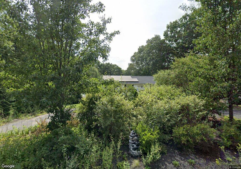
220 Lower Gore Rd Webster, MA 01570
Estimated Value: $464,000 - $548,000
3
Beds
2
Baths
2,141
Sq Ft
$236/Sq Ft
Est. Value
About This Home
This home is located at 220 Lower Gore Rd, Webster, MA 01570 and is currently estimated at $504,277, approximately $235 per square foot. 220 Lower Gore Rd is a home located in Worcester County with nearby schools including Park Avenue Elementary School, Webster Middle School, and Bartlett High School.
Ownership History
Date
Name
Owned For
Owner Type
Purchase Details
Closed on
Nov 4, 2020
Sold by
Wentworth Douglas
Bought by
Gain Andrew and Slocomb Nicole
Current Estimated Value
Home Financials for this Owner
Home Financials are based on the most recent Mortgage that was taken out on this home.
Original Mortgage
$319,113
Outstanding Balance
$282,666
Interest Rate
2.8%
Mortgage Type
FHA
Estimated Equity
$221,611
Purchase Details
Closed on
Aug 23, 1993
Sold by
Murray Dennis F and Murray Denise B
Bought by
Wentworth Douglas E and Cusson Leanne
Home Financials for this Owner
Home Financials are based on the most recent Mortgage that was taken out on this home.
Original Mortgage
$100,000
Interest Rate
7.11%
Mortgage Type
Purchase Money Mortgage
Create a Home Valuation Report for This Property
The Home Valuation Report is an in-depth analysis detailing your home's value as well as a comparison with similar homes in the area
Home Values in the Area
Average Home Value in this Area
Purchase History
We collect this data history from publicly available records. To have your information removed, we recommend requesting removal directly through your county’s website.
| Date | Buyer | Sale Price | Title Company |
|---|---|---|---|
| Gain Andrew | $330,000 | None Available | |
| Wentworth Douglas E | $115,000 | -- |
Source: Public Records
Mortgage History
We collect this data history from publicly available records. To have your information removed, we recommend requesting removal directly through your county’s website.
| Date | Status | Borrower | Loan Amount |
|---|---|---|---|
| Open | Gain Andrew | $319,113 | |
| Previous Owner | Wentworth Douglas E | $194,000 | |
| Previous Owner | Wentworth Douglas E | $100,000 | |
| Previous Owner | Wentworth Douglas E | $20,000 | |
| Previous Owner | Wentworth Douglas E | $100,000 |
Source: Public Records
Tax History
| Year | Tax Paid | Tax Assessment Tax Assessment Total Assessment is a certain percentage of the fair market value that is determined by local assessors to be the total taxable value of land and additions on the property. | Land | Improvement |
|---|---|---|---|---|
| 2025 | $4,735 | $398,600 | $73,600 | $325,000 |
| 2024 | $4,670 | $383,400 | $70,800 | $312,600 |
| 2023 | $4,318 | $345,400 | $67,400 | $278,000 |
| 2022 | $4,307 | $308,500 | $65,500 | $243,000 |
| 2021 | $4,036 | $267,300 | $65,500 | $201,800 |
| 2020 | $3,902 | $259,100 | $65,500 | $193,600 |
| 2019 | $3,649 | $238,000 | $65,900 | $172,100 |
| 2018 | $3,506 | $227,800 | $65,900 | $161,900 |
| 2017 | $3,264 | $215,700 | $64,500 | $151,200 |
| 2016 | $3,120 | $206,100 | $61,600 | $144,500 |
| 2015 | $2,892 | $197,000 | $60,300 | $136,700 |
Source: Public Records
Map
Nearby Homes
- 218 Lower Gore Rd
- 222 Lower Gore Rd
- 219 Lower Gore Rd
- 217 Lower Gore Rd
- 224 Lower Gore Rd
- 216 Lower Gore Rd
- 214 Lower Gore Rd
- 2 Hilltop Dr
- 215 Lower Gore Rd
- 212 Lower Gore Rd
- 210 Lower Gore Rd
- 78 High St
- 7 Hilltop Dr
- 6 Hilltop Dr
- 87 High St
- 10 Hilltop Dr
- 208 Lower Gore Rd
- 11 Hilltop Dr
- 4 Longview Ave
- 209 Lower Gore Rd
Your Personal Tour Guide
Ask me questions while you tour the home.