220 Manning Hill Rd Winchester, NH 03470
Estimated Value: $327,000 - $467,000
2
Beds
1
Bath
1,260
Sq Ft
$311/Sq Ft
Est. Value
About This Home
This home is located at 220 Manning Hill Rd, Winchester, NH 03470 and is currently estimated at $391,777, approximately $310 per square foot. 220 Manning Hill Rd is a home located in Cheshire County with nearby schools including Winchester School, Mayland Early College High School, and Keene High School.
Ownership History
Date
Name
Owned For
Owner Type
Purchase Details
Closed on
Jun 4, 2004
Sold by
Burt Russell J
Bought by
Campbell Ildage J and Campbell Deborah A
Current Estimated Value
Home Financials for this Owner
Home Financials are based on the most recent Mortgage that was taken out on this home.
Original Mortgage
$139,920
Outstanding Balance
$68,123
Interest Rate
5.94%
Mortgage Type
Purchase Money Mortgage
Estimated Equity
$323,654
Create a Home Valuation Report for This Property
The Home Valuation Report is an in-depth analysis detailing your home's value as well as a comparison with similar homes in the area
Home Values in the Area
Average Home Value in this Area
Purchase History
| Date | Buyer | Sale Price | Title Company |
|---|---|---|---|
| Campbell Ildage J | $174,900 | -- |
Source: Public Records
Mortgage History
| Date | Status | Borrower | Loan Amount |
|---|---|---|---|
| Open | Campbell Ildage J | $139,920 |
Source: Public Records
Tax History Compared to Growth
Tax History
| Year | Tax Paid | Tax Assessment Tax Assessment Total Assessment is a certain percentage of the fair market value that is determined by local assessors to be the total taxable value of land and additions on the property. | Land | Improvement |
|---|---|---|---|---|
| 2024 | $7,984 | $272,973 | $51,673 | $221,300 |
| 2023 | $8,651 | $273,060 | $51,760 | $221,300 |
| 2022 | $6,665 | $232,235 | $51,935 | $180,300 |
| 2021 | $7,385 | $232,304 | $52,004 | $180,300 |
| 2020 | $6,474 | $225,029 | $52,029 | $173,000 |
| 2019 | $5,635 | $158,110 | $30,410 | $127,700 |
| 2018 | $22,316 | $158,042 | $30,342 | $127,700 |
| 2016 | $4,677 | $153,199 | $30,199 | $123,000 |
| 2015 | $4,679 | $153,021 | $30,021 | $123,000 |
| 2014 | $4,801 | $157,003 | $30,103 | $126,900 |
| 2013 | $4,824 | $156,968 | $34,268 | $122,700 |
Source: Public Records
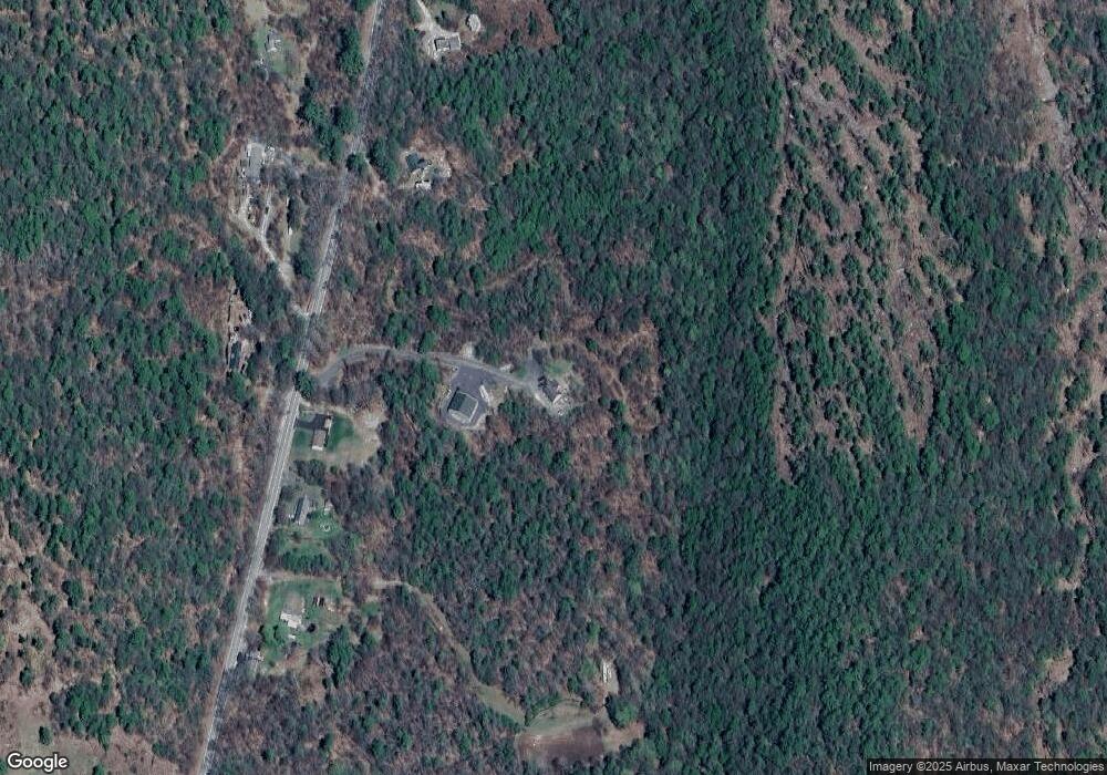
Map
Nearby Homes
- 111 Warwick Rd
- 19 Back Ashuelot Rd
- 153 Back Ashuelot Rd
- 0 Old Tipping Rock Rd Unit 34
- 339 Burt Hill Rd
- 56 Ashuelot St
- 50 Parker St
- 100 Main St
- 143 Richmond Rd
- Map 6 Lot 15-1 Off Opportunity Dr Unit 15-1
- Map 6 Lot 15-5 Off Opportunity Dr
- 49 Scotland Rd
- 9 Scotland Rd
- 9 Scotland Rd
- 12 Miner Ct
- 21 Clark Rd
- 82 Howard St
- 406 Back Ashuelot Rd
- 240 Forest Lake Rd
- 7 Lake Shore Dr
- 236 Manning Hill Rd
- 204 Manning Hill Rd
- 240 Manning Hill Rd
- 225 Manning Hill Rd
- 254 Manning Hill Rd
- 190 Manning Hill Rd
- 297 New Hampshire 10
- 203 Manning Hill Rd
- 264 Manning Hill Rd
- 169 Manning Hill Rd
- 15 Upper Snow Rd
- 279 Manning Hill Rd
- 158 Manning Hill Rd
- 0 Upper Snow Rd
- 155 Manning Hill Rd
- 295 Manning Hill Rd
- 14 Curtis Rd
- 34 Curtis Rd
- 48 Curtis Rd
- 297 Manning Hill Rd