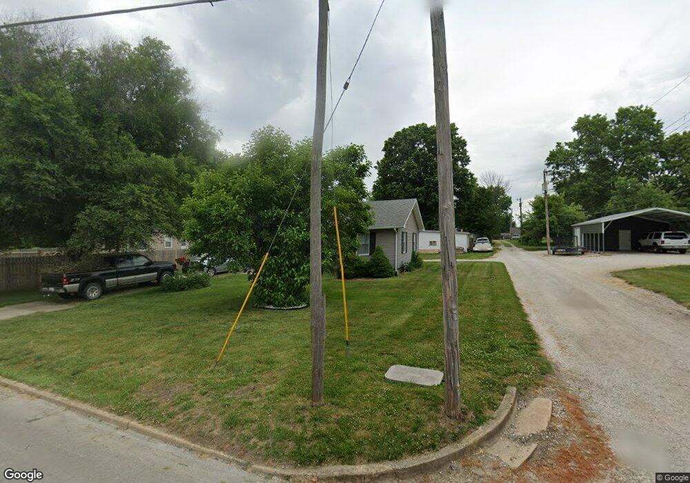
220 Maple St Brookfield, MO 64628
Estimated Value: $107,000 - $151,601
3
Beds
1
Bath
1,008
Sq Ft
$132/Sq Ft
Est. Value
About This Home
This home is located at 220 Maple St, Brookfield, MO 64628 and is currently estimated at $133,400, approximately $132 per square foot. 220 Maple St is a home with nearby schools including Brookfield Elementary School, Brookfield Middle School, and Brookfield High School.
Ownership History
Date
Name
Owned For
Owner Type
Purchase Details
Closed on
Dec 9, 2016
Sold by
Pointon Joseph B and Pointon Barbara J
Bought by
Moser Melinda S and Moser James D
Current Estimated Value
Home Financials for this Owner
Home Financials are based on the most recent Mortgage that was taken out on this home.
Original Mortgage
$60,385
Outstanding Balance
$49,585
Interest Rate
4.25%
Mortgage Type
FHA
Estimated Equity
$83,815
Purchase Details
Closed on
Dec 20, 2007
Bought by
Pointon Joseph B and Pointon Barbara J
Create a Home Valuation Report for This Property
The Home Valuation Report is an in-depth analysis detailing your home's value as well as a comparison with similar homes in the area
Home Values in the Area
Average Home Value in this Area
Purchase History
| Date | Buyer | Sale Price | Title Company |
|---|---|---|---|
| Moser Melinda S | $60,988 | Monarch Title Co Inc | |
| Pointon Joseph B | $61,800 | -- |
Source: Public Records
Mortgage History
| Date | Status | Borrower | Loan Amount |
|---|---|---|---|
| Open | Moser Melinda S | $60,385 |
Source: Public Records
Tax History
| Year | Tax Paid | Tax Assessment Tax Assessment Total Assessment is a certain percentage of the fair market value that is determined by local assessors to be the total taxable value of land and additions on the property. | Land | Improvement |
|---|---|---|---|---|
| 2025 | $707 | $11,782 | $1,387 | $10,395 |
| 2024 | $7 | $11,286 | $1,387 | $9,899 |
| 2023 | $704 | $11,286 | $1,387 | $9,899 |
| 2022 | $676 | $10,792 | $1,387 | $9,405 |
| 2021 | $652 | $10,792 | $1,387 | $9,405 |
| 2020 | $677 | $10,792 | $1,387 | $9,405 |
| 2019 | $677 | $10,792 | $1,387 | $9,405 |
| 2018 | $665 | $10,640 | $1,729 | $8,911 |
| 2015 | -- | $10,526 | $1,539 | $8,987 |
| 2011 | -- | $55,300 | $8,000 | $47,300 |
Source: Public Records
Map
Nearby Homes
- 1118 Courtland St
- 125 Maple St
- 1002 N State St
- 420 Mcgowan St
- 119 W Dake St
- 627 Mcgowan St
- 420 Smith St
- 1007 Country Side Dr
- 721 Lincoln St
- 431 Peck St
- 417 Laclede Ave
- 316 Macon St
- 317 Macon St
- 303 Shelby St
- 117 N Main St
- 0 W Wood St
- 25972 County Road M
- 117 E Clark St
- 415 S Livingston St
- 304 E Canal St
- 1202 N State St
- 1206 N State St
- 1203 Courtland St
- 215 Maple St
- 1210 N State St
- 1211 Courtland St
- 1201 N State St
- 201 Maple St
- 1205 N State St
- 1214 N State St
- 1231 Courtland St
- 1112 Brookfield Ave
- 1110 N State St
- 1209 N State St
- 1212 Courtland St
- 1110 Brookfield Ave
- 122 Maple St
- 1216 Courtland St
- 1211 N State St
- 1218 Courtland St
Your Personal Tour Guide
Ask me questions while you tour the home.