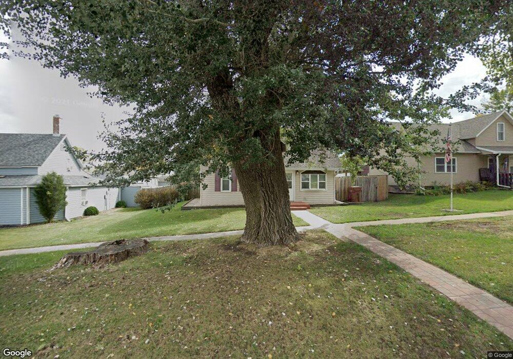
220 N East St Carroll, IA 51401
Estimated Value: $126,000 - $174,000
4
Beds
1
Bath
1,206
Sq Ft
$120/Sq Ft
Est. Value
About This Home
This home is located at 220 N East St, Carroll, IA 51401 and is currently estimated at $144,202, approximately $119 per square foot. 220 N East St is a home located in Carroll County with nearby schools including Fairview Elementary School, Adams Elementary School, and Carroll Middle School.
Ownership History
Date
Name
Owned For
Owner Type
Purchase Details
Closed on
Nov 4, 2020
Sold by
Koppman Elisha M
Bought by
Stone Jon-Paul K
Current Estimated Value
Home Financials for this Owner
Home Financials are based on the most recent Mortgage that was taken out on this home.
Original Mortgage
$95,959
Outstanding Balance
$85,390
Interest Rate
2.8%
Mortgage Type
New Conventional
Estimated Equity
$58,812
Purchase Details
Closed on
Jun 10, 2014
Sold by
Egeland Christopher L
Bought by
Koppman Elisha M
Home Financials for this Owner
Home Financials are based on the most recent Mortgage that was taken out on this home.
Original Mortgage
$86,734
Interest Rate
4.28%
Mortgage Type
New Conventional
Create a Home Valuation Report for This Property
The Home Valuation Report is an in-depth analysis detailing your home's value as well as a comparison with similar homes in the area
Home Values in the Area
Average Home Value in this Area
Purchase History
| Date | Buyer | Sale Price | Title Company |
|---|---|---|---|
| Stone Jon-Paul K | $95,000 | Security Title | |
| Koppman Elisha M | $85,000 | Security Title & Investment |
Source: Public Records
Mortgage History
| Date | Status | Borrower | Loan Amount |
|---|---|---|---|
| Open | Stone Jon-Paul K | $95,959 | |
| Previous Owner | Koppman Elisha M | $86,734 |
Source: Public Records
Tax History Compared to Growth
Tax History
| Year | Tax Paid | Tax Assessment Tax Assessment Total Assessment is a certain percentage of the fair market value that is determined by local assessors to be the total taxable value of land and additions on the property. | Land | Improvement |
|---|---|---|---|---|
| 2025 | $1,388 | $122,470 | $18,330 | $104,140 |
| 2024 | $1,388 | $108,020 | $18,330 | $89,690 |
| 2023 | $1,253 | $108,020 | $18,330 | $89,690 |
| 2022 | $1,186 | $81,860 | $20,000 | $61,860 |
| 2021 | $1,186 | $81,860 | $20,000 | $61,860 |
| 2020 | $1,090 | $81,860 | $20,000 | $61,860 |
| 2019 | $1,062 | $81,860 | $20,000 | $61,860 |
| 2018 | $996 | $81,860 | $20,000 | $61,860 |
| 2017 | $996 | $78,303 | $12,487 | $65,816 |
| 2016 | $922 | $73,180 | $0 | $0 |
| 2015 | $922 | $59,730 | $0 | $0 |
| 2014 | $722 | $59,730 | $0 | $0 |
Source: Public Records
Map
Nearby Homes
- 110 N Maple St
- 519 E 1st St
- 120 E 1st St Unit 2
- 804 N Clark St
- 807 N Court St
- 19383 U S 30
- 502 S Walnut St
- 409 E Valley Dr
- 332 N Crawford St
- 926 N Court St
- 544 S Main St
- 1026 N Clark St
- 323 Prairie View Dr
- 0 Deer Creek Ln Unit 6302348
- 619 W 2nd St
- 1015 N Adams St
- 1102 N Main St
- 138 Timberline Rd
- 1108 N Main St
- 903 Amy Cir