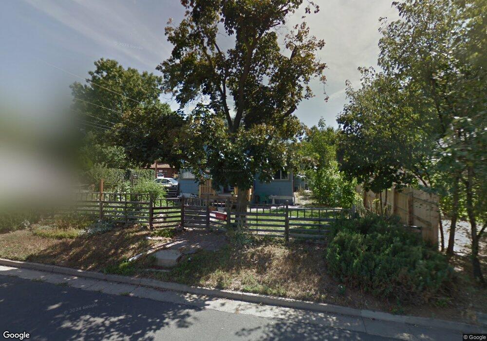
220 N Franklin Ave Loveland, CO 80537
Estimated Value: $493,849 - $554,000
3
Beds
2
Baths
1,360
Sq Ft
$392/Sq Ft
Est. Value
About This Home
This home is located at 220 N Franklin Ave, Loveland, CO 80537 and is currently estimated at $532,462, approximately $391 per square foot. 220 N Franklin Ave is a home located in Larimer County with nearby schools including Garfield Elementary School, Bill Reed Middle School, and Loveland High School.
Ownership History
Date
Name
Owned For
Owner Type
Purchase Details
Closed on
Oct 9, 2025
Sold by
Howard Mark L
Bought by
Mark L Howard Family Trust and Howard
Current Estimated Value
Purchase Details
Closed on
Sep 16, 2021
Sold by
Howard Mark L
Bought by
Howard Mark L and Howard Keith Adam
Purchase Details
Closed on
Jun 7, 1999
Sold by
Howard A Waller
Bought by
Howard Mark L
Home Financials for this Owner
Home Financials are based on the most recent Mortgage that was taken out on this home.
Original Mortgage
$61,022
Interest Rate
7.21%
Mortgage Type
Purchase Money Mortgage
Purchase Details
Closed on
Feb 1, 1990
Bought by
Howard Mark L and Howard Waller A
Create a Home Valuation Report for This Property
The Home Valuation Report is an in-depth analysis detailing your home's value as well as a comparison with similar homes in the area
Home Values in the Area
Average Home Value in this Area
Purchase History
| Date | Buyer | Sale Price | Title Company |
|---|---|---|---|
| Howard Mark L | -- | None Listed On Document | |
| Howard Mark L | -- | -- | |
| Howard Mark L | $48,000 | -- |
Source: Public Records
Mortgage History
| Date | Status | Borrower | Loan Amount |
|---|---|---|---|
| Previous Owner | Howard Mark L | $61,022 |
Source: Public Records
Tax History Compared to Growth
Tax History
| Year | Tax Paid | Tax Assessment Tax Assessment Total Assessment is a certain percentage of the fair market value that is determined by local assessors to be the total taxable value of land and additions on the property. | Land | Improvement |
|---|---|---|---|---|
| 2025 | $2,066 | $36,274 | $3,015 | $33,259 |
| 2024 | $1,993 | $36,274 | $3,015 | $33,259 |
| 2022 | $1,618 | $27,279 | $3,128 | $24,151 |
| 2021 | $1,662 | $28,064 | $3,218 | $24,846 |
| 2020 | $1,376 | $24,454 | $3,218 | $21,236 |
| 2019 | $1,912 | $24,454 | $3,218 | $21,236 |
| 2018 | $1,938 | $23,551 | $3,240 | $20,311 |
| 2017 | $1,669 | $23,551 | $3,240 | $20,311 |
| 2016 | $1,350 | $18,411 | $3,582 | $14,829 |
| 2015 | $1,339 | $18,410 | $3,580 | $14,830 |
| 2014 | $1,075 | $14,290 | $3,580 | $10,710 |
Source: Public Records
Map
Nearby Homes
- 610 W 5th St
- 633 W 6th St
- 914 W 6th St
- 610 California Ave
- 680 Colorado Ave
- 721 Sheridan Ave
- 625 Harrison Ave
- 720 Roosevelt Ave
- 143 W 2nd St
- 604 W 9th St
- 1330 W 6th St
- 905 Harrison Ave
- 643 W 10th St
- 108 S Cleveland Ave
- 621 Split Rock Dr
- 205 E 6th St Unit 400
- 205 E 6th St Unit 302
- 205 E 6th St Unit 200
- 205 E 6th St Unit 205
- 205 E 6th St Unit 301