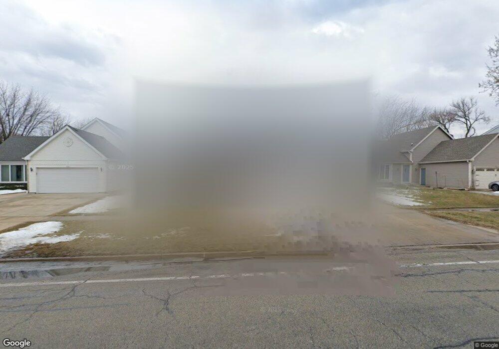
220 N Walnut Ln Schaumburg, IL 60194
West Schaumburg NeighborhoodEstimated Value: $455,240 - $507,000
4
Beds
2
Baths
1,764
Sq Ft
$271/Sq Ft
Est. Value
About This Home
This home is located at 220 N Walnut Ln, Schaumburg, IL 60194 and is currently estimated at $477,560, approximately $270 per square foot. 220 N Walnut Ln is a home located in Cook County with nearby schools including Elizabeth Blackwell Elementary School, Jane Addams Junior High School, and Schaumburg High School.
Ownership History
Date
Name
Owned For
Owner Type
Purchase Details
Closed on
Nov 11, 2018
Sold by
Neises Gary F and Neises Jeanne
Bought by
The Neises Family Joint Revocable Trust
Current Estimated Value
Purchase Details
Closed on
Apr 25, 1996
Sold by
Smith Paul E and Smith Donna L
Bought by
Neises Gary F and Neises Joanne
Home Financials for this Owner
Home Financials are based on the most recent Mortgage that was taken out on this home.
Original Mortgage
$120,000
Outstanding Balance
$6,750
Interest Rate
7.86%
Estimated Equity
$470,810
Create a Home Valuation Report for This Property
The Home Valuation Report is an in-depth analysis detailing your home's value as well as a comparison with similar homes in the area
Home Values in the Area
Average Home Value in this Area
Purchase History
| Date | Buyer | Sale Price | Title Company |
|---|---|---|---|
| The Neises Family Joint Revocable Trust | -- | None Available | |
| Neises Gary F | $179,000 | -- |
Source: Public Records
Mortgage History
| Date | Status | Borrower | Loan Amount |
|---|---|---|---|
| Open | Neises Gary F | $120,000 |
Source: Public Records
Tax History Compared to Growth
Tax History
| Year | Tax Paid | Tax Assessment Tax Assessment Total Assessment is a certain percentage of the fair market value that is determined by local assessors to be the total taxable value of land and additions on the property. | Land | Improvement |
|---|---|---|---|---|
| 2024 | $8,030 | $31,982 | $6,175 | $25,807 |
| 2023 | $7,807 | $32,159 | $6,175 | $25,984 |
| 2022 | $7,807 | $32,159 | $6,175 | $25,984 |
| 2021 | $7,511 | $28,110 | $4,225 | $23,885 |
| 2020 | $7,449 | $28,110 | $4,225 | $23,885 |
| 2019 | $8,010 | $33,313 | $4,225 | $29,088 |
| 2018 | $6,257 | $24,284 | $3,575 | $20,709 |
| 2017 | $7,078 | $27,336 | $3,575 | $23,761 |
| 2016 | $7,425 | $29,379 | $3,575 | $25,804 |
| 2015 | $6,250 | $23,514 | $3,087 | $20,427 |
| 2014 | $6,956 | $26,077 | $3,087 | $22,990 |
| 2013 | $6,760 | $26,077 | $3,087 | $22,990 |
Source: Public Records
Map
Nearby Homes
- 133 White Branch Ct S Unit 539
- 2317 Broadway Ln
- 78 N Walnut Ln
- 198 Camden Ct Unit Z2
- 2128 Hitching Post Ln
- 413 Linsey Ave
- 508 N Walnut Ln
- 307 Glasgow Ln Unit V2
- 205 Glasgow Ln Unit V1
- 2201 Brittany Ct Unit 20
- 2404 Baldwin Ct
- 155 Hastings Mill Rd
- 1939 Weston Ln
- 454 Willington Dr
- 136 Caryville Ln
- 10 Warwick Ct
- 8 Warwick Ct
- 2312 Hyde Ct
- 135 S Walnut Ln
- 20 Emerson Dr
- 228 N Walnut Ln
- 212 N Walnut Ln
- 2300 Pennsbury Ct
- 230 N Walnut Ln
- 204 N Walnut Ln
- 2304 Pennsbury Ct
- 2301 Pennsbury Ct
- 204 Continental Ln
- 2217 Romm Ct
- 244 N Walnut Ln
- 196 N Walnut Ln
- 2308 Pennsbury Ct
- 212 Continental Ln
- 2209 Romm Ct
- 2305 Pennsbury Ct
- 2301 Glengary Ct
- 2232 Holmes Way
- 181 Continental Ln
- 252 N Walnut Ln
- 188 N Walnut Ln