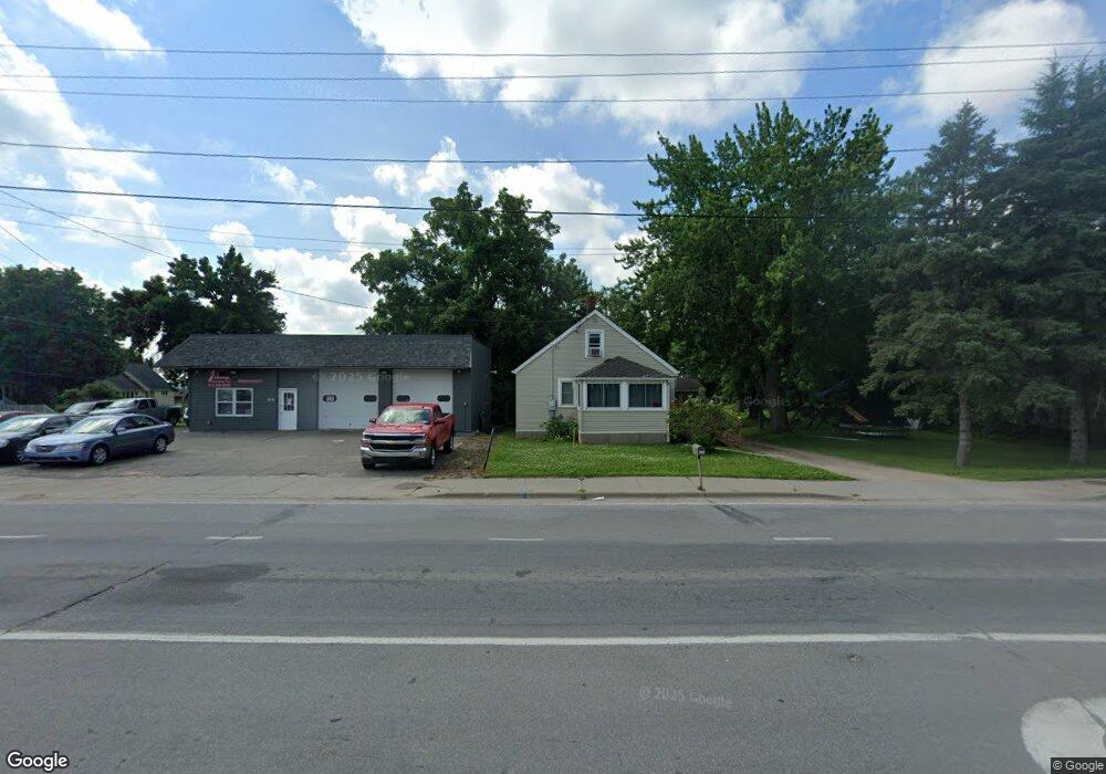
220 Nelson Blvd Montrose, MN 55363
Estimated Value: $228,000 - $273,000
3
Beds
1
Bath
886
Sq Ft
$282/Sq Ft
Est. Value
About This Home
This home is located at 220 Nelson Blvd, Montrose, MN 55363 and is currently estimated at $250,235, approximately $282 per square foot. 220 Nelson Blvd is a home located in Wright County with nearby schools including Montrose Elementary School, Buffalo Community Middle School, and Buffalo Senior High School.
Ownership History
Date
Name
Owned For
Owner Type
Purchase Details
Closed on
Apr 13, 2022
Sold by
Larson Connor and Holthaus Amanda
Bought by
Knutson Quintin
Current Estimated Value
Home Financials for this Owner
Home Financials are based on the most recent Mortgage that was taken out on this home.
Original Mortgage
$232,706
Outstanding Balance
$217,425
Interest Rate
3.76%
Mortgage Type
New Conventional
Estimated Equity
$32,810
Create a Home Valuation Report for This Property
The Home Valuation Report is an in-depth analysis detailing your home's value as well as a comparison with similar homes in the area
Home Values in the Area
Average Home Value in this Area
Purchase History
| Date | Buyer | Sale Price | Title Company |
|---|---|---|---|
| Knutson Quintin | $235,000 | -- |
Source: Public Records
Mortgage History
| Date | Status | Borrower | Loan Amount |
|---|---|---|---|
| Open | Knutson Quintin | $232,706 |
Source: Public Records
Tax History Compared to Growth
Tax History
| Year | Tax Paid | Tax Assessment Tax Assessment Total Assessment is a certain percentage of the fair market value that is determined by local assessors to be the total taxable value of land and additions on the property. | Land | Improvement |
|---|---|---|---|---|
| 2025 | $2,352 | $239,000 | $94,200 | $144,800 |
| 2024 | $2,296 | $204,400 | $67,800 | $136,600 |
| 2023 | $2,376 | $213,800 | $82,800 | $131,000 |
| 2022 | $2,132 | $203,800 | $83,200 | $120,600 |
| 2021 | $1,734 | $159,000 | $57,100 | $101,900 |
| 2020 | $1,740 | $130,200 | $39,000 | $91,200 |
| 2019 | $1,360 | $128,400 | $0 | $0 |
| 2018 | $1,192 | $81,400 | $0 | $0 |
| 2017 | $1,090 | $70,600 | $0 | $0 |
| 2016 | $1,054 | $0 | $0 | $0 |
| 2015 | $1,028 | $0 | $0 | $0 |
| 2014 | -- | $0 | $0 | $0 |
Source: Public Records
Map
Nearby Homes
- 301 Center Ave S
- 150 Pheasant Ridge Dr
- 517 2nd St S
- 137 Pheasant Ridge Dr
- 161 Mindy Ln Unit 9
- 305 Garfield Ave S
- 149 Mindy Ln
- 426 Dillon Ave N
- 1766 US Highway 12 SW
- 140 Garner Cir
- 151 Garner Cir
- 610 Emerson Ave N
- 684 Aspen Ln
- 683 Aspen Ln
- 685 Aspen Ln
- 726 7th St N
- 703 7th St N
- 687 Aspen Ln
- 689 Aspen Ln
- 690 Aspen Ln
- 411 Buffalo Ave S
- 210 U S 12
- 240 Nelson Blvd
- 421 Buffalo Ave S
- 246 Nelson Blvd
- 431 Buffalo Ave S
- 170 Nelson Blvd
- 420 Buffalo Ave S
- 430 Buffalo Ave S
- 451 Buffalo Ave S
- 440 Buffalo Ave S
- 333 Buffalo Ave S
- 150 Nelson Blvd
- 333 333 Buffalo-Avenue-s
- 461 Buffalo Ave S
- 270 Nelson Blvd
- 261 Nelson Blvd
- 450 Buffalo Ave S
- 350 Buffalo Ave S
- 280 Nelson Blvd