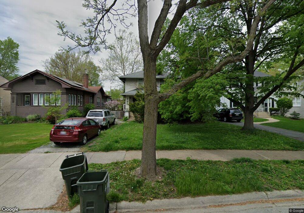
220 Olmsted Rd Riverside, IL 60546
Estimated Value: $583,000 - $657,000
4
Beds
2
Baths
2,043
Sq Ft
$310/Sq Ft
Est. Value
About This Home
This home is located at 220 Olmsted Rd, Riverside, IL 60546 and is currently estimated at $634,058, approximately $310 per square foot. 220 Olmsted Rd is a home located in Cook County with nearby schools including Central Elementary School, L J Hauser Jr High School, and Riverside Brookfield High School.
Ownership History
Date
Name
Owned For
Owner Type
Purchase Details
Closed on
Jun 9, 1997
Sold by
Declaration Lundberg Jeanne R
Bought by
Horst Theodore C and Porter Catherine D
Current Estimated Value
Home Financials for this Owner
Home Financials are based on the most recent Mortgage that was taken out on this home.
Original Mortgage
$206,400
Outstanding Balance
$25,989
Interest Rate
8.17%
Estimated Equity
$608,069
Create a Home Valuation Report for This Property
The Home Valuation Report is an in-depth analysis detailing your home's value as well as a comparison with similar homes in the area
Home Values in the Area
Average Home Value in this Area
Purchase History
| Date | Buyer | Sale Price | Title Company |
|---|---|---|---|
| Horst Theodore C | $258,000 | -- |
Source: Public Records
Mortgage History
| Date | Status | Borrower | Loan Amount |
|---|---|---|---|
| Open | Horst Theodore C | $206,400 |
Source: Public Records
Tax History
| Year | Tax Paid | Tax Assessment Tax Assessment Total Assessment is a certain percentage of the fair market value that is determined by local assessors to be the total taxable value of land and additions on the property. | Land | Improvement |
|---|---|---|---|---|
| 2025 | $14,935 | $50,000 | $9,933 | $40,067 |
| 2024 | $14,935 | $50,000 | $9,933 | $40,067 |
| 2023 | $15,353 | $50,000 | $9,933 | $40,067 |
| 2022 | $15,353 | $43,504 | $8,691 | $34,813 |
| 2021 | $14,785 | $43,503 | $8,691 | $34,812 |
| 2020 | $14,382 | $43,503 | $8,691 | $34,812 |
| 2019 | $13,538 | $41,895 | $7,946 | $33,949 |
| 2018 | $13,139 | $41,895 | $7,946 | $33,949 |
| 2017 | $12,733 | $41,895 | $7,946 | $33,949 |
| 2016 | $11,628 | $35,515 | $6,953 | $28,562 |
| 2015 | $11,318 | $35,515 | $6,953 | $28,562 |
| 2014 | $11,143 | $35,515 | $6,953 | $28,562 |
| 2013 | $12,059 | $41,285 | $6,953 | $34,332 |
Source: Public Records
Map
Nearby Homes
- 280 Blackhawk Rd
- 176 Riverside Rd
- 248 Gage Rd
- 303 Lionel Rd
- 289 Lawton Rd
- 7336 39th St
- 7330 39th St
- 7335 Oakwood Ave Unit P-10
- 7335 Oakwood Ave Unit P-12
- 7335 Oakwood Ave Unit P-8
- 7335 Oakwood Ave Unit P-11
- 7335 Oakwood Ave Unit P-14
- 7316 40th St Unit 2E
- 7316 40th St Unit P-9
- 7316 40th St Unit P-10
- 7316 40th St Unit P-13
- 10 E Burlington St Unit 2C
- 10 E Burlington St Unit 2B
- 7048 35th St
- 3829 Wisconsin Ave
Your Personal Tour Guide
Ask me questions while you tour the home.