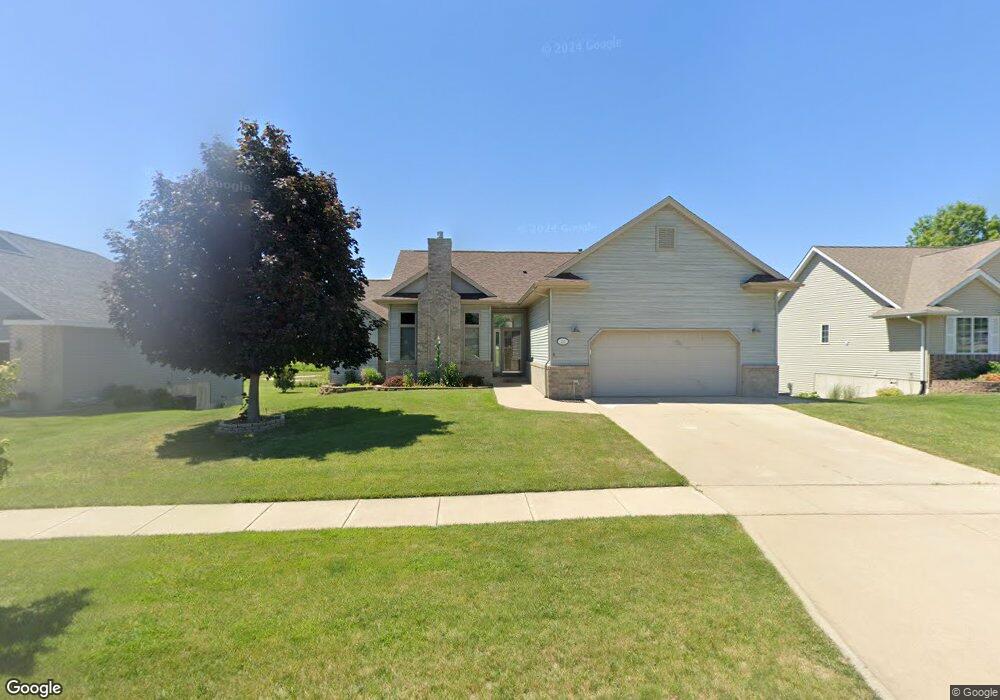
220 Scott Dr West Branch, IA 52358
Estimated Value: $300,000 - $406,000
3
Beds
3
Baths
1,504
Sq Ft
$240/Sq Ft
Est. Value
About This Home
This home is located at 220 Scott Dr, West Branch, IA 52358 and is currently estimated at $360,413, approximately $239 per square foot. 220 Scott Dr is a home located in Cedar County with nearby schools including Hoover Elementary School, West Branch Middle School, and West Branch High School.
Ownership History
Date
Name
Owned For
Owner Type
Purchase Details
Closed on
Nov 18, 2024
Sold by
Richard & Marian Murphy Family Trust and Murphy Marian
Bought by
Murphy Lawrence and Murphy Tamara
Current Estimated Value
Purchase Details
Closed on
Feb 24, 2020
Sold by
Murphy Richard J and Murphy Marian J
Bought by
Murphy Richard J and Richard & Marian Murphy Family Trust
Purchase Details
Closed on
Feb 5, 2007
Sold by
Frantz Tim P and Frantz Tami L
Bought by
Frantz Tim P and Frantz Tami L
Create a Home Valuation Report for This Property
The Home Valuation Report is an in-depth analysis detailing your home's value as well as a comparison with similar homes in the area
Home Values in the Area
Average Home Value in this Area
Purchase History
| Date | Buyer | Sale Price | Title Company |
|---|---|---|---|
| Murphy Lawrence | $300,000 | None Listed On Document | |
| Murphy Lawrence | $300,000 | None Listed On Document | |
| Murphy Richard J | -- | None Available | |
| Frantz Tim P | -- | None Available |
Source: Public Records
Tax History Compared to Growth
Tax History
| Year | Tax Paid | Tax Assessment Tax Assessment Total Assessment is a certain percentage of the fair market value that is determined by local assessors to be the total taxable value of land and additions on the property. | Land | Improvement |
|---|---|---|---|---|
| 2025 | $6,318 | $384,770 | $73,440 | $311,330 |
| 2024 | $6,318 | $371,810 | $73,440 | $298,370 |
| 2023 | $6,024 | $358,860 | $73,440 | $285,420 |
| 2022 | $5,438 | $281,150 | $53,040 | $228,110 |
| 2021 | $5,524 | $281,150 | $53,040 | $228,110 |
| 2020 | $5,352 | $272,990 | $44,880 | $228,110 |
| 2019 | $4,816 | $264,110 | $0 | $0 |
| 2018 | $4,560 | $264,110 | $0 | $0 |
| 2017 | $4,560 | $245,230 | $0 | $0 |
| 2016 | $4,484 | $245,230 | $0 | $0 |
| 2015 | $4,468 | $243,380 | $0 | $0 |
| 2014 | $4,284 | $243,380 | $0 | $0 |
Source: Public Records
Map
Nearby Homes
- 609 W Orange St
- 611 Riley Ln
- 173 Hilltop Dr
- Lot 17 Meadows Subdivision Part 5
- 719 Sullivan St
- 212 Dawson Dr
- 426 N 1st St
- 120 N Downey St
- 817 Prairie View Dr
- 127 N Downey St
- Lot 17 the Meadows Subdivision Part 5
- 436 Dawson Dr
- Lot 19 Meadows Subdivision Part 6
- Lot 17 Meadows Subdivision Part 6
- Lot 16 Meadows Subdivision Part 6
- Lot 18 Meadows Subdivision Part 6
- Lot 15 Meadows Subdivision Part 6
- Lot 14 Meadows Subdivision Part 6
- Lot 6 Meadows Subdivision Part 6
- Lot 12 Meadows Subdivision Part 6
- 216 Scott Dr
- 224 Scott Dr
- 228 Scott Dr
- 212 Scott Dr
- 208 Scott Dr
- 204 Scott Dr
- 200 Scott Dr
- 403 Gilbert Dr
- 401 Gilbert Dr
- 307 Gilbert Dr
- Lot 12 W Orange St
- 305 Gilbert Dr
- 409 Gilbert Dr
- 411 Gilbert Dr
- 501 Gilbert Dr
- 304 Gilbert Dr
- 159 Scott Dr
- 428 W Orange St
- 162 Scott Dr
- Lot 10 Loethen Ridge Estates