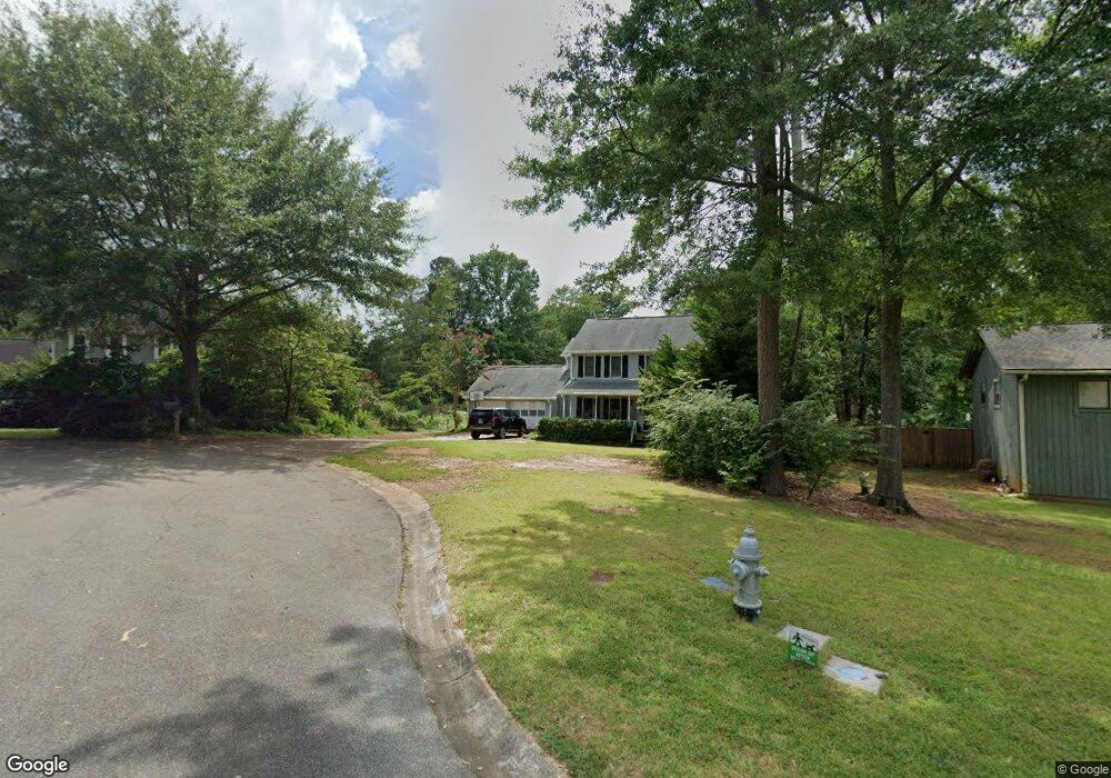
220 Sumter Dr Marietta, GA 30066
Sandy Plains NeighborhoodEstimated Value: $380,214 - $402,000
3
Beds
3
Baths
1,816
Sq Ft
$217/Sq Ft
Est. Value
About This Home
This home is located at 220 Sumter Dr, Marietta, GA 30066 and is currently estimated at $393,304, approximately $216 per square foot. 220 Sumter Dr is a home located in Cobb County with nearby schools including Chalker Elementary School, Daniell Middle School, and Sprayberry High School.
Ownership History
Date
Name
Owned For
Owner Type
Purchase Details
Closed on
Feb 23, 2005
Sold by
Rothove Britt
Bought by
Cameron Randall Of Brandy
Current Estimated Value
Home Financials for this Owner
Home Financials are based on the most recent Mortgage that was taken out on this home.
Original Mortgage
$142,000
Outstanding Balance
$70,027
Interest Rate
5.2%
Mortgage Type
Stand Alone Second
Estimated Equity
$323,277
Purchase Details
Closed on
Jul 18, 1997
Sold by
Brewer Steven R and Brewer R
Bought by
Rothove Britt
Home Financials for this Owner
Home Financials are based on the most recent Mortgage that was taken out on this home.
Original Mortgage
$97,400
Interest Rate
7.87%
Mortgage Type
New Conventional
Purchase Details
Closed on
Feb 4, 1994
Sold by
Mcdaniel Thomas M Annette M
Bought by
Brewer Steve R Diane M
Create a Home Valuation Report for This Property
The Home Valuation Report is an in-depth analysis detailing your home's value as well as a comparison with similar homes in the area
Home Values in the Area
Average Home Value in this Area
Purchase History
| Date | Buyer | Sale Price | Title Company |
|---|---|---|---|
| Cameron Randall Of Brandy | $177,500 | -- | |
| Rothove Britt | $121,800 | -- | |
| Brewer Steve R Diane M | $113,000 | -- |
Source: Public Records
Mortgage History
| Date | Status | Borrower | Loan Amount |
|---|---|---|---|
| Open | Cameron Randall Of Brandy | $142,000 | |
| Closed | Cameron Randall Of Brandy | $35,500 | |
| Previous Owner | Rothove Britt | $97,400 | |
| Closed | Brewer Steve R Diane M | -- |
Source: Public Records
Tax History Compared to Growth
Tax History
| Year | Tax Paid | Tax Assessment Tax Assessment Total Assessment is a certain percentage of the fair market value that is determined by local assessors to be the total taxable value of land and additions on the property. | Land | Improvement |
|---|---|---|---|---|
| 2024 | $3,673 | $121,828 | $34,000 | $87,828 |
| 2023 | $3,846 | $127,556 | $26,000 | $101,556 |
| 2022 | $2,989 | $98,476 | $20,000 | $78,476 |
| 2021 | $2,989 | $98,476 | $20,000 | $78,476 |
| 2020 | $2,989 | $98,476 | $20,000 | $78,476 |
| 2019 | $2,537 | $83,604 | $20,000 | $63,604 |
| 2018 | $2,537 | $83,604 | $20,000 | $63,604 |
| 2017 | $1,902 | $66,164 | $20,000 | $46,164 |
| 2016 | $1,902 | $66,164 | $20,000 | $46,164 |
| 2015 | $1,706 | $57,908 | $20,000 | $37,908 |
| 2014 | $1,720 | $57,908 | $0 | $0 |
Source: Public Records
Map
Nearby Homes
- 183 Kathryn Ln Unit 3
- 68 Christine Dr
- 120 Chastain Rd NW Unit 1407
- 120 Chastain Rd NW Unit 202
- 159 Lloyd Dr
- 3157 Bellestone Ct
- 336 Rockmoor Trail
- 138 Lakeside Dr NW
- 3216 Guynelle Dr
- 795 Weybourne Ct
- 799 Weybourne Ct
- 157 Eastlake Point NW
- 3418 Chastain Glen Ln NE
- 3195 Vickery Dr NE
- 661 Glenbarrett Ct NE
- 3171 Vickery Dr NE
- 671 Glenbarrett Ct NE Unit IV
- 210 Sumter Dr
- 230 Sumter Dr
- 3304 Lowe Dr Unit 4
- 3306 Lowe Dr Unit 4
- 3302 Lowe Dr Unit 4
- 200 Sumter Dr
- 0 Lowe Dr NE Unit 7247133
- 0 Lowe Dr NE Unit 8745402
- 240 Sumter Dr
- 201 Sumter Dr
- 3300 Lowe Dr
- 175 Kathryn Dr
- 3310 Lowe Dr Unit 4
- 177 Kathryn Dr
- 3311 Lowe Dr
- 190 Sumter Dr
- 3309 Lowe Dr Unit 4
- 250 Sumter Dr
- 179 Kathryn Dr
- 251 Sumter Dr