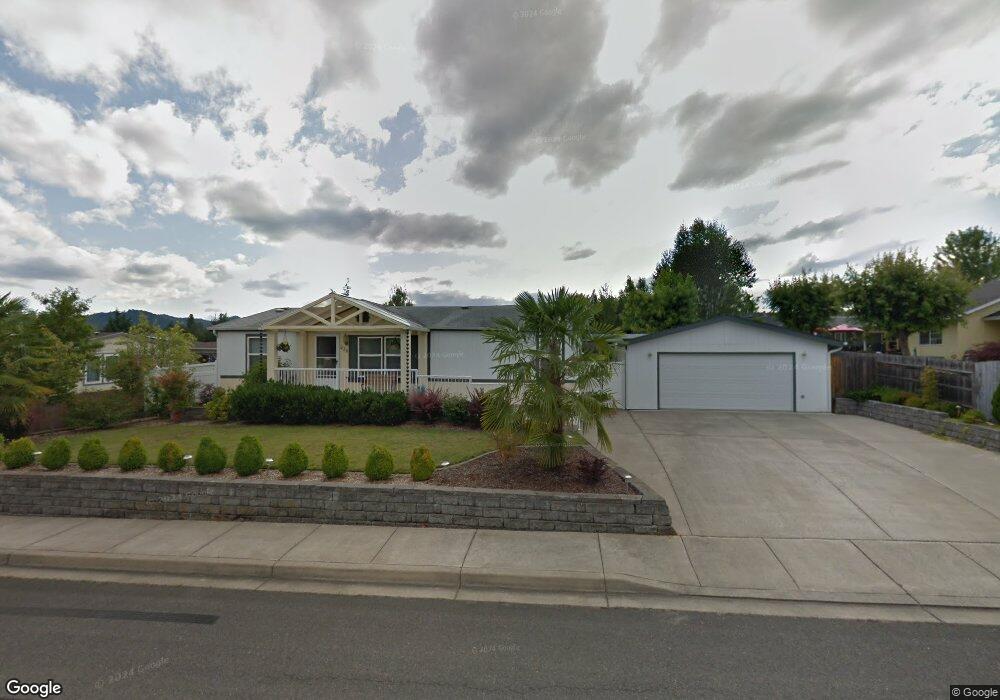
220 Timothy Ave Winston, OR 97496
Estimated Value: $300,895 - $324,000
3
Beds
2
Baths
1,188
Sq Ft
$261/Sq Ft
Est. Value
About This Home
This home is located at 220 Timothy Ave, Winston, OR 97496 and is currently estimated at $309,965, approximately $260 per square foot. 220 Timothy Ave is a home located in Douglas County with nearby schools including Douglas High School.
Ownership History
Date
Name
Owned For
Owner Type
Purchase Details
Closed on
Apr 1, 2024
Sold by
Standley Steve and Standley Lois
Bought by
Molitor David
Current Estimated Value
Home Financials for this Owner
Home Financials are based on the most recent Mortgage that was taken out on this home.
Original Mortgage
$289,000
Outstanding Balance
$280,847
Interest Rate
4%
Mortgage Type
New Conventional
Estimated Equity
$29,118
Purchase Details
Closed on
Feb 24, 2010
Sold by
Baker W J and Baker Norma L
Bought by
Standley Steve and Standley Lois
Purchase Details
Closed on
Aug 12, 2004
Sold by
Bockoven Martha
Bought by
Baker W J and Baker Norma L
Create a Home Valuation Report for This Property
The Home Valuation Report is an in-depth analysis detailing your home's value as well as a comparison with similar homes in the area
Home Values in the Area
Average Home Value in this Area
Purchase History
| Date | Buyer | Sale Price | Title Company |
|---|---|---|---|
| Molitor David | $289,000 | Western Title | |
| Standley Steve | $128,900 | Ticor Title | |
| Baker W J | $117,500 | Ticor Title |
Source: Public Records
Mortgage History
| Date | Status | Borrower | Loan Amount |
|---|---|---|---|
| Open | Molitor David | $289,000 |
Source: Public Records
Tax History Compared to Growth
Tax History
| Year | Tax Paid | Tax Assessment Tax Assessment Total Assessment is a certain percentage of the fair market value that is determined by local assessors to be the total taxable value of land and additions on the property. | Land | Improvement |
|---|---|---|---|---|
| 2025 | $1,959 | $117,873 | -- | -- |
| 2024 | $2,413 | $145,086 | -- | -- |
| 2023 | $2,345 | $140,861 | $0 | $0 |
| 2022 | $2,275 | $136,759 | $0 | $0 |
| 2021 | $2,214 | $132,776 | $0 | $0 |
| 2020 | $2,150 | $128,909 | $0 | $0 |
| 2019 | $2,099 | $125,155 | $0 | $0 |
| 2018 | $2,043 | $121,510 | $0 | $0 |
| 2017 | $1,929 | $117,971 | $0 | $0 |
| 2016 | $1,869 | $114,069 | $0 | $0 |
| 2015 | $1,784 | $108,357 | $0 | $0 |
| 2014 | $1,914 | $115,373 | $0 | $0 |
| 2013 | -- | $109,483 | $0 | $0 |
Source: Public Records
Map
Nearby Homes
- 210 NW Timothy Ave
- 364 NW Teal St
- 222 NW Broc Dr
- 841 NW Lori St
- 109 Citation Ct
- 13224 Lookingglass Rd
- 0 NW Galaxy Dr
- 139 Teresa Ln
- 0 Danielle Dr Unit 122251646
- 165 Danielle Dr
- 102 Sarah Bear Ln
- 635 Wil Way
- 308 NW Civil Bend Ave
- 0 Wil Way Unit 24292479
- 0 Wil Way Unit 24094727
- 0 Wil Way Unit 24278136
- 150 Wil Way
- 160 Wil Way
- 301 NW Midway St
- 2414 Brockway Rd
- 220 NW Timothy Ave
- 210 Timothy Ave
- 1110 Mark Ct
- 1120 Mark Ct
- 1121 Abraham Ave
- 231 NW Timothy Ave
- 221 Timothy Ave
- 231 Timothy Ave
- 1130 Mark Ct
- 0 Mark Ct
- 241 Timothy Ave Unit 1
- 201 Timothy Ave
- 1131 Abraham Ave
- 152 NW Woodduck St
- 164 Woodduck St
- 1140 Mark Ct
- 1110 Abraham Ave
- 1110 NW Abraham
- 1120 Abraham Ave
- 1100 Abraham Ave