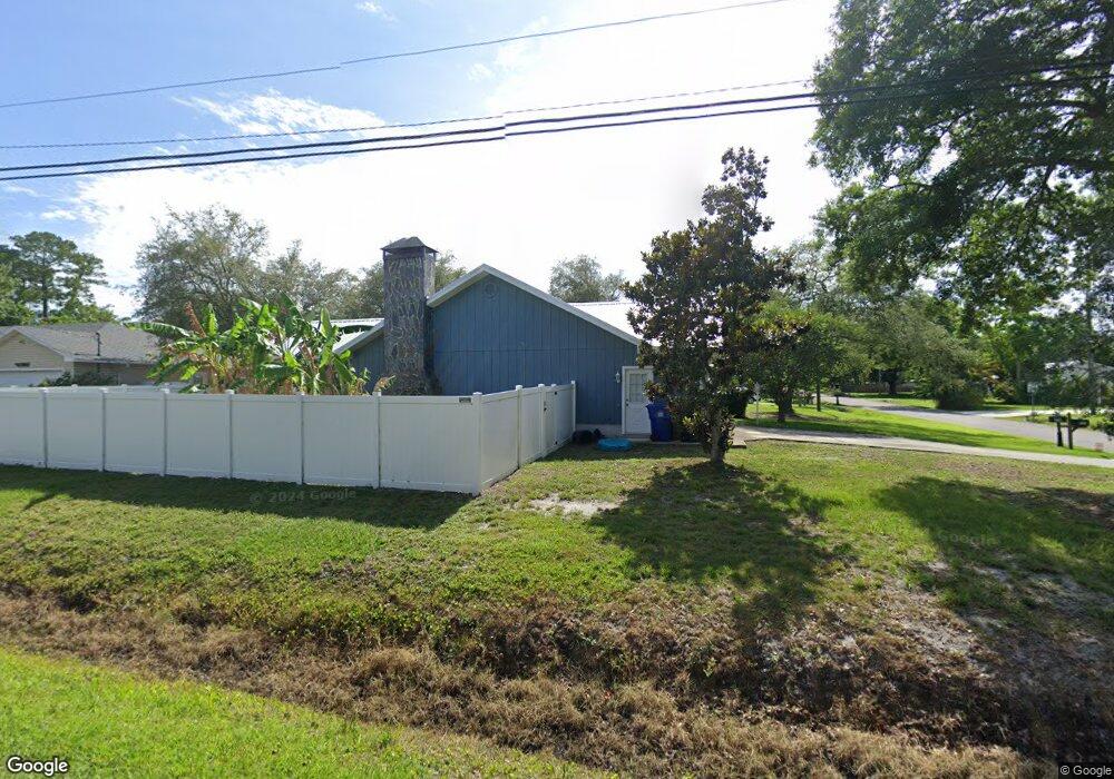
220 Vassar Rd Saint Augustine, FL 32086
Estimated Value: $441,000 - $513,000
3
Beds
2
Baths
2,081
Sq Ft
$228/Sq Ft
Est. Value
About This Home
This home is located at 220 Vassar Rd, Saint Augustine, FL 32086 and is currently estimated at $474,276, approximately $227 per square foot. 220 Vassar Rd is a home located in St. Johns County with nearby schools including Osceola Elementary School, R J Murray Middle School, and Pedro Menendez High School.
Ownership History
Date
Name
Owned For
Owner Type
Purchase Details
Closed on
May 11, 2018
Sold by
Cleary John E and Diviney Jessica Leigh
Bought by
Cleary Brandon J and Cleary Robin L
Current Estimated Value
Home Financials for this Owner
Home Financials are based on the most recent Mortgage that was taken out on this home.
Original Mortgage
$236,650
Outstanding Balance
$202,197
Interest Rate
4.44%
Mortgage Type
New Conventional
Estimated Equity
$272,079
Create a Home Valuation Report for This Property
The Home Valuation Report is an in-depth analysis detailing your home's value as well as a comparison with similar homes in the area
Home Values in the Area
Average Home Value in this Area
Purchase History
| Date | Buyer | Sale Price | Title Company |
|---|---|---|---|
| Cleary Brandon J | $250,000 | Action Title Svcs Of St |
Source: Public Records
Mortgage History
| Date | Status | Borrower | Loan Amount |
|---|---|---|---|
| Open | Cleary Brandon J | $236,650 |
Source: Public Records
Tax History
| Year | Tax Paid | Tax Assessment Tax Assessment Total Assessment is a certain percentage of the fair market value that is determined by local assessors to be the total taxable value of land and additions on the property. | Land | Improvement |
|---|---|---|---|---|
| 2025 | $3,174 | $285,654 | -- | -- |
| 2024 | $3,174 | $274,071 | -- | -- |
| 2023 | $3,174 | $266,088 | $0 | $0 |
| 2022 | $3,080 | $258,338 | $0 | $0 |
| 2021 | $3,069 | $250,814 | $0 | $0 |
| 2020 | $3,057 | $247,351 | $0 | $0 |
| 2019 | $3,113 | $241,790 | $0 | $0 |
| 2018 | $1,843 | $178,423 | $0 | $0 |
| 2017 | $1,842 | $174,753 | $0 | $0 |
| 2016 | $1,838 | $176,294 | $0 | $0 |
| 2015 | $1,870 | $175,068 | $0 | $0 |
| 2014 | $1,875 | $166,852 | $0 | $0 |
Source: Public Records
Map
Nearby Homes
Your Personal Tour Guide
Ask me questions while you tour the home.