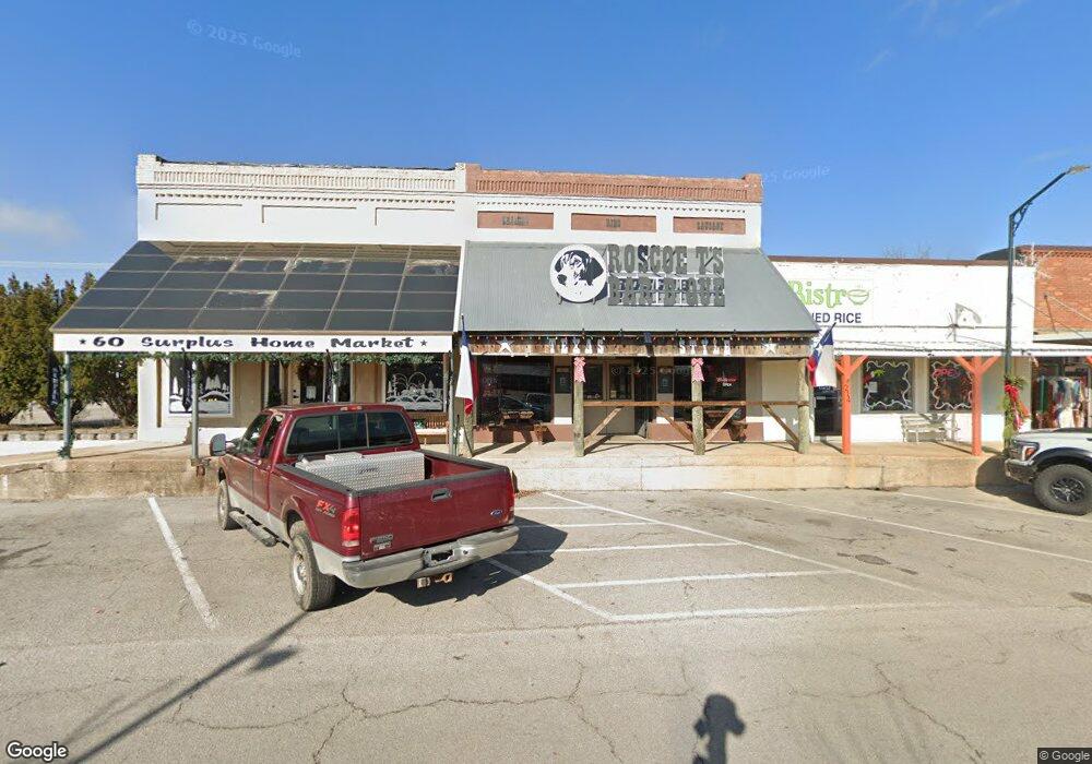
220 W 1st St Mountain View, MO 65548
--
Bed
--
Bath
2,750
Sq Ft
3,485
Sq Ft Lot
About This Home
This home is located at 220 W 1st St, Mountain View, MO 65548. 220 W 1st St is a home located in Howell County with nearby schools including Liberty Senior High School.
Ownership History
Date
Name
Owned For
Owner Type
Purchase Details
Closed on
Jan 26, 2022
Sold by
Spirits Of The Ozarks Llc
Bought by
Ozarks Rei Llc
Home Financials for this Owner
Home Financials are based on the most recent Mortgage that was taken out on this home.
Original Mortgage
$61,500
Interest Rate
3.22%
Mortgage Type
Construction
Purchase Details
Closed on
Oct 28, 2013
Sold by
Pc Fusion Inc
Bought by
Spirits Of The Ozarks Llc
Home Financials for this Owner
Home Financials are based on the most recent Mortgage that was taken out on this home.
Original Mortgage
$121,743
Interest Rate
4.56%
Mortgage Type
Future Advance Clause Open End Mortgage
Create a Home Valuation Report for This Property
The Home Valuation Report is an in-depth analysis detailing your home's value as well as a comparison with similar homes in the area
Home Values in the Area
Average Home Value in this Area
Purchase History
| Date | Buyer | Sale Price | Title Company |
|---|---|---|---|
| Ozarks Rei Llc | -- | Cantrell & Nicholson | |
| Spirits Of The Ozarks Llc | -- | None Available |
Source: Public Records
Mortgage History
| Date | Status | Borrower | Loan Amount |
|---|---|---|---|
| Closed | Ozarks Rei Llc | $61,500 | |
| Previous Owner | Spirits Of The Ozarks Llc | $121,743 |
Source: Public Records
Tax History Compared to Growth
Tax History
| Year | Tax Paid | Tax Assessment Tax Assessment Total Assessment is a certain percentage of the fair market value that is determined by local assessors to be the total taxable value of land and additions on the property. | Land | Improvement |
|---|---|---|---|---|
| 2025 | $691 | $13,770 | $1,990 | $11,780 |
| 2024 | $682 | $13,770 | -- | -- |
| 2023 | $682 | $13,770 | $0 | $0 |
| 2022 | $644 | $13,020 | $0 | $0 |
| 2021 | $646 | $13,020 | $0 | $0 |
| 2020 | $646 | $13,020 | $0 | $0 |
| 2019 | $644 | $13,020 | $0 | $0 |
| 2018 | $465 | $9,340 | $0 | $0 |
| 2017 | $463 | $9,340 | $0 | $0 |
| 2015 | -- | $9,340 | $0 | $0 |
| 2014 | -- | $9,340 | $0 | $0 |
| 2013 | -- | $9,340 | $0 | $0 |
Source: Public Records
Map
Nearby Homes
- 104 S Pine St
- 230 W 2nd St
- 225 N Pine St
- 108 W 2nd St
- 301 N Elm St
- 401 N Pine St
- 407 S Elm St
- 7645 Highway 60
- 308 E James St
- 300 E 6th St
- 601 E 3rd St
- 100 Pennycuick Dr
- 413 E 7th St
- 105 Pennycuick Dr
- 305 Maplewood Ct
- 220 State Route W
- 703 Washington St
- 613 Joyner Ln
- 00 Track 3 State Route W
- 00 Track 5 State Route W