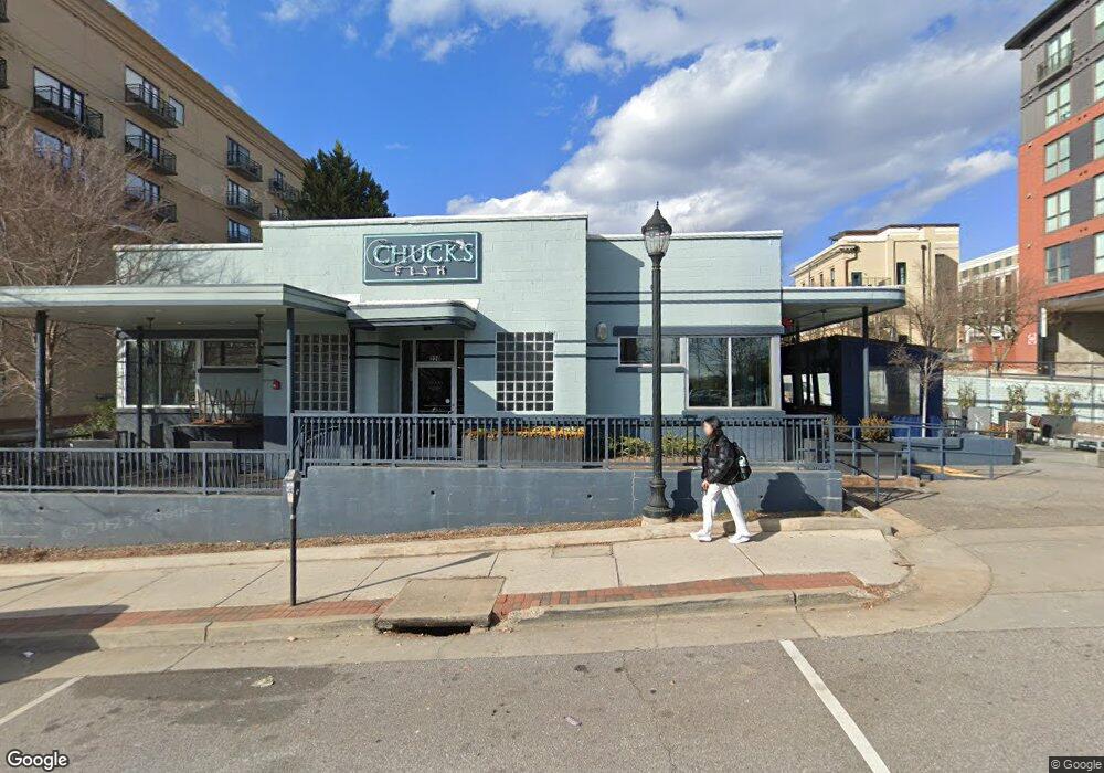
220 W Broad St Athens, GA 30601
Estimated Value: $2,362,128
--
Bed
--
Bath
3,700
Sq Ft
$638/Sq Ft
Est. Value
About This Home
This home is located at 220 W Broad St, Athens, GA 30601 and is currently estimated at $2,362,128, approximately $638 per square foot. 220 W Broad St is a home located in Clarke County with nearby schools including Barrow Elementary School, Clarke Middle School, and Clarke Central High School.
Ownership History
Date
Name
Owned For
Owner Type
Purchase Details
Closed on
Apr 15, 2020
Sold by
Ebrw Properties Llc
Bought by
Athens C Fish Property Llc
Current Estimated Value
Home Financials for this Owner
Home Financials are based on the most recent Mortgage that was taken out on this home.
Original Mortgage
$1,080,000
Outstanding Balance
$521,262
Interest Rate
3.6%
Mortgage Type
Commercial
Estimated Equity
$1,840,866
Purchase Details
Closed on
Apr 24, 2006
Sold by
Not Provided
Bought by
Ebrw Properties Llc
Home Financials for this Owner
Home Financials are based on the most recent Mortgage that was taken out on this home.
Original Mortgage
$240,000
Interest Rate
6.28%
Mortgage Type
New Conventional
Create a Home Valuation Report for This Property
The Home Valuation Report is an in-depth analysis detailing your home's value as well as a comparison with similar homes in the area
Home Values in the Area
Average Home Value in this Area
Purchase History
| Date | Buyer | Sale Price | Title Company |
|---|---|---|---|
| Athens C Fish Property Llc | -- | -- | |
| Athens C Fish Property Llc | $1,350,000 | -- | |
| Ebrw Properties Llc | $475,000 | -- |
Source: Public Records
Mortgage History
| Date | Status | Borrower | Loan Amount |
|---|---|---|---|
| Open | Athens C Fish Property Llc | $1,080,000 | |
| Closed | Athens C Fish Property Llc | $1,080,000 | |
| Previous Owner | Ebrw Properties Llc | $240,000 |
Source: Public Records
Tax History Compared to Growth
Tax History
| Year | Tax Paid | Tax Assessment Tax Assessment Total Assessment is a certain percentage of the fair market value that is determined by local assessors to be the total taxable value of land and additions on the property. | Land | Improvement |
|---|---|---|---|---|
| 2024 | $19,941 | $618,317 | $159,299 | $459,018 |
| 2023 | $19,941 | $562,106 | $144,817 | $417,288 |
| 2022 | $16,941 | $514,920 | $144,817 | $370,103 |
| 2021 | $15,383 | $443,314 | $128,726 | $314,588 |
| 2020 | $13,499 | $389,006 | $120,681 | $268,325 |
| 2019 | $8,195 | $234,486 | $109,710 | $124,776 |
| 2018 | $8,334 | $238,442 | $109,710 | $128,732 |
| 2017 | $8,159 | $233,461 | $109,710 | $123,751 |
Source: Public Records
Map
Nearby Homes
- 250 W Broad St Unit 811
- 250 W Broad St Unit 521
- 269 N Hull St Unit 212
- 100 Prince Ave Unit A404
- 100 Prince Ave Unit A407
- 559 Pulaski St
- 365 S Church St Unit 1A, 1B, 1C
- 257 Hill St
- 143 Barrow St
- 494 Baxter St Unit 32
- 600 Pulaski St
- 570 Prince Ave
- 668 Pulaski St
- 500 Dearing St Unit 6
- 145 Hendrix Ave
- 597 Dearing St
- 255 Bloomfield St
- 198 Flint St
- 50 Springdale St
- 1196 W Hancock Ave Unit 1
- 250 W Broad St Unit 817
- 250 W Broad St Unit 808
- 250 W Broad St Unit 821
- 250 W Broad St Unit 509
- 250 W Broad St Unit 409
- 250 W Broad St Unit 622
- 250 W Broad St Unit 519
- 250 W Broad St Unit 605
- 250 W Broad St Unit 502
- 250 W Broad St Unit 807
- 250 W Broad St Unit 505
- 250 W Broad St Unit 510
- 250 W Broad St Unit 408
- 250 W Broad St Unit 723
- 250 W Broad St Unit 611
- 250 W Broad St Unit 803
- 250 W Broad St Unit 516
- 250 W Broad St Unit 205
- 250 W Broad St Unit 621
- 250 W Broad St Unit 615