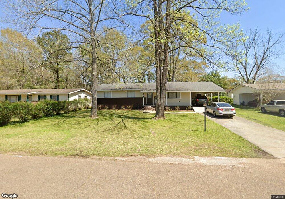
220 Westview Cir McComb, MS 39648
Estimated Value: $120,351 - $131,000
3
Beds
2
Baths
1,352
Sq Ft
$92/Sq Ft
Est. Value
About This Home
This home is located at 220 Westview Cir, McComb, MS 39648 and is currently estimated at $124,588, approximately $92 per square foot. 220 Westview Cir is a home located in Pike County with nearby schools including Otken Elementary School, Higgins Middle School, and Denman Junior High School.
Ownership History
Date
Name
Owned For
Owner Type
Purchase Details
Closed on
May 8, 2017
Sold by
Graves Rhonda M Hough and Graves Clyde H
Bought by
Bates Robert L
Current Estimated Value
Home Financials for this Owner
Home Financials are based on the most recent Mortgage that was taken out on this home.
Original Mortgage
$93,082
Outstanding Balance
$79,140
Interest Rate
5.12%
Mortgage Type
FHA
Estimated Equity
$45,448
Purchase Details
Closed on
Nov 12, 2014
Sold by
Alford Holly Jean
Bought by
Hough Rhonda M
Home Financials for this Owner
Home Financials are based on the most recent Mortgage that was taken out on this home.
Original Mortgage
$73,979
Interest Rate
4%
Mortgage Type
New Conventional
Create a Home Valuation Report for This Property
The Home Valuation Report is an in-depth analysis detailing your home's value as well as a comparison with similar homes in the area
Purchase History
| Date | Buyer | Sale Price | Title Company |
|---|---|---|---|
| Bates Robert L | -- | None Available | |
| Hough Rhonda M | -- | None Available |
Source: Public Records
Mortgage History
| Date | Status | Borrower | Loan Amount |
|---|---|---|---|
| Open | Bates Robert L | $93,082 | |
| Previous Owner | Hough Rhonda M | $73,979 |
Source: Public Records
Tax History
| Year | Tax Paid | Tax Assessment Tax Assessment Total Assessment is a certain percentage of the fair market value that is determined by local assessors to be the total taxable value of land and additions on the property. | Land | Improvement |
|---|---|---|---|---|
| 2025 | $882 | $6,408 | $0 | $0 |
| 2024 | $782 | $5,658 | $0 | $0 |
| 2023 | $1,498 | $8,487 | $0 | $0 |
| 2022 | $1,477 | $8,487 | $0 | $0 |
| 2021 | $1,473 | $8,487 | $0 | $0 |
| 2020 | $1,537 | $8,852 | $0 | $0 |
| 2019 | $1,470 | $8,852 | $0 | $0 |
| 2018 | $1,427 | $8,852 | $0 | $0 |
| 2017 | $717 | $5,901 | $0 | $0 |
| 2016 | $710 | $5,901 | $0 | $0 |
| 2015 | $701 | $5,833 | $0 | $0 |
| 2014 | -- | $5,833 | $0 | $0 |
| 2013 | -- | $5,833 | $0 | $0 |
Source: Public Records
Map
Nearby Homes
- 534 11th St
- 300 Wilson Dr
- 106 Shelly Dr
- 1304 24th St
- 724 Beech St
- 1043 24th St
- 710 Beech St
- 1012 Harper St
- 1409 Vermont Ave
- 1406 Vermont Ave
- 816 Hart Rd
- 707 Earl St
- 309 West Ave S
- 703 Pennsylvania Ave
- 502 Faulkner Dr
- Lot 15 Business Center Dr
- Lot 3 Business Center Dr
- Lot 5 Business Center Dr
- Lot 14 Business Center Dr
- Lot 4 Business Center Dr
- 222 Westview Cir
- 104 Watts Dr
- 209 Westview Cir
- 207 Westview Cir
- 211 Westview Cir
- 216 Westview Cir
- 224 Westview Cir
- 102 Watts Dr
- 105 Watts St
- 402 11th St
- 228 Westview Cir
- 201 Westview Cir
- 212 Westview Cir
- 205 Westview Cir
- 203 Westview Cir
- 526 11th St
- 103 Watts St
- 210 Westview Cir
- 230 Westview Cir
- 201 Gerald Dr
Your Personal Tour Guide
Ask me questions while you tour the home.