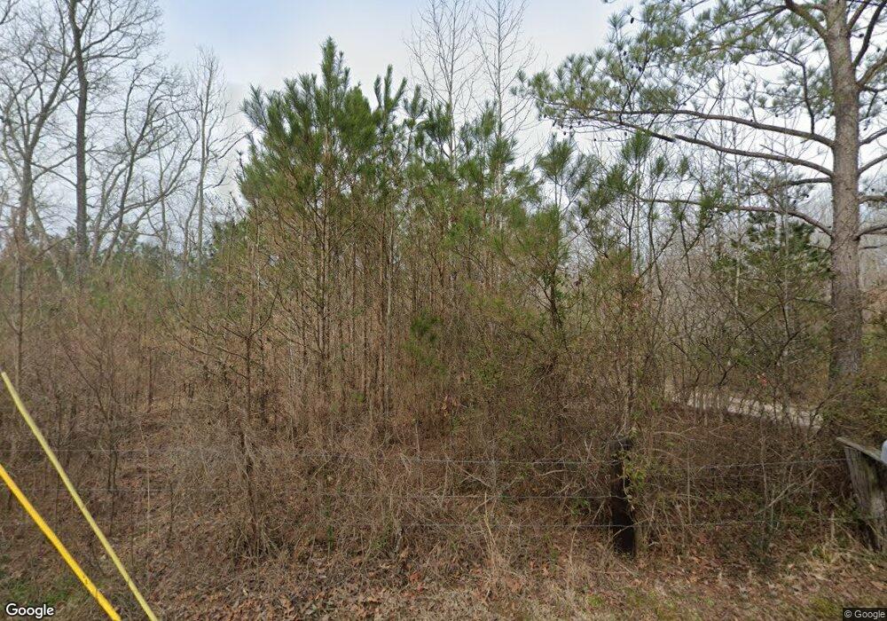
220 Woodstown Loop Shiloh, TN 38376
Estimated Value: $99,345 - $175,000
--
Bed
1
Bath
1,296
Sq Ft
$109/Sq Ft
Est. Value
About This Home
This home is located at 220 Woodstown Loop, Shiloh, TN 38376 and is currently estimated at $141,586, approximately $109 per square foot. 220 Woodstown Loop is a home located in Hardin County with nearby schools including Hardin County High School.
Ownership History
Date
Name
Owned For
Owner Type
Purchase Details
Closed on
Dec 11, 2015
Sold by
Robertson James Michael
Bought by
Robertson James Michael and Robertson Shelia
Current Estimated Value
Purchase Details
Closed on
Aug 27, 1993
Bought by
Robertson Michael James
Purchase Details
Closed on
Apr 23, 1991
Bought by
Robertson James L
Purchase Details
Closed on
Jun 26, 1978
Bought by
Paige Glen Roy
Purchase Details
Closed on
Aug 21, 1975
Create a Home Valuation Report for This Property
The Home Valuation Report is an in-depth analysis detailing your home's value as well as a comparison with similar homes in the area
Home Values in the Area
Average Home Value in this Area
Purchase History
| Date | Buyer | Sale Price | Title Company |
|---|---|---|---|
| Robertson James Michael | -- | -- | |
| Robertson James Michael | -- | -- | |
| Robertson Michael James | $500 | -- | |
| Robertson James L | $3,000 | -- | |
| Paige Glen Roy | -- | -- | |
| -- | -- | -- |
Source: Public Records
Tax History Compared to Growth
Tax History
| Year | Tax Paid | Tax Assessment Tax Assessment Total Assessment is a certain percentage of the fair market value that is determined by local assessors to be the total taxable value of land and additions on the property. | Land | Improvement |
|---|---|---|---|---|
| 2024 | $334 | $19,100 | $1,000 | $18,100 |
| 2023 | $334 | $19,100 | $1,000 | $18,100 |
| 2022 | $259 | $12,550 | $1,125 | $11,425 |
| 2021 | $243 | $12,550 | $1,125 | $11,425 |
| 2020 | $243 | $11,775 | $1,125 | $10,650 |
| 2019 | $243 | $11,775 | $1,125 | $10,650 |
| 2018 | $234 | $11,775 | $1,125 | $10,650 |
| 2017 | $239 | $11,475 | $1,125 | $10,350 |
| 2016 | $239 | $11,475 | $1,125 | $10,350 |
| 2015 | $209 | $11,475 | $1,125 | $10,350 |
| 2014 | $209 | $11,475 | $1,125 | $10,350 |
Source: Public Records
Map
Nearby Homes
- 0 Tennessee 142
- 0 Fisher Ln
- 00 Fisher Ln
- 00 Tennessee 142
- 185 Baxter Rd
- 0 Baxter Rd
- 1293 Tennessee 22
- 410 Gladden Rd
- 30 Federal Rd
- 11200 Highway 142
- 330 Lick Creek Rd
- 359 Cemetery Rd
- 255 Rock Pile Ln
- 1035 Hill Dr
- 230 Silver Water Ln
- 75 Hayden Dr
- LT 138 Bandit Way
- 690 Declan Ln
- LOT 12 Declan Ln
- LOT 29 Declan Ln
- 275 Woodstown Loop
- 215 Woodstown Loop
- 150 Woodstown Loop
- 1955 Highway 142
- 365 Woodstown Loop Unit 385
- 100 Woodstown Loop
- 280 Woodstown Loop
- 1805 Highway 142
- 80 Woodstown Loop
- 1 142 Hwy
- 50 Woodstown Loop
- 1915 Highway 142
- 30 Woodstown Loop
- 520 Woodstown Loop
- 0 Woodstown Loop
- 765 Fisher Ln
- 295 Saddleback Ln
- 230 Saddleback Ln
- 225 Saddleback Ln
- 270 Saddleback Ln
