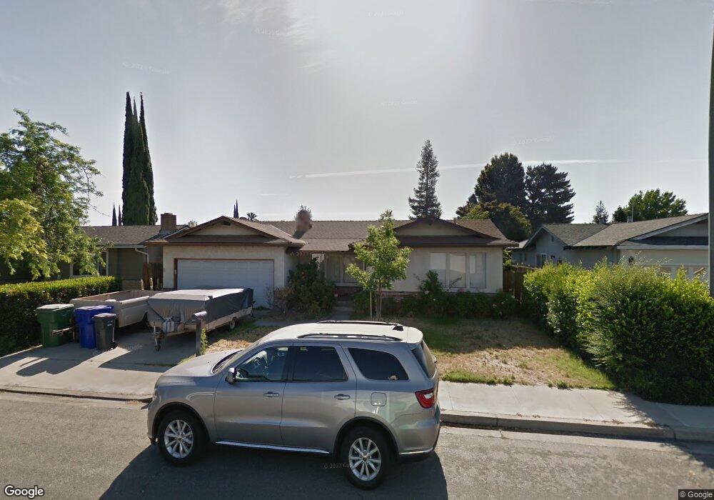
2200 Julie Ave Turlock, CA 95382
Estimated Value: $329,000 - $430,254
3
Beds
2
Baths
1,328
Sq Ft
$303/Sq Ft
Est. Value
About This Home
This home is located at 2200 Julie Ave, Turlock, CA 95382 and is currently estimated at $402,064, approximately $302 per square foot. 2200 Julie Ave is a home located in Stanislaus County with nearby schools including Walter M. Brown Elementary School, Marvin A. Dutcher Middle School, and Turlock Junior High School.
Ownership History
Date
Name
Owned For
Owner Type
Purchase Details
Closed on
Jun 24, 1996
Sold by
Ford Consumer Finance Company Inc
Bought by
Hewitt Michael D
Current Estimated Value
Home Financials for this Owner
Home Financials are based on the most recent Mortgage that was taken out on this home.
Original Mortgage
$109,200
Outstanding Balance
$6,996
Interest Rate
8.03%
Mortgage Type
FHA
Estimated Equity
$395,068
Purchase Details
Closed on
Mar 27, 1996
Sold by
Mcelligott Richard T and Mcelligott Janene L
Bought by
Ford Consumer Finance Company Inc
Create a Home Valuation Report for This Property
The Home Valuation Report is an in-depth analysis detailing your home's value as well as a comparison with similar homes in the area
Home Values in the Area
Average Home Value in this Area
Purchase History
| Date | Buyer | Sale Price | Title Company |
|---|---|---|---|
| Hewitt Michael D | $110,000 | Fidelity National Title | |
| Ford Consumer Finance Company Inc | -- | Fidelity National Title |
Source: Public Records
Mortgage History
| Date | Status | Borrower | Loan Amount |
|---|---|---|---|
| Open | Hewitt Michael D | $109,200 |
Source: Public Records
Tax History Compared to Growth
Tax History
| Year | Tax Paid | Tax Assessment Tax Assessment Total Assessment is a certain percentage of the fair market value that is determined by local assessors to be the total taxable value of land and additions on the property. | Land | Improvement |
|---|---|---|---|---|
| 2025 | $1,849 | $179,131 | $56,993 | $122,138 |
| 2024 | $1,813 | $175,620 | $55,876 | $119,744 |
| 2023 | $1,809 | $172,178 | $54,781 | $117,397 |
| 2022 | $1,785 | $168,803 | $53,707 | $115,096 |
| 2021 | $1,757 | $165,494 | $52,654 | $112,840 |
| 2020 | $1,744 | $163,798 | $52,115 | $111,683 |
| 2019 | $1,714 | $160,588 | $51,094 | $109,494 |
| 2018 | $1,711 | $157,441 | $50,093 | $107,348 |
| 2017 | $1,669 | $154,355 | $49,111 | $105,244 |
| 2016 | $1,557 | $151,330 | $48,149 | $103,181 |
| 2015 | $1,543 | $149,058 | $47,426 | $101,632 |
| 2014 | $1,526 | $146,139 | $46,497 | $99,642 |
Source: Public Records
Map
Nearby Homes
- 517 W Tuolumne Rd
- 2300 Dels Ln
- 401 W Tuolumne Rd
- 2213 Dels Ln
- 2417 Andre Ln
- 330 Wiley Ct
- 100 Pedras Rd
- 2700 Oxford Ave
- 425 20th Century Blvd Unit A13
- 425 20th Century Blvd Unit D3
- 2900 Andre Ln Unit 241
- 2900 Andre Ln Unit 243
- 2900 Andre Ln Unit 237
- 2905 Niagra St Unit 168
- 1860 Loyola Way
- 3117 Andre Ln
- 1366 Geer Rd
- 2661 Brooks Ct
- 307 Almond Ave
- 2985 Radford Way