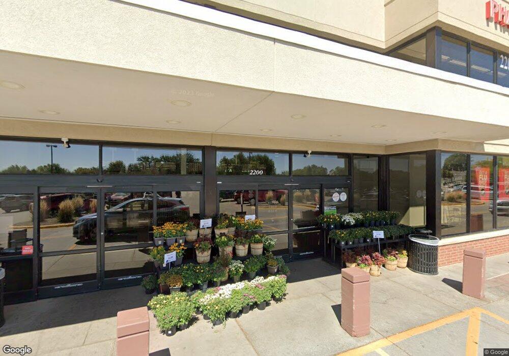
2200 W Kimberly Rd Davenport, IA 52806
North Side NeighborhoodEstimated Value: $7,238,259
--
Bed
--
Bath
505
Sq Ft
$14,333/Sq Ft
Est. Value
About This Home
This home is located at 2200 W Kimberly Rd, Davenport, IA 52806 and is currently estimated at $7,238,259, approximately $14,333 per square foot. 2200 W Kimberly Rd is a home located in Scott County with nearby schools including Martin Luther King Jr. Elementary School, Buchanan Elementary School, and Cumberland Hall School.
Ownership History
Date
Name
Owned For
Owner Type
Purchase Details
Closed on
Sep 27, 2018
Sold by
Eig Kimberly West 2 Llc
Bought by
Realty Income Properties
Current Estimated Value
Purchase Details
Closed on
Oct 5, 2006
Sold by
Bradley Operating Lp
Bought by
Centro Bradley Spe 3 Llc
Create a Home Valuation Report for This Property
The Home Valuation Report is an in-depth analysis detailing your home's value as well as a comparison with similar homes in the area
Home Values in the Area
Average Home Value in this Area
Purchase History
| Date | Buyer | Sale Price | Title Company |
|---|---|---|---|
| Realty Income Properties | $5,600,000 | -- | |
| Centro Bradley Spe 3 Llc | -- | Commonwealth Lane Title |
Source: Public Records
Tax History Compared to Growth
Tax History
| Year | Tax Paid | Tax Assessment Tax Assessment Total Assessment is a certain percentage of the fair market value that is determined by local assessors to be the total taxable value of land and additions on the property. | Land | Improvement |
|---|---|---|---|---|
| 2025 | $201,884 | $6,024,250 | $1,033,100 | $4,991,150 |
| 2024 | $201,578 | $6,024,250 | $1,033,100 | $4,991,150 |
| 2023 | $172,540 | $6,024,250 | $1,033,100 | $4,991,150 |
| 2022 | $183,594 | $5,768,320 | $1,033,100 | $4,735,220 |
| 2021 | $183,594 | $5,145,770 | $1,033,100 | $4,112,670 |
| 2020 | $182,332 | $5,145,770 | $1,033,100 | $4,112,670 |
| 2019 | -- | $4,452,400 | $1,025,180 | $3,427,220 |
| 2018 | -- | $4,452,400 | $1,025,180 | $3,427,220 |
| 2017 | -- | $4,452,400 | $1,025,180 | $3,427,220 |
| 2016 | -- | $4,696,800 | $0 | $0 |
| 2015 | -- | $4,696,800 | $0 | $0 |
| 2014 | -- | $4,696,800 | $0 | $0 |
| 2013 | -- | $0 | $0 | $0 |
| 2012 | -- | $4,696,800 | $960,800 | $3,736,000 |
Source: Public Records
Map
Nearby Homes
- 4104 N Linwood Ave
- 4123 N Linwood Ave
- 4406 Regency Place
- 4132 Rodeo Rd
- 2426 W 44th St
- 3812 N Thornwood Ave
- 2724 W 38th Place
- 2159 W 35th St
- 2728 W 38th Place
- 3812 Joyce Ln
- 3612 Wilkes Ave
- 2223 W 34th St
- Lot 29 W 34th St
- 28 W Village Cir
- 4036 Hillandale Rd
- 1617 W 38th St
- 3205 N Pine St
- 3831 N Sturdevant St
- 1517 W Kimberly Rd
- 3011 N Pine St
- 4118 Regency Ct
- 4110 Regency Ct
- 4130 Regency Ct
- 4104 Regency Ct
- 4009 N Pine St
- 2140 W Kimberly Rd Unit 7
- 2140 W Kimberly Rd Unit 23
- 2140 W Kimberly Rd Unit 11
- 2140 W Kimberly Rd Unit 8
- 2140 W Kimberly Rd Unit 6
- 2140 W Kimberly Rd Unit 2
- 2115 Regency Ct
- 4017 N Pine St
- 4142 Regency Ct
- 2219 - 2221 W 41st St
- 2219 - 2221 W 41st St
- 2221 W 41st St
- 4101 Regency Ct
- 3936 N Pine St
- 4115 Regency Ct