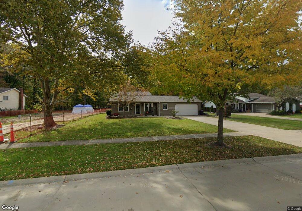
22009 Jonathan Dr Strongsville, OH 44149
Estimated Value: $273,000 - $319,000
3
Beds
1
Bath
1,635
Sq Ft
$181/Sq Ft
Est. Value
About This Home
This home is located at 22009 Jonathan Dr, Strongsville, OH 44149 and is currently estimated at $295,361, approximately $180 per square foot. 22009 Jonathan Dr is a home located in Cuyahoga County with nearby schools including Strongsville High School, St Mary School, and Sts Joseph & John Interparochial School.
Ownership History
Date
Name
Owned For
Owner Type
Purchase Details
Closed on
Jun 27, 2019
Sold by
Kline Viola M and Cummins Viola Marie
Bought by
Cummins Paul
Current Estimated Value
Purchase Details
Closed on
May 1, 1978
Sold by
Cummins Edgar J and Cummins Viola M
Bought by
Cummins Viola Marie
Purchase Details
Closed on
Jul 23, 1975
Sold by
Bowman John D
Bought by
Cummins Edgar J and Cummins Viola M
Purchase Details
Closed on
Jan 1, 1975
Bought by
Bowman John D
Create a Home Valuation Report for This Property
The Home Valuation Report is an in-depth analysis detailing your home's value as well as a comparison with similar homes in the area
Home Values in the Area
Average Home Value in this Area
Purchase History
| Date | Buyer | Sale Price | Title Company |
|---|---|---|---|
| Cummins Paul | -- | Attorney | |
| Cummins Viola Marie | -- | -- | |
| Cummins Edgar J | $47,700 | -- | |
| Bowman John D | -- | -- |
Source: Public Records
Tax History Compared to Growth
Tax History
| Year | Tax Paid | Tax Assessment Tax Assessment Total Assessment is a certain percentage of the fair market value that is determined by local assessors to be the total taxable value of land and additions on the property. | Land | Improvement |
|---|---|---|---|---|
| 2024 | $4,063 | $86,520 | $20,195 | $66,325 |
| 2023 | $4,280 | $68,360 | $19,010 | $49,350 |
| 2022 | $4,249 | $68,360 | $19,010 | $49,350 |
| 2021 | $4,216 | $68,360 | $19,010 | $49,350 |
| 2020 | $3,907 | $56,040 | $15,580 | $40,460 |
| 2019 | $3,200 | $160,100 | $44,500 | $115,600 |
| 2018 | $2,858 | $56,040 | $15,580 | $40,460 |
| 2017 | $2,863 | $51,910 | $14,910 | $37,000 |
| 2016 | $2,840 | $51,910 | $14,910 | $37,000 |
| 2015 | $2,779 | $51,910 | $14,910 | $37,000 |
| 2014 | $2,779 | $50,400 | $14,490 | $35,910 |
Source: Public Records
Map
Nearby Homes
- 8627 Courtland Dr
- 8902 Lincolnshire Blvd
- 9829 Plum Brook Ln
- 9598 Pebble Brook Ln
- 8036 Fair Rd
- 8746 Barton Dr
- 22300 Rock Creek Cir
- 0 Priem Rd
- 84 Sprague Rd
- 10353 Oak Branch Trail
- 9384 N Marks Rd
- 740 Fair St
- 243 Jananna Dr
- 104 Whitehall Dr
- 21355 Hickory Branch Trail
- 458 Sprague Rd
- 10001 N Marks Rd
- 21176 Hickory Branch Trail
- 148 Meadow Cir
- 10842 Fence Row Dr
- 22015 Jonathan Dr
- 22003 Jonathan Dr
- 22021 Jonathan Dr
- 22001 Jonathan Dr
- 8684 Ashwood Dr
- 8671 Ashwood Dr
- 21997 Jonathan Dr
- 22029 Jonathan Dr
- 8680 Ashwood Dr
- 8659 Ashwood Dr
- 22002 Jonathan Dr
- 21993 Jonathan Dr
- 22035 Jonathan Dr
- 22024 Jonathan Dr
- 8678 Ashwood Dr
- 9307 Priem Rd
- 21996 Jonathan Dr
- 8655 Ashwood Dr
- 21989 Jonathan Dr
- 22028 Jonathan Dr