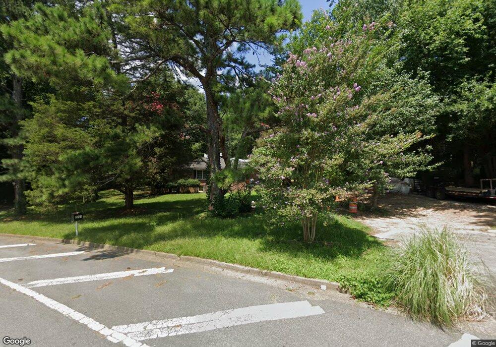
2201 Barnes Mill Rd Marietta, GA 30062
Eastern Marietta NeighborhoodEstimated Value: $519,414 - $577,000
3
Beds
2
Baths
2,370
Sq Ft
$226/Sq Ft
Est. Value
About This Home
This home is located at 2201 Barnes Mill Rd, Marietta, GA 30062 and is currently estimated at $536,354, approximately $226 per square foot. 2201 Barnes Mill Rd is a home located in Cobb County with nearby schools including Sedalia Park Elementary School, East Cobb Middle School, and Wheeler High School.
Ownership History
Date
Name
Owned For
Owner Type
Purchase Details
Closed on
Aug 8, 2002
Sold by
Salazar Maria O
Bought by
Dildar Mustafa and Dildar Ayse
Current Estimated Value
Home Financials for this Owner
Home Financials are based on the most recent Mortgage that was taken out on this home.
Original Mortgage
$173,630
Outstanding Balance
$72,665
Interest Rate
6.53%
Mortgage Type
New Conventional
Estimated Equity
$463,689
Purchase Details
Closed on
Nov 15, 1999
Sold by
Day Lottie C
Bought by
Salazar Maria O
Home Financials for this Owner
Home Financials are based on the most recent Mortgage that was taken out on this home.
Original Mortgage
$133,850
Interest Rate
7.94%
Mortgage Type
New Conventional
Create a Home Valuation Report for This Property
The Home Valuation Report is an in-depth analysis detailing your home's value as well as a comparison with similar homes in the area
Home Values in the Area
Average Home Value in this Area
Purchase History
| Date | Buyer | Sale Price | Title Company |
|---|---|---|---|
| Dildar Mustafa | $179,000 | -- | |
| Salazar Maria O | $138,000 | -- |
Source: Public Records
Mortgage History
| Date | Status | Borrower | Loan Amount |
|---|---|---|---|
| Open | Dildar Mustafa | $173,630 | |
| Previous Owner | Salazar Maria O | $133,850 |
Source: Public Records
Tax History Compared to Growth
Tax History
| Year | Tax Paid | Tax Assessment Tax Assessment Total Assessment is a certain percentage of the fair market value that is determined by local assessors to be the total taxable value of land and additions on the property. | Land | Improvement |
|---|---|---|---|---|
| 2025 | $881 | $157,444 | $103,488 | $53,956 |
| 2024 | $884 | $157,444 | $103,488 | $53,956 |
| 2023 | $678 | $157,444 | $103,488 | $53,956 |
| 2022 | $730 | $105,700 | $51,744 | $53,956 |
| 2021 | $673 | $86,728 | $41,396 | $45,332 |
| 2020 | $673 | $86,728 | $41,396 | $45,332 |
| 2019 | $1,847 | $74,116 | $33,632 | $40,484 |
| 2018 | $1,847 | $74,116 | $33,632 | $40,484 |
| 2017 | $1,771 | $74,116 | $33,632 | $40,484 |
| 2016 | $1,570 | $64,888 | $28,028 | $36,860 |
| 2015 | $1,609 | $64,888 | $28,028 | $36,860 |
| 2014 | $1,363 | $54,724 | $0 | $0 |
Source: Public Records
Map
Nearby Homes
- 2251 Roswell Rd NE
- 974 Clydesdale Dr
- 2265 Fremont Dr
- 2106 Blaylock Dr
- 2289 Fremont Dr
- 2267 Valla Parc Ct
- 951 Woodmont Dr
- 2414 Robin Hood Place NE
- 1941 Pine Bluff
- 1911 Woodmont Ct
- 2268 Orleans Ave
- 915 Chipley Ct
- 774 Mary Ann Dr NE
- 583 Spring Creek Way NE
- 507 Spring Creek Way NE Unit 2
- 2377 Emory Ln NE
- 1256 E Piedmont Rd
- 1686 Grist Mill Dr
- 905 Bradford Ln
- 903 Bradford Ln
- 907 Bradford Ln
- 882 Halston Ct
- 878 Halston Ct
- 901 Bradford Ln
- 901 Bradford Ln
- 901 Bradford Ln
- 901 Bradford Ln
- 909 Bradford Ln
- 2286 Collinworth Dr
- 2284 Collinworth Dr
- 2284 Collinworth Dr NE
- 888 Halston Ct
- 911 Bradford Ln
- 899 Bradford Ln
- 2290 Collinworth Dr
- 894 Halston Ct
- 2296 Collinworth Dr NE
- 0 Halston Ct Unit 8539918