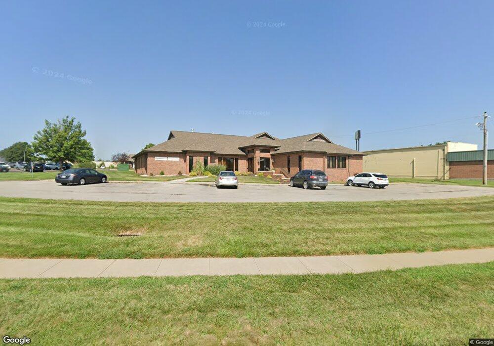
2201 SW Westport Dr Topeka, KS 66614
Southwest Topeka Neighborhood
--
Bed
--
Bath
7,054
Sq Ft
1.11
Acres
About This Home
This home is located at 2201 SW Westport Dr, Topeka, KS 66614. 2201 SW Westport Dr is a home located in Shawnee County with nearby schools including Wanamaker Elementary School, Washburn Rural Middle School, and Washburn Rural High School.
Ownership History
Date
Name
Owned For
Owner Type
Purchase Details
Closed on
Jan 3, 2020
Sold by
Darnall Building Llc
Bought by
Mt Dental Office Building Llc
Home Financials for this Owner
Home Financials are based on the most recent Mortgage that was taken out on this home.
Original Mortgage
$840,000
Outstanding Balance
$742,173
Interest Rate
3.6%
Mortgage Type
Commercial
Purchase Details
Closed on
Nov 3, 2008
Sold by
Darnall Richard T and Darnall Patricia M
Bought by
Darnall Richard T and Darnall Patricia M
Create a Home Valuation Report for This Property
The Home Valuation Report is an in-depth analysis detailing your home's value as well as a comparison with similar homes in the area
Home Values in the Area
Average Home Value in this Area
Purchase History
| Date | Buyer | Sale Price | Title Company |
|---|---|---|---|
| Mt Dental Office Building Llc | -- | Kansas Secured Title | |
| Darnall Richard T | -- | None Available |
Source: Public Records
Mortgage History
| Date | Status | Borrower | Loan Amount |
|---|---|---|---|
| Open | Mt Dental Office Building Llc | $840,000 |
Source: Public Records
Tax History Compared to Growth
Tax History
| Year | Tax Paid | Tax Assessment Tax Assessment Total Assessment is a certain percentage of the fair market value that is determined by local assessors to be the total taxable value of land and additions on the property. | Land | Improvement |
|---|---|---|---|---|
| 2025 | $30,028 | $185,225 | -- | -- |
| 2023 | $30,028 | $185,475 | $0 | $0 |
| 2022 | $29,063 | $177,525 | $0 | $0 |
| 2021 | $28,888 | $0 | $0 | $0 |
| 2020 | $28,344 | $178,700 | $0 | $0 |
| 2019 | $28,384 | $178,700 | $0 | $0 |
| 2018 | $28,197 | $178,025 | $0 | $0 |
| 2017 | $28,348 | $176,875 | $0 | $0 |
| 2014 | $28,144 | $173,625 | $0 | $0 |
Source: Public Records
Map
Nearby Homes
- 5859 SW 22nd Terrace Unit 3
- 0000 SW 22nd Terrace
- 000 U S 75
- 8008 SW 26th Terrace Unit Lot 8, Block B
- 8016 SW 26th Terrace Unit Lot 10, Block B
- 1906 SW Village Dr
- 6040 SW 25th St
- 6054 SW 25th St
- 5324 SW 24th St
- 5719 SW 27th St
- 2401 SW Crest Dr
- 2222 SW Pondview Dr
- 2124 SW Meadow Ln
- 5218 SW 28th St
- 1728 SW Fairlawn Rd
- 6351 SW 25th St
- 2433 SW Camelot Place
- 5725 SW Quail Cove Cir
- 2504 SW Kingsrow Rd
- 2952 SW Woodstock Ln
- 2155 SW Westport Dr
- 2215 SW Westport Dr
- 2235 SW Westport Dr
- 5859 SW 22nd Terrace #1
- 5859 SW 22nd Terrace Unit 2
- 5859 SW 22nd Terrace Unit 1
- 5859 SW 22nd Terrace Unit 4
- 5859 SW 22nd Terrace
- 5855 SW 22nd Terrace
- 5855 SW 22nd Terrace Unit 3
- 5855 SW 22nd Terrace Unit 2
- 5855 SW 22nd Terrace Unit 1
- 2147 SW Westport Dr
- 2210 SW Westport Dr
- 5851 SW 22nd Terrace Unit 3
- 5851 SW 22nd Terrace
- 5851 SW 22nd Terrace Unit 2
- 5851 SW 22nd Terrace
- 5851 SW 22nd Terrace Unit 4
- 5851 SW 22nd Terrace Unit 1