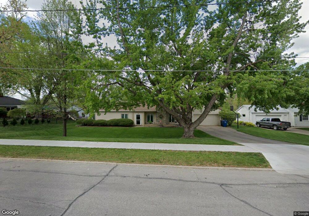
2201 Watrous Ave Des Moines, IA 50321
Southwestern Hills NeighborhoodEstimated Value: $253,154 - $362,000
2
Beds
2
Baths
1,510
Sq Ft
$196/Sq Ft
Est. Value
About This Home
This home is located at 2201 Watrous Ave, Des Moines, IA 50321 and is currently estimated at $295,539, approximately $195 per square foot. 2201 Watrous Ave is a home located in Polk County with nearby schools including Jefferson Elementary School, Brody Middle School, and Lincoln High School.
Ownership History
Date
Name
Owned For
Owner Type
Purchase Details
Closed on
Mar 24, 1999
Sold by
Goedicke Robb and Goedicke Zoe Ann
Bought by
Andersen Betty J
Current Estimated Value
Home Financials for this Owner
Home Financials are based on the most recent Mortgage that was taken out on this home.
Original Mortgage
$67,000
Outstanding Balance
$16,354
Interest Rate
6.85%
Estimated Equity
$279,185
Create a Home Valuation Report for This Property
The Home Valuation Report is an in-depth analysis detailing your home's value as well as a comparison with similar homes in the area
Home Values in the Area
Average Home Value in this Area
Purchase History
| Date | Buyer | Sale Price | Title Company |
|---|---|---|---|
| Andersen Betty J | $87,000 | -- |
Source: Public Records
Mortgage History
| Date | Status | Borrower | Loan Amount |
|---|---|---|---|
| Open | Andersen Betty J | $67,000 |
Source: Public Records
Tax History Compared to Growth
Tax History
| Year | Tax Paid | Tax Assessment Tax Assessment Total Assessment is a certain percentage of the fair market value that is determined by local assessors to be the total taxable value of land and additions on the property. | Land | Improvement |
|---|---|---|---|---|
| 2025 | $3,626 | $211,200 | $58,600 | $152,600 |
| 2024 | $3,626 | $201,800 | $55,100 | $146,700 |
| 2023 | $3,534 | $201,800 | $55,100 | $146,700 |
| 2022 | $3,504 | $158,800 | $44,300 | $114,500 |
| 2021 | $3,536 | $158,800 | $44,300 | $114,500 |
| 2020 | $3,668 | $150,300 | $41,800 | $108,500 |
| 2019 | $3,348 | $150,300 | $41,800 | $108,500 |
| 2018 | $3,308 | $133,100 | $36,400 | $96,700 |
| 2017 | $2,994 | $133,100 | $36,400 | $96,700 |
| 2016 | $2,912 | $119,200 | $32,200 | $87,000 |
| 2015 | $2,912 | $119,200 | $32,200 | $87,000 |
| 2014 | $2,782 | $117,600 | $31,300 | $86,300 |
Source: Public Records
Map
Nearby Homes
- 3901 Wakonda Dr
- 5815 Rose Cir
- 5821 Rose Cir
- 5817 Rose Cir
- 5822 Rose Cir
- 5813 Rose Cir
- 2401 Emma Ave
- 4400 SW 23rd St
- 4420 SW 23rd St
- 2371 Emma Ave
- 2390 Emma Ave
- 2350 Emma Ave
- 4491 SW 23rd St
- 4537 SW 23rd St
- 4505 SW 23rd St
- 4555 SW 23rd St
- 4469 SW 23rd Stream
- 3212 Wauwatosa Dr
- 2614 Caulder Ave
- 4440 SW 23rd St
- 2131 Watrous Ave
- 3915 Wakonda Dr
- 3821 Wakonda Dr
- 2142 Watrous Ave
- 2146 Watrous Ave
- 3912 Wakonda Dr
- 2130 Watrous Ave
- 3906 Wakonda Dr
- 2200 Watrous Ave
- 2138 Watrous Ave
- 3900 Wakonda Dr
- 2206 Watrous Ave
- 3807 Wakonda Dr
- 3824 Wakonda Dr
- 2212 Watrous Ave
- 3808 Wakonda Dr
- 2120 Thornton Dr
- 2300 Watrous Ave
- 3800 Wakonda Dr
- 2114 Thornton Dr