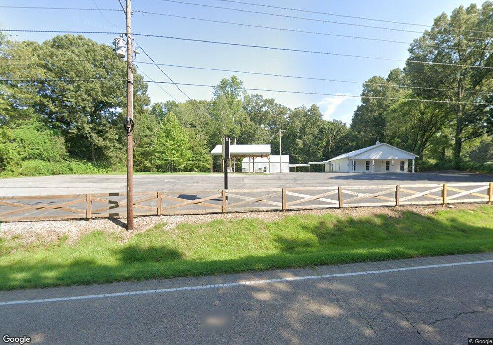
22016 Highway 79 Gadsden, TN 38337
Estimated Value: $340,000 - $464,000
--
Bed
--
Bath
3,060
Sq Ft
$128/Sq Ft
Est. Value
About This Home
This home is located at 22016 Highway 79, Gadsden, TN 38337 and is currently estimated at $390,244, approximately $127 per square foot. 22016 Highway 79 is a home located in Crockett County with nearby schools including Crockett County High School.
Ownership History
Date
Name
Owned For
Owner Type
Purchase Details
Closed on
Sep 28, 2017
Sold by
Williams Donald Charles
Bought by
Medina Community Church
Current Estimated Value
Home Financials for this Owner
Home Financials are based on the most recent Mortgage that was taken out on this home.
Original Mortgage
$166,611
Outstanding Balance
$114,661
Interest Rate
3.82%
Mortgage Type
New Conventional
Estimated Equity
$275,583
Purchase Details
Closed on
Dec 7, 1990
Bought by
Williams Don
Purchase Details
Closed on
Oct 16, 1936
Bought by
Craddock Carl Julian
Create a Home Valuation Report for This Property
The Home Valuation Report is an in-depth analysis detailing your home's value as well as a comparison with similar homes in the area
Home Values in the Area
Average Home Value in this Area
Purchase History
| Date | Buyer | Sale Price | Title Company |
|---|---|---|---|
| Medina Community Church | $187,500 | -- | |
| Williams Don | $9,000 | -- | |
| Craddock Carl Julian | -- | -- |
Source: Public Records
Mortgage History
| Date | Status | Borrower | Loan Amount |
|---|---|---|---|
| Open | Medina Community Church | $166,611 |
Source: Public Records
Tax History Compared to Growth
Tax History
| Year | Tax Paid | Tax Assessment Tax Assessment Total Assessment is a certain percentage of the fair market value that is determined by local assessors to be the total taxable value of land and additions on the property. | Land | Improvement |
|---|---|---|---|---|
| 2025 | $1,793 | $113,650 | $0 | $0 |
| 2024 | $1,793 | $79,000 | $4,975 | $74,025 |
| 2023 | $1,793 | $79,000 | $4,975 | $74,025 |
| 2022 | $1,793 | $79,000 | $4,975 | $74,025 |
| 2021 | $1,430 | $54,175 | $3,525 | $50,650 |
| 2020 | $1,401 | $54,175 | $3,525 | $50,650 |
| 2019 | $1,202 | $45,525 | $3,525 | $42,000 |
| 2018 | $1,202 | $45,525 | $3,525 | $42,000 |
| 2017 | $153 | $45,525 | $3,525 | $42,000 |
| 2016 | $153 | $5,800 | $3,525 | $2,275 |
| 2015 | $176 | $5,800 | $3,525 | $2,275 |
| 2014 | $176 | $6,673 | $0 | $0 |
Source: Public Records
Map
Nearby Homes
- 21679 U S 79
- 00 Lot#1 Humboldt Lake Rd
- 00 Lot#4 Humboldt Lake Rd
- 127 Franklin St
- 136 Mason Grove Rd
- 133 Mason St
- 397 Aubrey Fergerson Rd
- 00 Highway 45 W
- 0 Aubrey Fergerson Rd
- 580 Westside Dr
- 0 W Main St
- 76 Etheridge St Unit R
- 0 MacLin St Unit 224868
- 73 Etheridge St
- 00 Plomar Williams Rd
- 0 Plomar Williams Rd
- 214 Vine St
- 0 Humboldt Bypass Hwy
- 106 S 13th Ave
- 120 Westwood Cove
- 21877 Highway 79
- 670 Simmons Rd
- 660 Simmons Rd
- 00 Simmons Rd
- 618 Simmons Rd
- 21642 Highway 79
- 21706 Hwy 79
- 502 Simmons Rd
- 21679 Highway 79
- 21679 Hwy 79
- 484 Simmons Rd
- 364 Byrd Lake Cove
- 21668 Highway 79
- 21502 Highway 79
- 22559 Us Highway 79
- 21478 Highway 79
- 21392 Highway 79
- 1146 Simmons Rd
- 138 Tinsley Rd
- 124 Tinsley Rd