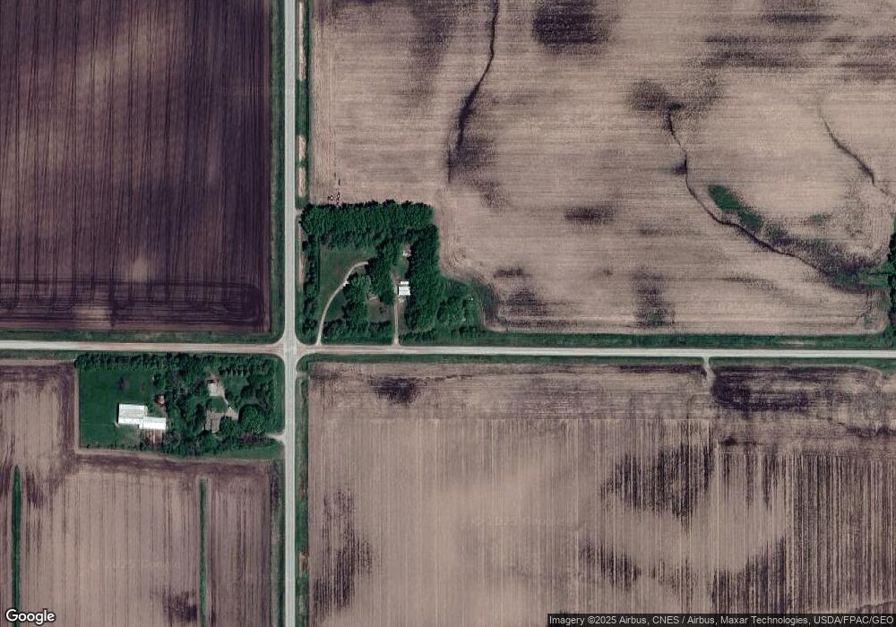
22024 275th St Mason City, IA 50401
Estimated Value: $290,000 - $433,000
3
Beds
2
Baths
1,365
Sq Ft
$257/Sq Ft
Est. Value
About This Home
This home is located at 22024 275th St, Mason City, IA 50401 and is currently estimated at $350,334, approximately $256 per square foot. 22024 275th St is a home located in Cerro Gordo County with nearby schools including Rudd-Rockford-Marble Rock Elementary School and Rockford Junior/Senior High School.
Ownership History
Date
Name
Owned For
Owner Type
Purchase Details
Closed on
Sep 26, 2017
Sold by
Trousdale William E and Trousdale Sharon K
Bought by
Stockberger Micah J and Stockberger Jessica J
Current Estimated Value
Home Financials for this Owner
Home Financials are based on the most recent Mortgage that was taken out on this home.
Original Mortgage
$232,750
Outstanding Balance
$194,412
Interest Rate
3.82%
Mortgage Type
New Conventional
Estimated Equity
$155,922
Purchase Details
Closed on
Mar 26, 1992
Sold by
Glassel Rufus J and Glassel Doris M
Bought by
Trousdale William E and Trousdale Sharon K
Home Financials for this Owner
Home Financials are based on the most recent Mortgage that was taken out on this home.
Original Mortgage
$88,000
Interest Rate
5.21%
Mortgage Type
Future Advance Clause Open End Mortgage
Create a Home Valuation Report for This Property
The Home Valuation Report is an in-depth analysis detailing your home's value as well as a comparison with similar homes in the area
Home Values in the Area
Average Home Value in this Area
Purchase History
| Date | Buyer | Sale Price | Title Company |
|---|---|---|---|
| Stockberger Micah J | -- | None Available | |
| Trousdale William E | $142,000 | None Available |
Source: Public Records
Mortgage History
| Date | Status | Borrower | Loan Amount |
|---|---|---|---|
| Open | Stockberger Micah J | $232,750 | |
| Previous Owner | Trousdale William E | $88,000 |
Source: Public Records
Tax History Compared to Growth
Tax History
| Year | Tax Paid | Tax Assessment Tax Assessment Total Assessment is a certain percentage of the fair market value that is determined by local assessors to be the total taxable value of land and additions on the property. | Land | Improvement |
|---|---|---|---|---|
| 2024 | $2,332 | $250,660 | $60,660 | $190,000 |
| 2023 | $2,590 | $250,660 | $60,660 | $190,000 |
| 2022 | $2,420 | $234,900 | $58,160 | $176,740 |
| 2021 | $2,356 | $224,190 | $58,160 | $166,030 |
| 2020 | $2,457 | $207,250 | $58,160 | $149,090 |
| 2019 | $2,424 | $0 | $0 | $0 |
| 2018 | $58 | $0 | $0 | $0 |
Source: Public Records
Map
Nearby Homes
- 212 Spring St
- Lot 1 River Oaks 1st Sub
- 0 265th St
- 61 N Yorktown Pike
- 3402 Brandywine Rd
- 380 S Yorktown Pike Unit 21
- 380 S Yorktown Pike
- 380 S Yorktown Pike Unit 30
- 8 Williamsburg Cir
- 0 N Cedar Unit 240237
- 2550 12th St NE Unit Site 2
- 0 12th NE Unit 240850
- 24 N Gaylord Ave
- 12 N Gaylord Ave
- 116 W Congress St
- 3 Deer Creek Ct
- Lot 9 Asbury 8th
- 6 Deer Creek Ct
- 701 N Iowa Ave
- 215 Woodbine Rd
