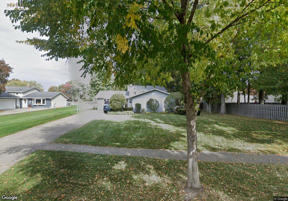
22024 Jonathan Dr Strongsville, OH 44149
Estimated Value: $301,174 - $340,000
3
Beds
2
Baths
1,896
Sq Ft
$169/Sq Ft
Est. Value
About This Home
This home is located at 22024 Jonathan Dr, Strongsville, OH 44149 and is currently estimated at $320,044, approximately $168 per square foot. 22024 Jonathan Dr is a home located in Cuyahoga County with nearby schools including Strongsville High School, St Mary School, and Sts Joseph & John Interparochial School.
Ownership History
Date
Name
Owned For
Owner Type
Purchase Details
Closed on
Nov 20, 1991
Sold by
Daniels Laurence A
Bought by
Benner Ken J
Current Estimated Value
Purchase Details
Closed on
Mar 26, 1985
Sold by
Daniels Laurence A
Bought by
Daniels Laurence A
Purchase Details
Closed on
Aug 17, 1977
Sold by
Dasher Charles E and Dasher Betty J
Bought by
Daniels Laurence A
Purchase Details
Closed on
Jan 1, 1975
Bought by
Dasher Charles E and Dasher Betty J
Create a Home Valuation Report for This Property
The Home Valuation Report is an in-depth analysis detailing your home's value as well as a comparison with similar homes in the area
Home Values in the Area
Average Home Value in this Area
Purchase History
| Date | Buyer | Sale Price | Title Company |
|---|---|---|---|
| Benner Ken J | $115,000 | -- | |
| Daniels Laurence A | -- | -- | |
| Daniels Laurence A | $61,500 | -- | |
| Dasher Charles E | -- | -- |
Source: Public Records
Tax History Compared to Growth
Tax History
| Year | Tax Paid | Tax Assessment Tax Assessment Total Assessment is a certain percentage of the fair market value that is determined by local assessors to be the total taxable value of land and additions on the property. | Land | Improvement |
|---|---|---|---|---|
| 2024 | $3,969 | $84,525 | $18,340 | $66,185 |
| 2023 | $4,314 | $68,890 | $17,260 | $51,630 |
| 2022 | $4,282 | $68,880 | $17,260 | $51,630 |
| 2021 | $4,248 | $68,880 | $17,260 | $51,630 |
| 2020 | $3,936 | $56,460 | $14,140 | $42,320 |
| 2019 | $3,820 | $161,300 | $40,400 | $120,900 |
| 2018 | $3,467 | $56,460 | $14,140 | $42,320 |
| 2017 | $3,609 | $54,400 | $13,550 | $40,850 |
| 2016 | $3,579 | $54,400 | $13,550 | $40,850 |
| 2015 | $3,525 | $54,400 | $13,550 | $40,850 |
| 2014 | $3,525 | $52,820 | $13,160 | $39,660 |
Source: Public Records
Map
Nearby Homes
- 8902 Lincolnshire Blvd
- 8627 Courtland Dr
- 9598 Pebble Brook Ln
- 9829 Plum Brook Ln
- 8746 Barton Dr
- 8036 Fair Rd
- 22300 Rock Creek Cir
- 0 Priem Rd
- 9384 N Marks Rd
- 84 Sprague Rd
- 740 Fair St
- 10353 Oak Branch Trail
- 243 Jananna Dr
- 458 Sprague Rd
- 10001 N Marks Rd
- 104 Whitehall Dr
- 21355 Hickory Branch Trail
- 148 Meadow Cir
- 21176 Hickory Branch Trail
- 10800 Meadow Trail
- 22028 Jonathan Dr
- 8680 Ashwood Dr
- 8684 Ashwood Dr
- 8678 Ashwood Dr
- 9031 Priem Rd
- 8989 Priem Rd
- 8674 Ashwood Dr
- 8985 Priem Rd
- 22029 Jonathan Dr
- 22035 Jonathan Dr
- 22021 Jonathan Dr
- 8941 Priem Rd
- 8668 Ashwood Dr
- 22015 Jonathan Dr
- 9123 Priem Rd
- 8899 Priem Rd
- 22009 Jonathan Dr
- 8666 Ashwood Dr
- 8671 Ashwood Dr
- 8659 Ashwood Dr