2203 Highway 2 Donnellson, IA 52625
Estimated Value: $412,000 - $660,812
4
Beds
3
Baths
2,227
Sq Ft
$254/Sq Ft
Est. Value
About This Home
This home is located at 2203 Highway 2, Donnellson, IA 52625 and is currently estimated at $566,271, approximately $254 per square foot. 2203 Highway 2 is a home located in Lee County with nearby schools including Fort Madison High School.
Ownership History
Date
Name
Owned For
Owner Type
Purchase Details
Closed on
Dec 18, 2023
Sold by
Leemans Rudy and Leemans Ellen
Bought by
Rudy And Ellen Leemans Living Trust and Leemans
Current Estimated Value
Purchase Details
Closed on
Jun 4, 2012
Sold by
Hennies Wayne O and Hennies Wayne
Bought by
Leemans Rudy and Leemans Ellen
Home Financials for this Owner
Home Financials are based on the most recent Mortgage that was taken out on this home.
Original Mortgage
$430,000
Interest Rate
3.92%
Mortgage Type
Future Advance Clause Open End Mortgage
Create a Home Valuation Report for This Property
The Home Valuation Report is an in-depth analysis detailing your home's value as well as a comparison with similar homes in the area
Purchase History
| Date | Buyer | Sale Price | Title Company |
|---|---|---|---|
| Rudy And Ellen Leemans Living Trust | -- | None Listed On Document | |
| Rudy And Ellen Leemans Living Trust | -- | None Listed On Document | |
| Leemans Rudy | $430,000 | None Available |
Source: Public Records
Mortgage History
| Date | Status | Borrower | Loan Amount |
|---|---|---|---|
| Previous Owner | Leemans Rudy | $430,000 |
Source: Public Records
Tax History
| Year | Tax Paid | Tax Assessment Tax Assessment Total Assessment is a certain percentage of the fair market value that is determined by local assessors to be the total taxable value of land and additions on the property. | Land | Improvement |
|---|---|---|---|---|
| 2025 | $5,568 | $525,280 | $11,670 | $513,610 |
| 2024 | $5,568 | $453,310 | $9,390 | $443,920 |
| 2023 | $5,596 | $453,310 | $9,390 | $443,920 |
| 2022 | $4,392 | $336,280 | $7,150 | $329,130 |
| 2021 | $4,392 | $336,280 | $7,150 | $329,130 |
| 2020 | $4,296 | $308,520 | $6,710 | $301,810 |
| 2019 | $4,142 | $308,520 | $6,710 | $301,810 |
| 2018 | $4,314 | $293,250 | $0 | $0 |
| 2017 | $4,314 | $276,710 | $0 | $0 |
| 2016 | $3,862 | $276,710 | $0 | $0 |
| 2015 | $3,862 | $277,360 | $0 | $0 |
| 2014 | $3,768 | $277,360 | $0 | $0 |
Source: Public Records
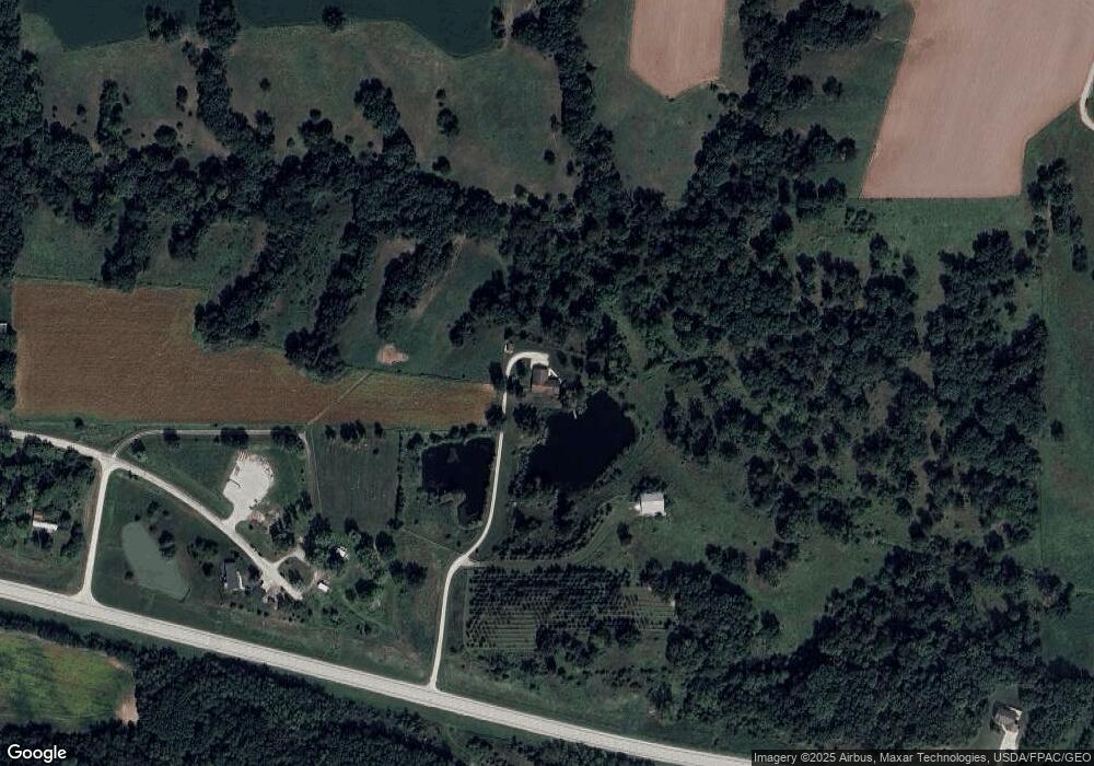
Map
Nearby Homes
- 2229 235th St
- 2388 218th St
- 107 Frkln Brdwy St
- 107 Orchard St
- 221 Chestnut St
- 603 Fruit St
- 807 Chestnut St
- 720 Pershing St
- 0 239th Ave
- 2501 265th Ave
- 0 Blues Highway & Bluff Rd
- 4991 Bluff Rd
- 53 5th St
- 4601 River Bend Sub Lot 4
- 117 Country Lane Rd
- 4945 Grand View Ln
- 2730 255th Ave
- 4915 River Valley Rd
- 4922 Grand View Ln
- 2278 Windmill Way
Your Personal Tour Guide
Ask me questions while you tour the home.