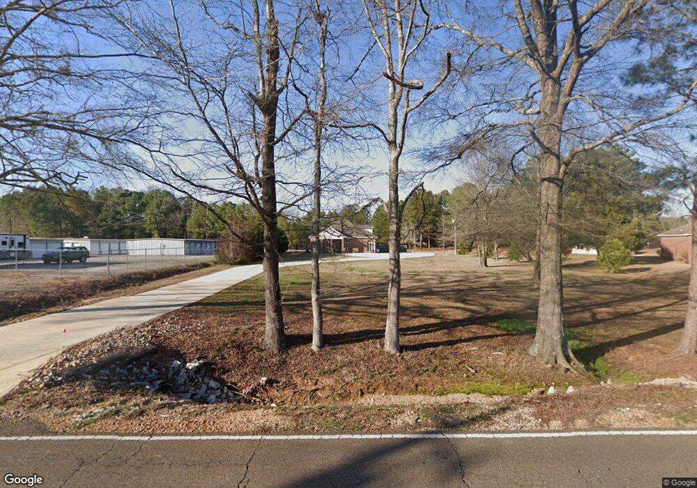
2203 Lake Lowndes Rd Columbus, MS 39702
Estimated Value: $278,000 - $374,000
3
Beds
1
Bath
2,410
Sq Ft
$134/Sq Ft
Est. Value
About This Home
This home is located at 2203 Lake Lowndes Rd, Columbus, MS 39702 and is currently estimated at $322,480, approximately $133 per square foot. 2203 Lake Lowndes Rd is a home.
Ownership History
Date
Name
Owned For
Owner Type
Purchase Details
Closed on
May 1, 2020
Sold by
Memphis Wealth Builder
Bought by
Nickoles Brittany C
Current Estimated Value
Home Financials for this Owner
Home Financials are based on the most recent Mortgage that was taken out on this home.
Original Mortgage
$181,649
Outstanding Balance
$160,459
Interest Rate
3.25%
Mortgage Type
FHA
Estimated Equity
$162,021
Purchase Details
Closed on
Apr 28, 2020
Sold by
Memphis Wealth Builder
Bought by
Nickoles Brittany C
Home Financials for this Owner
Home Financials are based on the most recent Mortgage that was taken out on this home.
Original Mortgage
$181,649
Outstanding Balance
$160,459
Interest Rate
3.25%
Mortgage Type
FHA
Estimated Equity
$162,021
Create a Home Valuation Report for This Property
The Home Valuation Report is an in-depth analysis detailing your home's value as well as a comparison with similar homes in the area
Home Values in the Area
Average Home Value in this Area
Purchase History
| Date | Buyer | Sale Price | Title Company |
|---|---|---|---|
| Nickoles Brittany C | -- | None Available | |
| Nickoles Brittany C | -- | None Available |
Source: Public Records
Mortgage History
| Date | Status | Borrower | Loan Amount |
|---|---|---|---|
| Open | Nickoles Brittany C | $181,649 | |
| Closed | Nickoles Brittany C | $181,649 |
Source: Public Records
Tax History Compared to Growth
Tax History
| Year | Tax Paid | Tax Assessment Tax Assessment Total Assessment is a certain percentage of the fair market value that is determined by local assessors to be the total taxable value of land and additions on the property. | Land | Improvement |
|---|---|---|---|---|
| 2025 | $1,330 | $16,660 | $0 | $0 |
| 2024 | $1,317 | $16,660 | $0 | $0 |
| 2023 | $1,125 | $14,741 | $0 | $0 |
| 2022 | $1,425 | $14,741 | $0 | $0 |
| 2021 | $1,373 | $14,741 | $0 | $0 |
| 2020 | $1,946 | $22,112 | $0 | $0 |
| 2019 | $1,988 | $21,966 | $0 | $0 |
| 2018 | $1,988 | $21,914 | $0 | $0 |
| 2017 | $0 | $14,609 | $0 | $0 |
| 2016 | $616 | $14,609 | $0 | $0 |
| 2015 | -- | $14,987 | $0 | $0 |
| 2014 | -- | $14,987 | $0 | $0 |
Source: Public Records
Map
Nearby Homes
- 2239 Lake Lowndes Rd
- 2287 Lake Lowndes Rd
- 129 Quail Run Dr
- 229 Quail Run Dr
- 245 Quail Run Dr
- 60 Quail Run Dr
- 112 Center Rd
- 48 Quail Run Dr
- 79 Center Rd
- 126 Quail Run Dr
- 86 Quail Run Dr
- 107 Center Rd
- 240 Quail Run Dr
- 2097 Lake Lowndes Rd
- 170 Quail Run Dr
- 158 Center Rd
- 158 Center Rd
- 141 Center Rd
- 230 Quail Run Dr
- 2379 Lake Lowndes Rd
