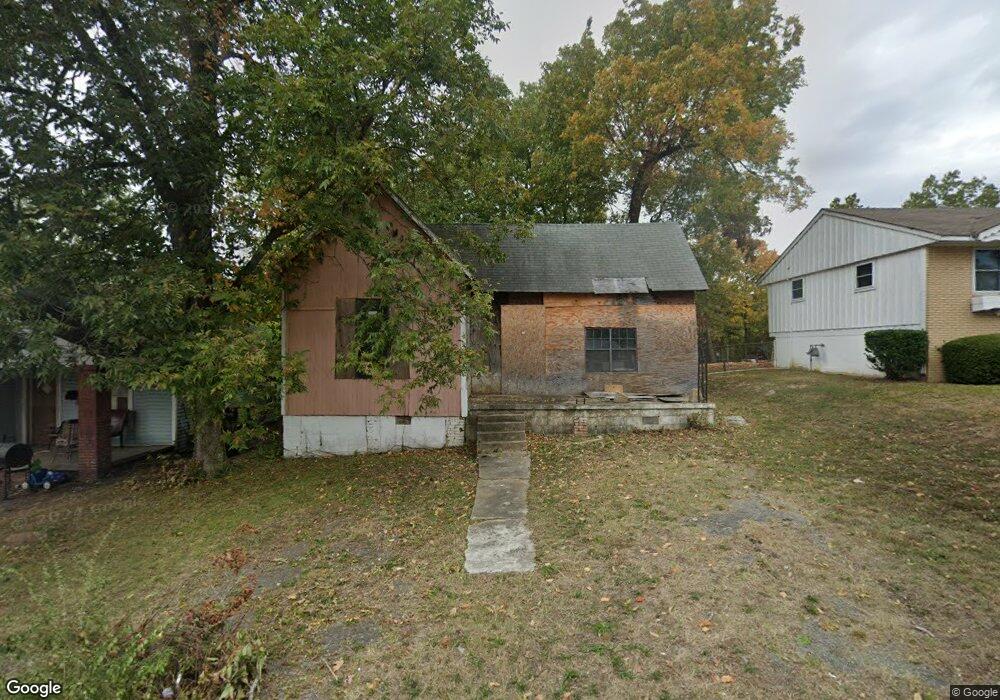
2204 Rice St Little Rock, AR 72202
Central High NeighborhoodEstimated Value: $60,000 - $123,580
--
Bed
1
Bath
916
Sq Ft
$104/Sq Ft
Est. Value
About This Home
This home is located at 2204 Rice St, Little Rock, AR 72202 and is currently estimated at $94,895, approximately $103 per square foot. 2204 Rice St is a home located in Pulaski County with nearby schools including Stephens Elementary School, Dunbar Magnet Middle School, and Central High School.
Ownership History
Date
Name
Owned For
Owner Type
Purchase Details
Closed on
Apr 1, 2025
Sold by
Commissioner Of State Lands
Bought by
Allen Mary
Current Estimated Value
Purchase Details
Closed on
Oct 1, 2012
Sold by
Watson Calvin B
Bought by
Allen Mary
Purchase Details
Closed on
Jan 13, 2009
Sold by
Robinson Eulonda
Bought by
Watson Calvin B
Purchase Details
Closed on
Feb 10, 2007
Sold by
Finley Melvin and Finley Mary
Bought by
Robinson Eulonda
Purchase Details
Closed on
Jul 29, 1999
Sold by
Duhart Donald L and Duhart Jeanette
Bought by
Thomas Mable
Purchase Details
Closed on
Jan 13, 1999
Sold by
Thomas Mable
Bought by
Duhart Donald L and Duhart Jeanette
Create a Home Valuation Report for This Property
The Home Valuation Report is an in-depth analysis detailing your home's value as well as a comparison with similar homes in the area
Home Values in the Area
Average Home Value in this Area
Purchase History
| Date | Buyer | Sale Price | Title Company |
|---|---|---|---|
| Allen Mary | $313 | None Listed On Document | |
| Allen Mary | $1,000 | None Available | |
| Watson Calvin B | -- | None Available | |
| Robinson Eulonda | $4,000 | None Available | |
| Thomas Mable | -- | -- | |
| Duhart Donald L | -- | -- |
Source: Public Records
Tax History Compared to Growth
Tax History
| Year | Tax Paid | Tax Assessment Tax Assessment Total Assessment is a certain percentage of the fair market value that is determined by local assessors to be the total taxable value of land and additions on the property. | Land | Improvement |
|---|---|---|---|---|
| 2025 | $82 | $1,166 | $800 | $366 |
| 2024 | $74 | $1,166 | $800 | $366 |
| 2023 | $74 | $1,166 | $800 | $366 |
| 2022 | $68 | $1,217 | $800 | $417 |
| 2021 | $62 | $880 | $600 | $280 |
| 2020 | $62 | $880 | $600 | $280 |
| 2019 | $62 | $880 | $600 | $280 |
| 2018 | $62 | $990 | $600 | $390 |
| 2017 | $69 | $990 | $600 | $390 |
| 2016 | $139 | $1,600 | $1,600 | $0 |
| 2015 | $112 | $1,600 | $1,600 | $0 |
| 2014 | $112 | $1,600 | $1,600 | $0 |
Source: Public Records
Map
Nearby Homes
- 2220 W 22nd St
- 2213 Dennison St
- 1910 S Woodrow St
- 1817 S Park St
- 2100 S Battery St
- 1921 Wright Ave
- 2211 W 17th St
- 1616 Dennison St
- 1905 S Battery St
- 2405 S Battery St
- 3214 Wolfe St
- 2103 Wolfe St
- 2417 Allis St
- 1724 W 19th St
- 1823 Johnson St
- 2600 S Battery St
- 1609 S Woodrow St
- 2417 Wolfe St
- 1806 Johnson St
- 1609 W Charles Bussey Ave