2204 W Point Rd West Point, IA 52656
Estimated Value: $325,000 - $355,000
4
Beds
3
Baths
2,268
Sq Ft
$150/Sq Ft
Est. Value
About This Home
This home is located at 2204 W Point Rd, West Point, IA 52656 and is currently estimated at $340,280, approximately $150 per square foot. 2204 W Point Rd is a home located in Lee County with nearby schools including Fort Madison High School.
Ownership History
Date
Name
Owned For
Owner Type
Purchase Details
Closed on
Jun 6, 2025
Sold by
Tippey Dennis D
Bought by
Tippey Nancy J and Coleman Nancy J
Current Estimated Value
Purchase Details
Closed on
Sep 21, 2007
Sold by
March Martha A
Bought by
Tippey Nancy J and Tippey Demmos D
Home Financials for this Owner
Home Financials are based on the most recent Mortgage that was taken out on this home.
Original Mortgage
$65,250
Interest Rate
6.63%
Mortgage Type
Purchase Money Mortgage
Create a Home Valuation Report for This Property
The Home Valuation Report is an in-depth analysis detailing your home's value as well as a comparison with similar homes in the area
Home Values in the Area
Average Home Value in this Area
Purchase History
| Date | Buyer | Sale Price | Title Company |
|---|---|---|---|
| Tippey Nancy J | -- | None Listed On Document | |
| Tippey Nancy J | -- | None Listed On Document | |
| Tippey Nancy J | $72,500 | None Available |
Source: Public Records
Mortgage History
| Date | Status | Borrower | Loan Amount |
|---|---|---|---|
| Previous Owner | Tippey Nancy J | $65,250 |
Source: Public Records
Tax History Compared to Growth
Tax History
| Year | Tax Paid | Tax Assessment Tax Assessment Total Assessment is a certain percentage of the fair market value that is determined by local assessors to be the total taxable value of land and additions on the property. | Land | Improvement |
|---|---|---|---|---|
| 2025 | $3,594 | $346,350 | $34,650 | $311,700 |
| 2024 | $3,594 | $304,130 | $34,650 | $269,480 |
| 2023 | $3,414 | $304,130 | $34,650 | $269,480 |
| 2022 | $3,414 | $231,340 | $30,750 | $200,590 |
| 2021 | $2,946 | $231,340 | $30,750 | $200,590 |
| 2020 | $2,996 | $219,750 | $32,600 | $187,150 |
| 2019 | $2,898 | $219,750 | $32,600 | $187,150 |
| 2018 | $3,018 | $207,310 | $0 | $0 |
| 2017 | $2,938 | $198,020 | $0 | $0 |
| 2014 | $2,526 | $179,890 | $0 | $0 |
Source: Public Records
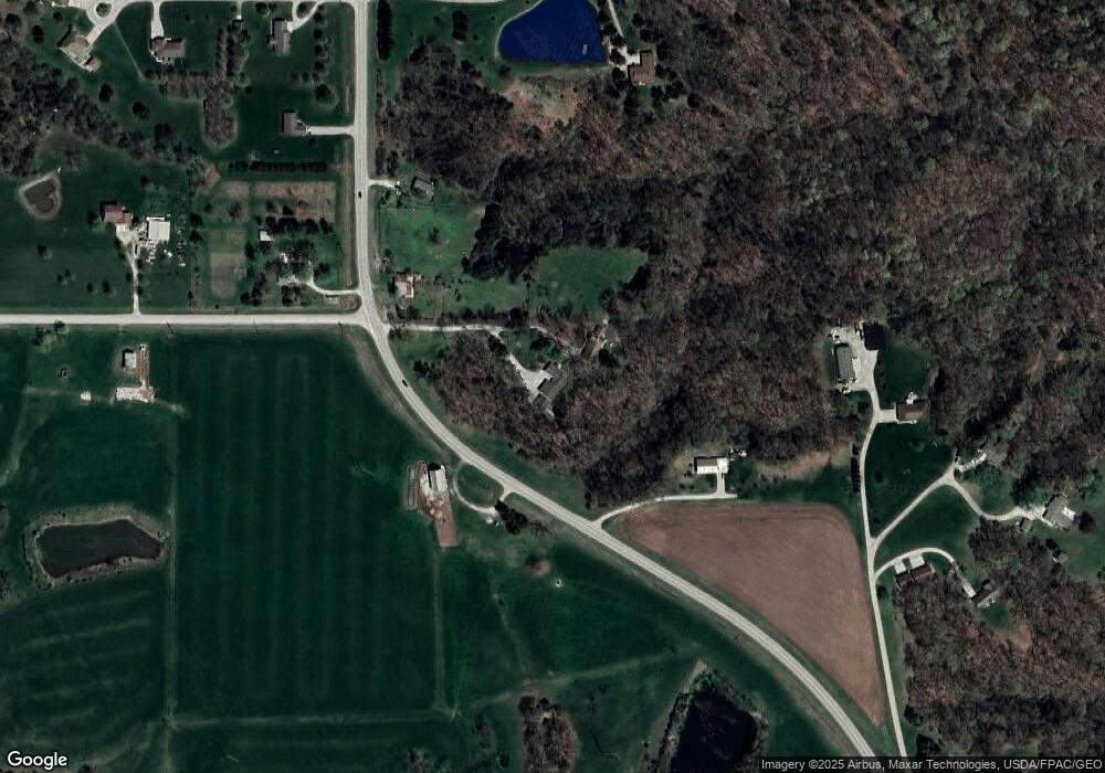
Map
Nearby Homes
- 2329 263rd Ave
- 6119 Reve Ct
- 0 Blues Highway & Bluff Rd
- 4991 Bluff Rd
- 4601 River Bend Sub Lot 4
- 4945 Grand View Ln Unit 4945
- 2794 221st St
- 1123 48th St Unit 20
- 0 N Hillview Vil
- 4315 Avenue L
- 1522 39th St
- RR Woodland Heights Ct
- 2229 235th St
- 706 34th Place
- 1005 34th St
- 3401 Avenue L
- 806 34th St
- 221 Vica Ln
- 225 Vica Ln
- 37 Alta Dr
- 2202 W Point Rd
- 2208 W Point Rd
- 2194 W Point Rd
- 2197 W Point Rd
- 2190 W Point Rd
- 2207 256th Ave
- 2189 W Point Rd
- 2224 W Point Rd
- 2226 W Point Rd
- 2214 256th Ave
- 2183 W Point Rd
- 2523 218th St
- 2 Cedar Ln
- 2527 Cedar Ln
- 2179 W Point Rd
- 2210 256th Ave
- 2206 256th Ave
- 2175 W Point Rd
- 2519 Cedar Ln
- 2176 W Point Rd