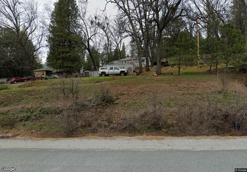
22041 State Highway 88 Pine Grove, CA 95665
Estimated Value: $185,000 - $262,000
2
Beds
1
Bath
1,048
Sq Ft
$221/Sq Ft
Est. Value
About This Home
This home is located at 22041 State Highway 88, Pine Grove, CA 95665 and is currently estimated at $231,985, approximately $221 per square foot. 22041 State Highway 88 is a home with nearby schools including Pine Grove Elementary STEM School, Jackson Junior High School, and Argonaut High School.
Ownership History
Date
Name
Owned For
Owner Type
Purchase Details
Closed on
May 18, 2017
Sold by
Marks Lewis M
Bought by
Marks Lewis M and Marks Alice F
Current Estimated Value
Purchase Details
Closed on
Sep 4, 2003
Sold by
Marks Alice F
Bought by
Marks Lewis M
Purchase Details
Closed on
Apr 2, 2002
Sold by
Xu Mei Nay
Bought by
Vardanega Robert
Home Financials for this Owner
Home Financials are based on the most recent Mortgage that was taken out on this home.
Original Mortgage
$45,000
Interest Rate
6.78%
Mortgage Type
Seller Take Back
Purchase Details
Closed on
Nov 27, 2001
Sold by
Tanton Jessie L and Tanton L J
Bought by
Estate Of Lynn R Awbrey
Create a Home Valuation Report for This Property
The Home Valuation Report is an in-depth analysis detailing your home's value as well as a comparison with similar homes in the area
Home Values in the Area
Average Home Value in this Area
Purchase History
| Date | Buyer | Sale Price | Title Company |
|---|---|---|---|
| Marks Lewis M | -- | None Available | |
| Marks Lewis M | -- | First American Title Co | |
| Marks Lewis M | $93,500 | First American Title Co | |
| Vardanega Robert | -- | Amador Title Company | |
| Vardanega Robert | $65,000 | Amador Title Company | |
| Estate Of Lynn R Awbrey | $64,312 | Amador Title Co |
Source: Public Records
Mortgage History
| Date | Status | Borrower | Loan Amount |
|---|---|---|---|
| Previous Owner | Vardanega Robert | $45,000 |
Source: Public Records
Tax History Compared to Growth
Tax History
| Year | Tax Paid | Tax Assessment Tax Assessment Total Assessment is a certain percentage of the fair market value that is determined by local assessors to be the total taxable value of land and additions on the property. | Land | Improvement |
|---|---|---|---|---|
| 2025 | $1,414 | $132,917 | $92,406 | $40,511 |
| 2024 | $1,414 | $130,312 | $90,595 | $39,717 |
| 2023 | $1,386 | $127,758 | $88,819 | $38,939 |
| 2022 | $1,313 | $125,254 | $87,078 | $38,176 |
| 2021 | $1,288 | $122,799 | $85,371 | $37,428 |
| 2020 | $1,275 | $121,541 | $84,496 | $37,045 |
| 2019 | $1,250 | $119,159 | $82,840 | $36,319 |
| 2018 | $1,226 | $116,823 | $81,216 | $35,607 |
| 2017 | $1,202 | $114,533 | $79,624 | $34,909 |
| 2016 | $1,179 | $112,288 | $78,063 | $34,225 |
| 2015 | -- | $110,602 | $76,891 | $33,711 |
| 2014 | -- | $99,857 | $74,272 | $25,585 |
Source: Public Records
Map
Nearby Homes
- 14100 Greenleaf Ln
- 22256 Valley View Ct
- 21821 Homestead Rd
- 21750 Homestead Rd
- 0 Homestead Unit 225020801
- 22596 Alaire Ln
- 22800 Alaire Ln
- 12105 Blackberry Ln
- 23205 Roden Ln
- 21000 French Gulch Rd
- 14671 Marilyn Ln
- 23420 Robin Rd
- 0 Old Giannini Ranch Rd
- 23445 Robin Rd
- 14481 Bobbie Ln
- 14955 Raven Rd
- 23568 Robin Rd
- 23201 Fortress Ct
- 20117 Neilson Rd
- 14543 Kathy Ln
- 22085 Meadowbrook Dr
- 22095 Meadowbrook Dr
- 22061 Meadowbrook Dr
- 22105 Meadowbrook Dr
- 22011 Meadowbrook Dr
- 22090 Meadowbrook Dr
- 22161 State Highway 88
- 22070 Meadowbrook Dr
- 22135 Meadowbrook Dr
- 22110 Meadowbrook Dr
- 22048 Meadowbrook Dr
- 21953 Ranch Rd
- 13935 Dogwood Ct
- 22006 Meadowbrook Dr
- 13895 Shadow Glen Ct
- 13945 Dogwood Ct
- 13825 Shadow Glen Ct
- 13817 Shadow Glen Ct
- 22004 Meadowbrook Dr
- 13955 Dogwood Ct