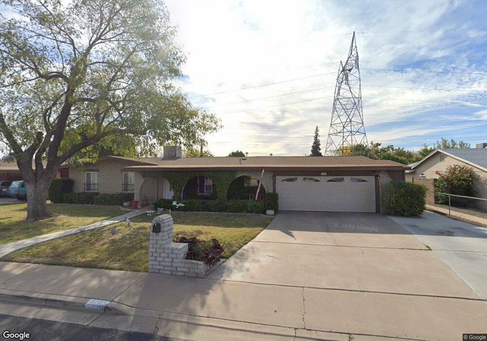
2205 E Decatur St Mesa, AZ 85213
North Central Mesa NeighborhoodEstimated Value: $407,000 - $513,000
Studio
2
Baths
1,545
Sq Ft
$291/Sq Ft
Est. Value
About This Home
This home is located at 2205 E Decatur St, Mesa, AZ 85213 and is currently estimated at $450,056, approximately $291 per square foot. 2205 E Decatur St is a home located in Maricopa County with nearby schools including Field Elementary School, Franklin at Brimhall Elementary School, and Franklin West Elementary School.
Ownership History
Date
Name
Owned For
Owner Type
Purchase Details
Closed on
Mar 25, 2025
Sold by
Richard And Sharla Porter Family Trust and Porter Richard C
Bought by
Shipp Dallin and Shipp Britni
Current Estimated Value
Home Financials for this Owner
Home Financials are based on the most recent Mortgage that was taken out on this home.
Original Mortgage
$410,000
Outstanding Balance
$406,757
Interest Rate
6.76%
Mortgage Type
New Conventional
Estimated Equity
$43,299
Purchase Details
Closed on
Feb 28, 2022
Sold by
Porter Richard C and Porter Sharla K
Bought by
Richard And Sharla Porter Family Trust and Porter
Create a Home Valuation Report for This Property
The Home Valuation Report is an in-depth analysis detailing your home's value as well as a comparison with similar homes in the area
Home Values in the Area
Average Home Value in this Area
Purchase History
| Date | Buyer | Sale Price | Title Company |
|---|---|---|---|
| Shipp Dallin | $410,000 | None Listed On Document | |
| Richard And Sharla Porter Family Trust | -- | None Listed On Document |
Source: Public Records
Mortgage History
| Date | Status | Borrower | Loan Amount |
|---|---|---|---|
| Open | Shipp Dallin | $410,000 |
Source: Public Records
Tax History
| Year | Tax Paid | Tax Assessment Tax Assessment Total Assessment is a certain percentage of the fair market value that is determined by local assessors to be the total taxable value of land and additions on the property. | Land | Improvement |
|---|---|---|---|---|
| 2025 | $1,486 | $17,890 | -- | -- |
| 2024 | $1,502 | $17,038 | -- | -- |
| 2023 | $1,502 | $31,020 | $3,450 | $27,570 |
| 2022 | $1,469 | $23,690 | $2,640 | $21,050 |
| 2021 | $1,509 | $22,250 | $2,480 | $19,770 |
| 2020 | $1,489 | $19,860 | $2,210 | $17,650 |
| 2019 | $1,380 | $17,550 | $1,950 | $15,600 |
| 2018 | $1,317 | $17,800 | $1,980 | $15,820 |
| 2017 | $1,276 | $15,580 | $1,730 | $13,850 |
| 2016 | $1,253 | $14,360 | $1,600 | $12,760 |
| 2015 | $1,183 | $13,410 | $1,490 | $11,920 |
Source: Public Records
Map
Nearby Homes
- 2214 E Contessa Cir
- 655 N Gentry Cir
- 2267 E Caballero Cir
- 2041 E Des Moines St
- 748 N 22nd St
- 2062 E Downing St
- 715 N Gilbert Rd
- 2301 E Enrose St
- 2416 E University Dr Unit 4
- 721 N 25th St
- 2458 E University Dr Unit 2
- 432 N Whiting
- 2322 E Evergreen St
- 2301 E University Dr Unit 209
- 2301 E University Dr Unit 494
- 2301 E University Dr Unit 341
- 2301 E University Dr Unit 505
- 2301 E University Dr Unit 144
- 2435 E Evergreen St
- 220 N 22nd Place Unit 1011
- 2213 E Decatur St
- 2155 E Decatur St
- 2204 E Decatur St
- 2221 E Decatur St
- 2145 E Decatur St
- 2212 E Decatur St
- 625 N 22nd St
- 2220 E Decatur St
- 2164 E Covina St
- 633 N 22nd St
- 2207 E Des Moines Cir
- 2215 E Des Moines Cir
- 2138 E Decatur St
- 2235 E Decatur St
- 2223 E Des Moines Cir
- 2208 E Contessa Cir
- 2129 E Decatur St
- 2234 E Decatur St
- 2220 E Contessa Cir
- 643 N 22nd St
Your Personal Tour Guide
Ask me questions while you tour the home.