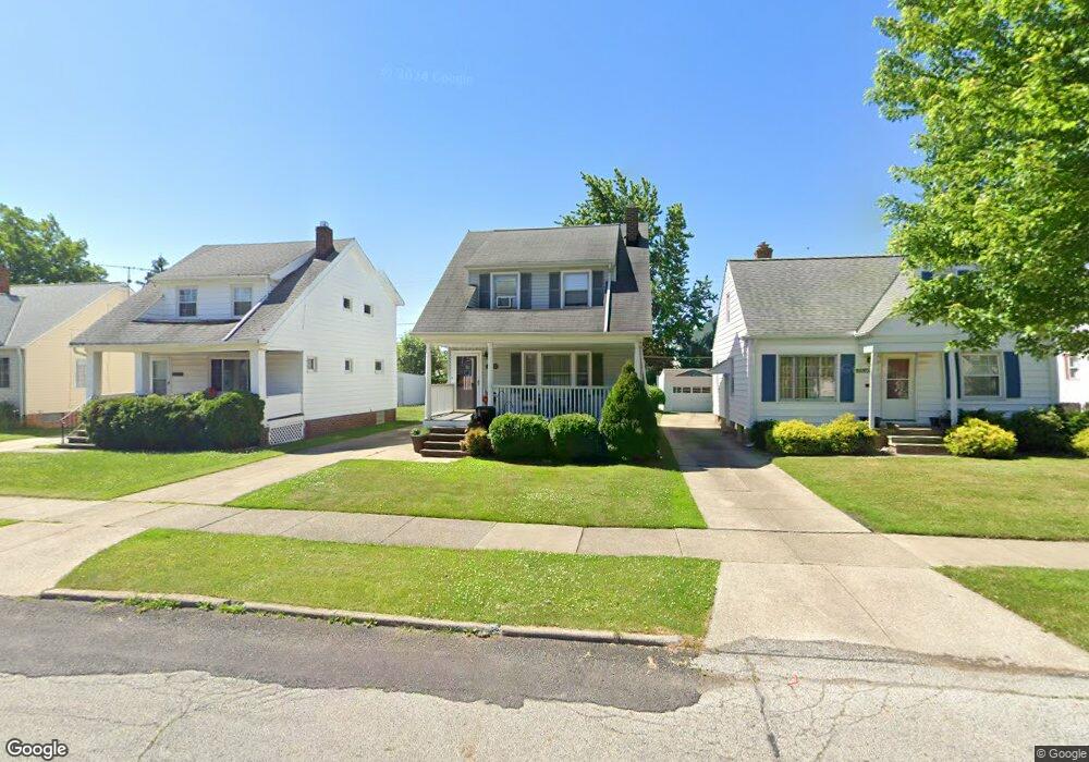
22050 Priday Ave Euclid, OH 44123
Estimated Value: $98,000 - $117,000
2
Beds
1
Bath
1,152
Sq Ft
$93/Sq Ft
Est. Value
About This Home
This home is located at 22050 Priday Ave, Euclid, OH 44123 and is currently estimated at $107,067, approximately $92 per square foot. 22050 Priday Ave is a home located in Cuyahoga County with nearby schools including Arbor Elementary School, Euclid Middle School, and Euclid High School.
Ownership History
Date
Name
Owned For
Owner Type
Purchase Details
Closed on
Jul 18, 1989
Sold by
Kelly Walter T
Bought by
Miller Richard A
Current Estimated Value
Purchase Details
Closed on
Oct 4, 1985
Sold by
Kelly Walter T
Bought by
Kelly Walter T
Purchase Details
Closed on
Oct 17, 1979
Sold by
Kelly Walter T and Kelly Laverne E
Bought by
Kelly Walter T
Purchase Details
Closed on
Jan 1, 1975
Bought by
Kelly Walter T and Kelly Laverne E
Create a Home Valuation Report for This Property
The Home Valuation Report is an in-depth analysis detailing your home's value as well as a comparison with similar homes in the area
Home Values in the Area
Average Home Value in this Area
Purchase History
We collect this data history from publicly available records. To have your information removed, we recommend requesting removal directly through your county’s website.
| Date | Buyer | Sale Price | Title Company |
|---|---|---|---|
| Miller Richard A | $48,000 | -- | |
| Kelly Walter T | -- | -- | |
| Kelly Walter T | -- | -- | |
| Kelly Walter T | -- | -- |
Source: Public Records
Tax History
| Year | Tax Paid | Tax Assessment Tax Assessment Total Assessment is a certain percentage of the fair market value that is determined by local assessors to be the total taxable value of land and additions on the property. | Land | Improvement |
|---|---|---|---|---|
| 2025 | $1,996 | $29,190 | $7,420 | $21,770 |
| 2024 | $2,063 | $29,190 | $7,420 | $21,770 |
| 2023 | $2,045 | $23,170 | $5,810 | $17,360 |
| 2022 | $2,000 | $23,170 | $5,810 | $17,360 |
| 2021 | $2,219 | $23,170 | $5,810 | $17,360 |
| 2020 | $1,872 | $17,570 | $4,410 | $13,160 |
| 2019 | $1,679 | $50,200 | $12,600 | $37,600 |
| 2018 | $1,694 | $17,570 | $4,410 | $13,160 |
| 2017 | $1,723 | $14,910 | $2,940 | $11,970 |
| 2016 | $1,727 | $14,910 | $2,940 | $11,970 |
| 2015 | $2,413 | $14,910 | $2,940 | $11,970 |
| 2014 | $2,413 | $14,910 | $2,940 | $11,970 |
Source: Public Records
Map
Nearby Homes
- 21771 Ball Ave
- 21570 Priday Ave
- 21481 Ball Ave
- 21351 Crystal Ave
- 21270 Priday Ave
- 21391 Westport Ave
- 21181 Ball Ave
- 21731 Maydale Ave
- 21300 Wilmore Ave
- 367 E 211th St
- 21250 Wilmore Ave
- 442 Clearview Dr Unit U9
- 21000 Crystal Ave
- 20980 Priday Ave
- 21170 Wilmore Ave
- 422 Clearview Dr Unit J10
- 414 E 222nd St
- 22350 Tracy Ave
- 20900 Priday Ave
- 21001 Wilmore Ave
- 22070 Priday Ave
- 22000 Priday Ave
- 21958 Priday Ave
- 22031 Fuller Ave
- 22051 Fuller Ave
- 22001 Fuller Ave
- 21950 Priday Ave
- 22101 Fuller Ave
- 21975 Fuller Ave
- 22051 Priday Ave
- 21930 Priday Ave
- 21951 Fuller Ave
- 22001 Priday Ave
- 22071 Priday Ave
- 590 E 222nd St
- 600 E 222nd St
- 22101 Priday Ave
- 21971 Priday Ave
- 604 E 222nd St
- 21931 Fuller Ave
Your Personal Tour Guide
Ask me questions while you tour the home.