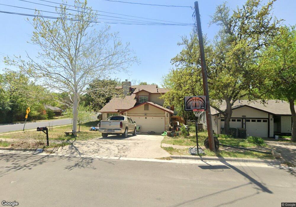
2206 Lancaster St San Marcos, TX 78666
Castle Forest NeighborhoodEstimated Value: $294,809 - $325,000
--
Bed
--
Bath
1,515
Sq Ft
$203/Sq Ft
Est. Value
About This Home
This home is located at 2206 Lancaster St, San Marcos, TX 78666 and is currently estimated at $307,202, approximately $202 per square foot. 2206 Lancaster St is a home located in Hays County with nearby schools including Crockett Elementary School, Dorris Miller Middle School, and San Marcos High School.
Ownership History
Date
Name
Owned For
Owner Type
Purchase Details
Closed on
Nov 21, 2005
Sold by
Black Willie J and Black Lisandra A
Bought by
Soza Maria
Current Estimated Value
Home Financials for this Owner
Home Financials are based on the most recent Mortgage that was taken out on this home.
Original Mortgage
$94,320
Outstanding Balance
$51,743
Interest Rate
6.06%
Mortgage Type
Fannie Mae Freddie Mac
Estimated Equity
$255,459
Purchase Details
Closed on
Jun 10, 1999
Sold by
Chambliss Seth V and Chambliss Kerry L
Bought by
Soza Maria
Create a Home Valuation Report for This Property
The Home Valuation Report is an in-depth analysis detailing your home's value as well as a comparison with similar homes in the area
Home Values in the Area
Average Home Value in this Area
Purchase History
| Date | Buyer | Sale Price | Title Company |
|---|---|---|---|
| Soza Maria | -- | -- | |
| Soza Maria | -- | -- |
Source: Public Records
Mortgage History
| Date | Status | Borrower | Loan Amount |
|---|---|---|---|
| Open | Soza Maria | $94,320 |
Source: Public Records
Tax History Compared to Growth
Tax History
| Year | Tax Paid | Tax Assessment Tax Assessment Total Assessment is a certain percentage of the fair market value that is determined by local assessors to be the total taxable value of land and additions on the property. | Land | Improvement |
|---|---|---|---|---|
| 2025 | $3,794 | $274,900 | -- | -- |
| 2024 | $3,794 | $249,909 | $69,320 | $240,560 |
| 2023 | $4,321 | $227,190 | $69,320 | $254,500 |
| 2022 | $4,233 | $206,536 | $62,970 | $184,580 |
| 2021 | $4,138 | $187,760 | $37,660 | $150,100 |
| 2020 | $3,633 | $179,320 | $36,910 | $142,410 |
| 2019 | $4,300 | $174,690 | $36,910 | $137,780 |
| 2018 | $4,027 | $162,850 | $22,000 | $140,850 |
| 2017 | $3,631 | $151,030 | $15,950 | $135,080 |
| 2016 | $3,413 | $141,970 | $15,950 | $126,020 |
| 2015 | $2,768 | $134,550 | $15,950 | $118,600 |
Source: Public Records
Map
Nearby Homes
- 2203 Lancaster St
- 1931 Lisa Ln
- 2003 Lisa Ln
- 2022 Ridge View Dr
- 1837 Pearce Ct
- 1805 Ramona Cir
- 1809 Pearce Ct
- 1919 Castle Gate Cir
- 2007 Castle Gate Cir
- 108 Dolly St
- 609 Chicago St
- 1610 Ramona Cir
- TBD LOT 2 Old Ranch Road 12
- TBD LOT 1 Old Ranch Road 12
- 412 Craddock Ave
- 0 Old Ranch Road 12
- 1007 Earle St
- 415 W Salamander St
- 205 Hughson Dr
- 114 Algarita St
- 2204 Lancaster St
- 2004 Ramona Cir
- 101 Spring Hollow St
- 2001 Ramona Cir
- 2003 Ramona Cir
- 1930 Ramona Cir
- 2006 Ramona Cir
- 2005 Ramona Cir
- 1927 Ramona Cir
- 103 Spring Hollow St
- 2205 Lancaster St
- 1925 Ramona Cir
- 105 Spring Hollow St
- 2010 Ramona Cir
- 2007 Ramona Cir
- 2008 Ramona Cir
- 1926 Ramona Cir
- 1923 Ramona Cir
- 2009 Ramona Cir
- 2012 Ramona Cir