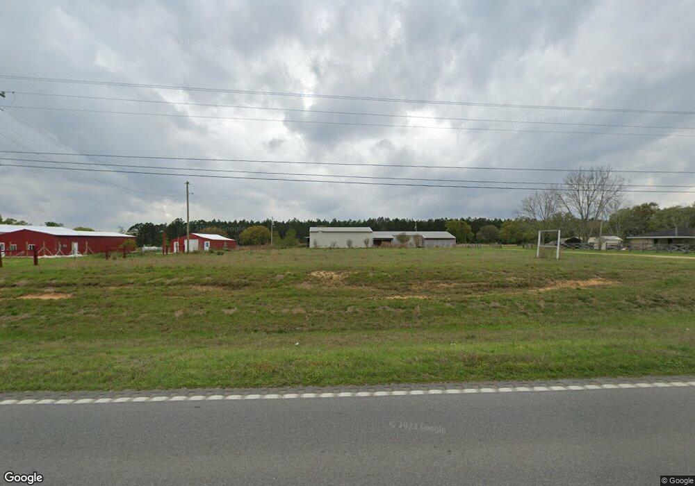
22061 Highway 43 Picayune, MS 39466
Estimated Value: $213,039
--
Bed
--
Bath
22,742
Sq Ft
$9/Sq Ft
Est. Value
About This Home
This home is located at 22061 Highway 43, Picayune, MS 39466 and is currently priced at $213,039, approximately $9 per square foot. 22061 Highway 43 is a home located in Hancock County with nearby schools including West Hancock Elementary School, Hancock Middle School, and Hancock High School.
Ownership History
Date
Name
Owned For
Owner Type
Purchase Details
Closed on
Oct 13, 2023
Sold by
Onemain Fin'L Services Inc
Bought by
Ladner Destre
Current Estimated Value
Home Financials for this Owner
Home Financials are based on the most recent Mortgage that was taken out on this home.
Original Mortgage
$169,600
Interest Rate
7.63%
Mortgage Type
New Conventional
Purchase Details
Closed on
Feb 7, 2022
Sold by
Mccalla Raymer Leibert Pierce Llc
Bought by
Onemain Financial Services Inc
Create a Home Valuation Report for This Property
The Home Valuation Report is an in-depth analysis detailing your home's value as well as a comparison with similar homes in the area
Home Values in the Area
Average Home Value in this Area
Purchase History
| Date | Buyer | Sale Price | Title Company |
|---|---|---|---|
| Ladner Destre | $212,000 | None Listed On Document | |
| Ladner Destre | $212,000 | None Listed On Document | |
| Ladner Destre | $212,000 | None Listed On Document | |
| Onemain Financial Services Inc | $275,843 | None Listed On Document |
Source: Public Records
Mortgage History
| Date | Status | Borrower | Loan Amount |
|---|---|---|---|
| Previous Owner | Ladner Destre | $169,600 |
Source: Public Records
Tax History Compared to Growth
Tax History
| Year | Tax Paid | Tax Assessment Tax Assessment Total Assessment is a certain percentage of the fair market value that is determined by local assessors to be the total taxable value of land and additions on the property. | Land | Improvement |
|---|---|---|---|---|
| 2024 | $3,560 | $37,377 | $2,772 | $34,605 |
| 2023 | $3,603 | $37,827 | $2,784 | $35,043 |
| 2022 | $3,245 | $34,075 | $2,796 | $31,279 |
| 2021 | $3,247 | $34,088 | $2,809 | $31,279 |
| 2020 | $3,110 | $31,485 | $2,822 | $28,663 |
| 2019 | $3,112 | $31,498 | $2,835 | $28,663 |
| 2018 | $3,348 | $33,892 | $2,848 | $31,044 |
| 2017 | $3,350 | $33,907 | $2,863 | $31,044 |
| 2016 | $3,262 | $33,873 | $2,829 | $31,044 |
| 2015 | $2,855 | $31,250 | $3,022 | $28,228 |
| 2014 | $2,788 | $31,163 | $3,024 | $28,139 |
| 2013 | $2,686 | $31,135 | $2,996 | $28,139 |
Source: Public Records
Map
Nearby Homes
- 23280 Leetown Rd
- 20228 Lewis Ln
- S Leetown and Highway 43
- 0 S Leetown and Highway 43 Hwy Unit 4067215
- 24220 Autumn Ln
- 24205 Autumn Place
- 24180 Autumn Place
- 24100 Autumn Place
- 12201 E Pointe Dr
- 0 Highway 43 Parcel 2
- 0 Highway 43 Parcel 1 and 2
- 24094 Rester Rd
- 0 Highway 43 Parcel 1
- 5067 Crescent Ridge Dr
- 7711 Cuevas Town Rd
- 5029 Crescent Ridge Dr
- 8289 Ridgewood Dr
- 8185 Ridgewood Rd
- 12009 Circle G Ranch Rd
- Lot 99 Ridgewood Rd
- 22061 Highway 43
- 22061 Highway 43
- 22069 Highway 43
- 22033 Highway 43
- 22101 Highway 43
- 21120 Road 203
- 21490 Highway 43
- 21485 Highway 43
- 0 Hwy 43 S Browns Rd Unit 3343602
- 10007 Browns Rd
- 10010 Browns Rd
- 22273 Highway 43
- 10063 Wehie Camp Rd
- 9361 Browns Rd
- 9341 Browns Rd
- 10095 Wehie Camp Rd
- 10150 Wehie Camp Rd
- 9380 Browns Rd
- 9000 Ashley Cove
- 21368 Highway 43