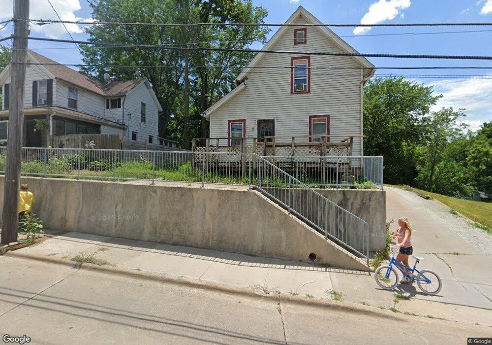
2207 E Locust St Davenport, IA 52803
East End NeighborhoodEstimated Value: $102,000 - $165,000
2
Beds
2
Baths
1,191
Sq Ft
$106/Sq Ft
Est. Value
About This Home
This home is located at 2207 E Locust St, Davenport, IA 52803 and is currently estimated at $126,536, approximately $106 per square foot. 2207 E Locust St is a home located in Scott County with nearby schools including McKinley Elementary School, Casey County Middle School, and Hopkinsville Middle School.
Ownership History
Date
Name
Owned For
Owner Type
Purchase Details
Closed on
Nov 2, 2006
Sold by
Daniels Angela and Dumolien Thomas
Bought by
Netbank
Current Estimated Value
Purchase Details
Closed on
Jul 11, 2006
Sold by
Netbank
Bought by
Federal National Mortgage Association
Create a Home Valuation Report for This Property
The Home Valuation Report is an in-depth analysis detailing your home's value as well as a comparison with similar homes in the area
Home Values in the Area
Average Home Value in this Area
Purchase History
| Date | Buyer | Sale Price | Title Company |
|---|---|---|---|
| Netbank | $68,239 | None Available | |
| Federal National Mortgage Association | $68,500 | None Available |
Source: Public Records
Tax History Compared to Growth
Tax History
| Year | Tax Paid | Tax Assessment Tax Assessment Total Assessment is a certain percentage of the fair market value that is determined by local assessors to be the total taxable value of land and additions on the property. | Land | Improvement |
|---|---|---|---|---|
| 2025 | $1,667 | $93,320 | $15,890 | $77,430 |
| 2024 | $1,338 | $76,730 | $15,890 | $60,840 |
| 2023 | $1,354 | $76,730 | $15,890 | $60,840 |
| 2022 | $1,530 | $63,400 | $9,530 | $53,870 |
| 2021 | $1,360 | $63,400 | $9,530 | $53,870 |
| 2020 | $1,322 | $60,830 | $9,530 | $51,300 |
| 2019 | $1,308 | $58,270 | $9,530 | $48,740 |
| 2018 | $1,280 | $58,270 | $9,530 | $48,740 |
| 2017 | $1,324 | $58,270 | $9,530 | $48,740 |
| 2016 | $1,276 | $58,270 | $0 | $0 |
| 2015 | $1,276 | $64,490 | $0 | $0 |
| 2014 | $1,432 | $64,490 | $0 | $0 |
| 2013 | $1,408 | $0 | $0 | $0 |
| 2012 | -- | $63,520 | $6,580 | $56,940 |
Source: Public Records
Map
Nearby Homes
- 1815 Belle Ave
- 1803 Belle Ave
- 2316 E Pleasant St
- 1504 Christie St
- 2316 East St
- 1704 Jersey Ridge Rd
- 1515 Jersey Ridge Rd
- 1734 Ridgewood Ave
- 2103 E Lombard St
- 2125 Eastern Ave
- 1233 Eastern Ave
- 2618 Elm St
- 2704 E High St
- 2429 E Central Park Ave
- 1325 Mississippi Ave
- 9 Parkwood Dr
- 2131 Lorton Ave
- 1626 Esplanade Ave
- 1616 Esplanade Ave
- 1202 Adams St
- 2209 E Locust St
- 2203 E Locust St
- 1831 Christie St
- 2217 E Locust St
- 1816 Belle Ave
- 1719 Christie St
- 0 Christie Unit 4125286
- 0 Christie Unit 4175341
- 0 Christie Unit QC4225107
- 1810 Belle Ave
- 2216 E Locust St
- 2216 - 2218 E Locust
- 2218 E Locust St
- 1822 Belle Ave
- 2202 - 2202 1 2 E Locust
- 1804 Belle Ave
- 1715 Christie St
- 2134 E Locust St
- 2117 E Locust St
- 1716 Christie St