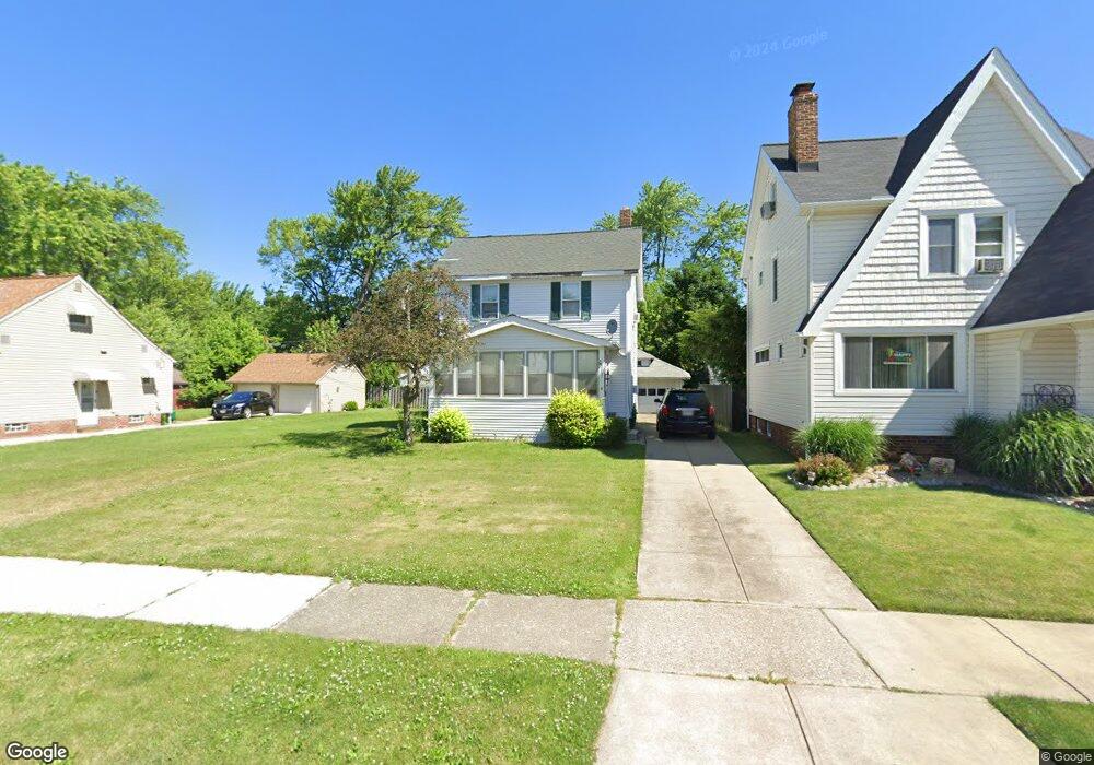
22071 Priday Ave Euclid, OH 44123
Estimated Value: $110,543 - $171,000
3
Beds
2
Baths
960
Sq Ft
$143/Sq Ft
Est. Value
About This Home
This home is located at 22071 Priday Ave, Euclid, OH 44123 and is currently estimated at $137,386, approximately $143 per square foot. 22071 Priday Ave is a home located in Cuyahoga County with nearby schools including Arbor Elementary School, Euclid Middle School, and Euclid High School.
Ownership History
Date
Name
Owned For
Owner Type
Purchase Details
Closed on
Oct 9, 2008
Sold by
Baron Daniel F and Baron Annmarie
Bought by
Hankins Lashonda D
Current Estimated Value
Home Financials for this Owner
Home Financials are based on the most recent Mortgage that was taken out on this home.
Original Mortgage
$71,950
Outstanding Balance
$47,845
Interest Rate
6.43%
Mortgage Type
FHA
Estimated Equity
$89,541
Purchase Details
Closed on
Oct 31, 1986
Sold by
Weybrecht Cyril A
Bought by
Baron Daniel F
Purchase Details
Closed on
Jan 1, 1975
Bought by
Weybrecht Cyril A
Create a Home Valuation Report for This Property
The Home Valuation Report is an in-depth analysis detailing your home's value as well as a comparison with similar homes in the area
Home Values in the Area
Average Home Value in this Area
Purchase History
| Date | Buyer | Sale Price | Title Company |
|---|---|---|---|
| Hankins Lashonda D | $72,900 | Suntrust Title Agency | |
| Baron Daniel F | $34,000 | -- | |
| Weybrecht Cyril A | -- | -- |
Source: Public Records
Mortgage History
| Date | Status | Borrower | Loan Amount |
|---|---|---|---|
| Open | Hankins Lashonda D | $71,950 |
Source: Public Records
Tax History Compared to Growth
Tax History
| Year | Tax Paid | Tax Assessment Tax Assessment Total Assessment is a certain percentage of the fair market value that is determined by local assessors to be the total taxable value of land and additions on the property. | Land | Improvement |
|---|---|---|---|---|
| 2024 | $2,605 | $37,520 | $7,595 | $29,925 |
| 2023 | $2,080 | $23,590 | $5,950 | $17,640 |
| 2022 | $2,033 | $23,590 | $5,950 | $17,640 |
| 2021 | $2,257 | $23,590 | $5,950 | $17,640 |
| 2020 | $1,904 | $17,890 | $4,520 | $13,370 |
| 2019 | $1,708 | $51,100 | $12,900 | $38,200 |
| 2018 | $1,723 | $17,890 | $4,520 | $13,370 |
| 2017 | $1,821 | $15,440 | $3,010 | $12,430 |
| 2016 | $1,825 | $15,440 | $3,010 | $12,430 |
| 2015 | $1,667 | $15,440 | $3,010 | $12,430 |
| 2014 | $1,667 | $15,440 | $3,010 | $12,430 |
Source: Public Records
Map
Nearby Homes
- 21481 Ball Ave
- 21440 Fuller Ave
- 21670 Wilmore Ave
- 22301 Milton Dr
- 21251 S Lake Shore Blvd
- 21181 Ball Ave
- 21030 Priday Ave
- 21561 Maydale Ave
- 21051 S Lake Shore Blvd
- 362 E 214th St
- 21170 Wilmore Ave
- 21051 Westport Ave
- 22000 Kennison Ave
- 421 Kenwood Dr Unit G
- 430 Kenwood Dr Unit C11
- 22751 Fox Ave
- 647 Voelker Ave
- 20760 Westport Ave
- 273 E 208th St
- 490 Kenwood Dr Unit B
- 22101 Priday Ave
- 22051 Priday Ave
- 22001 Priday Ave
- 21971 Priday Ave
- 22030 Crystal Ave
- 22010 Crystal Ave
- 22050 Crystal Ave
- 21990 Crystal Ave
- 22121 Priday Ave
- 576 E 222nd St
- 22070 Crystal Ave
- 21970 Crystal Ave
- 21951 Priday Ave
- 21950 Crystal Ave
- 22090 Crystal Ave
- 22070 Priday Ave
- 22050 Priday Ave
- 21930 Crystal Ave
- 22000 Priday Ave
- 22110 Crystal Ave