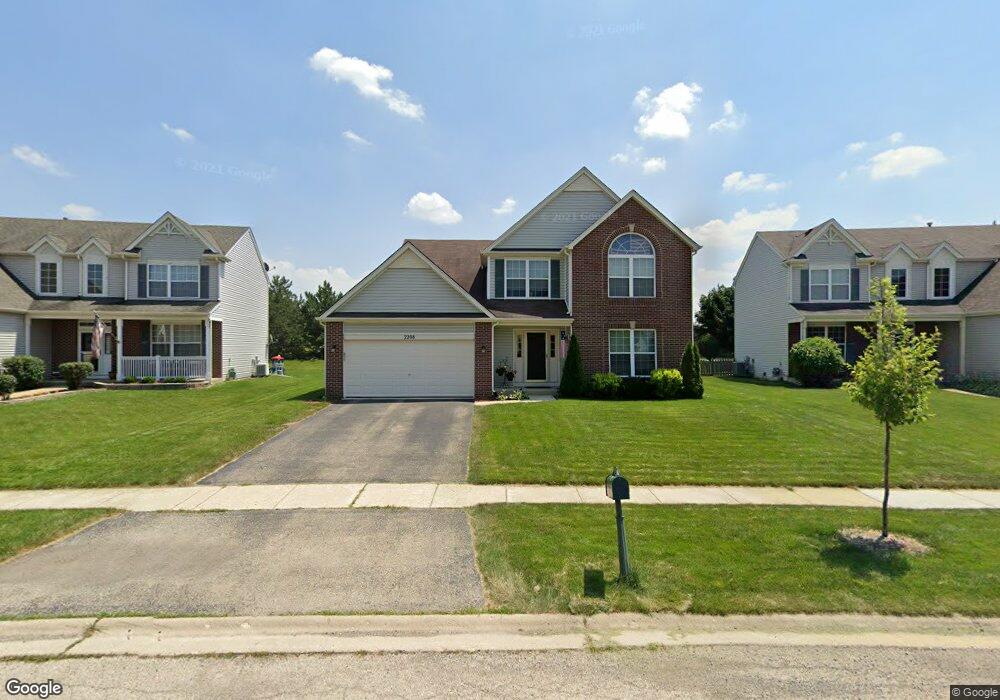
2208 Ashby Ln Unit 1 Plainfield, IL 60586
North Minooka NeighborhoodEstimated Value: $403,547 - $436,000
--
Bed
1
Bath
2,308
Sq Ft
$181/Sq Ft
Est. Value
About This Home
This home is located at 2208 Ashby Ln Unit 1, Plainfield, IL 60586 and is currently estimated at $418,137, approximately $181 per square foot. 2208 Ashby Ln Unit 1 is a home located in Kendall County with nearby schools including Charles Reed Elementary School, Aux Sable Middle School, and Plainfield South High School.
Ownership History
Date
Name
Owned For
Owner Type
Purchase Details
Closed on
Sep 13, 2001
Sold by
Neumann Homes Inc
Bought by
Pollard Brian M and Pollard Aleece M
Current Estimated Value
Home Financials for this Owner
Home Financials are based on the most recent Mortgage that was taken out on this home.
Original Mortgage
$210,450
Outstanding Balance
$81,944
Interest Rate
6.97%
Estimated Equity
$336,193
Create a Home Valuation Report for This Property
The Home Valuation Report is an in-depth analysis detailing your home's value as well as a comparison with similar homes in the area
Home Values in the Area
Average Home Value in this Area
Purchase History
| Date | Buyer | Sale Price | Title Company |
|---|---|---|---|
| Pollard Brian M | $222,000 | Chicago Title Insurance Co |
Source: Public Records
Mortgage History
| Date | Status | Borrower | Loan Amount |
|---|---|---|---|
| Open | Pollard Brian M | $210,450 |
Source: Public Records
Tax History Compared to Growth
Tax History
| Year | Tax Paid | Tax Assessment Tax Assessment Total Assessment is a certain percentage of the fair market value that is determined by local assessors to be the total taxable value of land and additions on the property. | Land | Improvement |
|---|---|---|---|---|
| 2024 | $8,463 | $123,036 | $15,449 | $107,587 |
| 2023 | $7,336 | $111,705 | $13,434 | $98,271 |
| 2022 | $7,336 | $98,116 | $13,133 | $84,983 |
| 2021 | $6,619 | $87,321 | $13,111 | $74,210 |
| 2020 | $6,698 | $86,762 | $13,027 | $73,735 |
| 2019 | $6,492 | $82,951 | $13,027 | $69,924 |
| 2018 | $6,144 | $77,807 | $13,027 | $64,780 |
| 2017 | $6,061 | $73,253 | $13,027 | $60,226 |
| 2016 | $5,782 | $68,618 | $12,866 | $55,752 |
| 2015 | $5,648 | $64,163 | $12,210 | $51,953 |
| 2014 | -- | $59,530 | $12,210 | $47,320 |
| 2013 | -- | $59,530 | $12,210 | $47,320 |
Source: Public Records
Map
Nearby Homes
- 2217 Ashby Ln
- 2302 Covington Ct
- 2152 Brayton Place
- 1918 Crosswind Dr
- 2002 Havenhill Dr
- 2404 White Ash Ct
- 7603 Locust Ln
- 7311 Fordham Ln
- 2017 Lilyana Ln
- 1713 Burshire Dr
- 6910 Manchester Dr
- 2573 Canyon Dr Unit 310
- 2625 Canyon Dr Unit 830
- 6981 Paradise Cir Unit 2
- 7906 Deer Crossing Dr
- 1821 Overland Dr
- BELLAMY Plan at Ashford Place
- COVENTRY Plan at Ashford Place
- HENLEY Plan at Ashford Place
- HOLCOMBE Plan at Ashford Place
- 2206 Ashby Ln
- 2210 Ashby Ln Unit 1
- 2204 Ashby Ln Unit 1
- 2212 Ashby Ln
- 2207 Ashby Ln Unit 1
- 2202 Ashby Ln Unit 1
- 2214 Ashby Ln Unit 1
- 2205 Ashby Ln
- 2209 Ashby Ln
- 2203 Ashby Ln Unit 1
- 2211 Ashby Ln
- 2217 Covington Ln Unit 2
- 2200 Ashby Ln Unit 1
- 2216 Ashby Ln Unit 1
- 2215 Covington Ln Unit 2
- 7422 Rosewind Dr
- 2201 Ashby Ln
- 7424 Rosewind Dr Unit 2
- 2213 Ashby Ln Unit 1
- 2219 Covington Ln